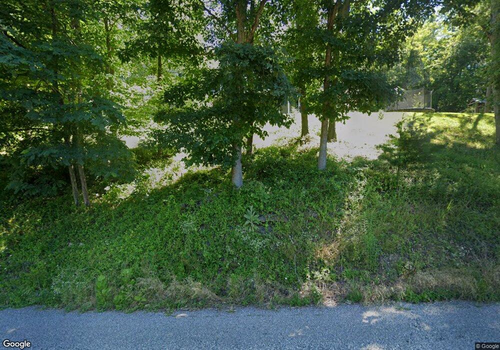
2217 Scott Depot Rd Scott Depot, WV 25560
Estimated Value: $497,000 - $640,000
5
Beds
4
Baths
3,979
Sq Ft
$143/Sq Ft
Est. Value
About This Home
This home is located at 2217 Scott Depot Rd, Scott Depot, WV 25560 and is currently estimated at $568,547, approximately $142 per square foot. 2217 Scott Depot Rd is a home.
Ownership History
Date
Name
Owned For
Owner Type
Purchase Details
Closed on
May 6, 2013
Sold by
Woodyard Billy R and Woodyard Robin
Bought by
Deel Christopher S and Deel Andrea D
Current Estimated Value
Create a Home Valuation Report for This Property
The Home Valuation Report is an in-depth analysis detailing your home's value as well as a comparison with similar homes in the area
Home Values in the Area
Average Home Value in this Area
Purchase History
| Date | Buyer | Sale Price | Title Company |
|---|---|---|---|
| Deel Christopher S | $57,500 | -- |
Source: Public Records
Tax History Compared to Growth
Tax History
| Year | Tax Paid | Tax Assessment Tax Assessment Total Assessment is a certain percentage of the fair market value that is determined by local assessors to be the total taxable value of land and additions on the property. | Land | Improvement |
|---|---|---|---|---|
| 2024 | $3,249 | $237,840 | $20,760 | $217,080 |
| 2023 | $2,680 | $229,440 | $20,220 | $209,220 |
| 2022 | $2,685 | $222,780 | $19,860 | $202,920 |
| 2021 | $2,340 | $193,260 | $19,080 | $174,180 |
| 2020 | $2,268 | $187,500 | $20,040 | $167,460 |
| 2019 | $2,158 | $175,740 | $20,040 | $155,700 |
| 2018 | $2,123 | $172,440 | $20,040 | $152,400 |
| 2017 | $1,881 | $151,560 | $18,300 | $133,260 |
| 2016 | $515 | $20,640 | $20,640 | $0 |
| 2015 | $519 | $20,640 | $20,640 | $0 |
| 2014 | $671 | $26,700 | $26,700 | $0 |
Source: Public Records
Map
Nearby Homes
- 2671 Scott Depot Rd
- 0 Poplar Estates Dr
- TBD Hedrick Rd
- 413 Lyman Ln
- 115 Rolling Meadows Dr
- 149 Beechwood Estates
- 209 Maplewood Estates
- 7732 Teays Valley Rd
- 116 Knights Ct
- 200 Bent Tree Estates
- 5431 Teays Valley Rd
- 1070 Teays Ln
- 107 Woodstone Dr
- 146 Tyler Way
- 0 Poplar Estates Unit 272168
- 403 Hodges Rd
- 0 Hedrick Rd Unit WVPU2000008
- Lot 12 Crooked Creek Rd
- 00 Hedrick Rd
- 600 Hedrick Rd
- 3857 Poplar Fork Rd
- 2299 Scott Depot Rd
- 2300 Scott Depot Rd
- 401 Poplar Fork Rd
- 364 Poplar Fork Rd
- 364 Poplar Fork Rd
- 107 Fletcher Rd
- 325 Poplar Fork Rd
- 2113 Scott Depot Rd
- 2406 Poplar Fork Rd
- 345 Poplar Fork Rd
- 345 Poplar Fork Rd
- 290 Poplar Fork Rd
- 2535 Scott Depot Rd
- 130 Burns Rd
- 124 Burns Rd
- 132 Burns Rd
- 475 Hess Dr
- 342 Poplar Fork Rd
- 140 Burns Rd
