2217 W 62nd St N Newton, IA 50208
Estimated Value: $299,000 - $370,000
3
Beds
1
Bath
1,904
Sq Ft
$178/Sq Ft
Est. Value
About This Home
This home is located at 2217 W 62nd St N, Newton, IA 50208 and is currently estimated at $338,052, approximately $177 per square foot. 2217 W 62nd St N is a home located in Jasper County with nearby schools including Thomas Jefferson Elementary School, Woodrow Wilson Elementary School, and Berg Middle School.
Ownership History
Date
Name
Owned For
Owner Type
Purchase Details
Closed on
Feb 2, 2018
Sold by
Cook Douglas A and Cook Jill
Bought by
Cook Douglas A
Current Estimated Value
Home Financials for this Owner
Home Financials are based on the most recent Mortgage that was taken out on this home.
Original Mortgage
$67,900
Outstanding Balance
$38,562
Interest Rate
3.95%
Mortgage Type
Purchase Money Mortgage
Estimated Equity
$299,490
Purchase Details
Closed on
Jun 29, 2005
Sold by
Dodd Peggy Colleen
Bought by
Cook Douglas A and Cook Jill
Home Financials for this Owner
Home Financials are based on the most recent Mortgage that was taken out on this home.
Original Mortgage
$21,200
Interest Rate
5.69%
Mortgage Type
Credit Line Revolving
Create a Home Valuation Report for This Property
The Home Valuation Report is an in-depth analysis detailing your home's value as well as a comparison with similar homes in the area
Home Values in the Area
Average Home Value in this Area
Purchase History
| Date | Buyer | Sale Price | Title Company |
|---|---|---|---|
| Cook Douglas A | -- | -- | |
| Cook Douglas A | $106,000 | United Land Title Co |
Source: Public Records
Mortgage History
| Date | Status | Borrower | Loan Amount |
|---|---|---|---|
| Open | Cook Douglas A | $67,900 | |
| Previous Owner | Cook Douglas A | $21,200 | |
| Previous Owner | Cook Douglas A | $84,800 |
Source: Public Records
Tax History Compared to Growth
Tax History
| Year | Tax Paid | Tax Assessment Tax Assessment Total Assessment is a certain percentage of the fair market value that is determined by local assessors to be the total taxable value of land and additions on the property. | Land | Improvement |
|---|---|---|---|---|
| 2025 | $2,830 | $270,210 | $80,400 | $189,810 |
| 2024 | $2,830 | $227,820 | $49,670 | $178,150 |
| 2023 | $2,742 | $227,820 | $49,670 | $178,150 |
| 2022 | $2,448 | $183,470 | $49,670 | $133,800 |
| 2021 | $2,178 | $174,250 | $49,670 | $124,580 |
| 2020 | $2,178 | $148,400 | $34,350 | $114,050 |
| 2019 | $1,996 | $128,230 | $0 | $0 |
| 2018 | $1,996 | $128,230 | $0 | $0 |
| 2017 | $2,000 | $128,230 | $0 | $0 |
| 2016 | $2,000 | $128,230 | $0 | $0 |
| 2015 | $1,946 | $127,020 | $0 | $0 |
| 2014 | $1,888 | $127,020 | $0 | $0 |
Source: Public Records
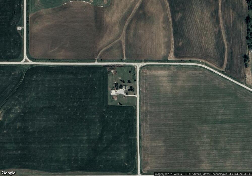
Map
Nearby Homes
- 3729 W 56th St N
- 5323 Highway F36 W
- 6911 Highway F48 W
- 4848 W 48th St N
- 2214 Highway F48 W
- 1650 W 28th St N
- 299 Hickory St
- 124 Emerson Hough Dr
- 6911-10 Highway F 48 W
- 1149 W 28th St S
- 860 W 28th St S
- TBD W 28th St S
- 3390 W 62nd St S
- 913 W 18th St S
- 1221 Monroe Dr
- 210 W 13th St S
- 1431 Cardinal Ridge Dr
- 549 W 10th St N
- 237 W 12th St S
- 304 W 11th St N