22176 Evans Rd West Mansfield, OH 43358
Estimated Value: $96,000 - $325,849
4
Beds
2
Baths
2,060
Sq Ft
$118/Sq Ft
Est. Value
About This Home
This home is located at 22176 Evans Rd, West Mansfield, OH 43358 and is currently estimated at $243,962, approximately $118 per square foot. 22176 Evans Rd is a home located in Union County with nearby schools including Raymond Elementary School, Creekview Intermediate Elementary School, and Bunsold Middle School.
Ownership History
Date
Name
Owned For
Owner Type
Purchase Details
Closed on
Oct 19, 2022
Sold by
Pease Mary Amanda and Pease Eric D
Bought by
Stallings Nancy L and Walker Danny R
Current Estimated Value
Home Financials for this Owner
Home Financials are based on the most recent Mortgage that was taken out on this home.
Original Mortgage
$86,330
Interest Rate
6.7%
Mortgage Type
New Conventional
Purchase Details
Closed on
Jul 12, 2006
Sold by
Brown Mary Luana
Bought by
Grove Mary Amanda and Brown William Valen
Purchase Details
Closed on
May 25, 2005
Sold by
Brown Mary Luana
Bought by
Pease Eric D and Amanda Rove M
Home Financials for this Owner
Home Financials are based on the most recent Mortgage that was taken out on this home.
Original Mortgage
$149,606
Interest Rate
5.91%
Mortgage Type
Purchase Money Mortgage
Create a Home Valuation Report for This Property
The Home Valuation Report is an in-depth analysis detailing your home's value as well as a comparison with similar homes in the area
Purchase History
| Date | Buyer | Sale Price | Title Company |
|---|---|---|---|
| Stallings Nancy L | $89,000 | None Listed On Document | |
| Grove Mary Amanda | -- | None Available | |
| Pease Eric D | -- | -- |
Source: Public Records
Mortgage History
| Date | Status | Borrower | Loan Amount |
|---|---|---|---|
| Previous Owner | Stallings Nancy L | $86,330 | |
| Previous Owner | Pease Eric D | $149,606 |
Source: Public Records
Tax History
| Year | Tax Paid | Tax Assessment Tax Assessment Total Assessment is a certain percentage of the fair market value that is determined by local assessors to be the total taxable value of land and additions on the property. | Land | Improvement |
|---|---|---|---|---|
| 2024 | $2,471 | $33,230 | $11,220 | $22,010 |
| 2023 | $2,510 | $33,230 | $11,220 | $22,010 |
| 2022 | $3,873 | $70,710 | $48,700 | $22,010 |
| 2021 | $3,869 | $151,730 | $133,250 | $18,480 |
| 2020 | $3,335 | $151,730 | $133,250 | $18,480 |
| 2019 | $3,423 | $151,730 | $133,250 | $18,480 |
| 2018 | $3,948 | $134,680 | $123,680 | $11,000 |
| 2017 | $3,732 | $134,680 | $123,680 | $11,000 |
| 2016 | $3,720 | $134,680 | $123,680 | $11,000 |
| 2015 | $3,363 | $112,500 | $104,820 | $7,680 |
| 2014 | $3,363 | $112,500 | $104,820 | $7,680 |
| 2013 | $3,171 | $112,500 | $104,820 | $7,680 |
Source: Public Records
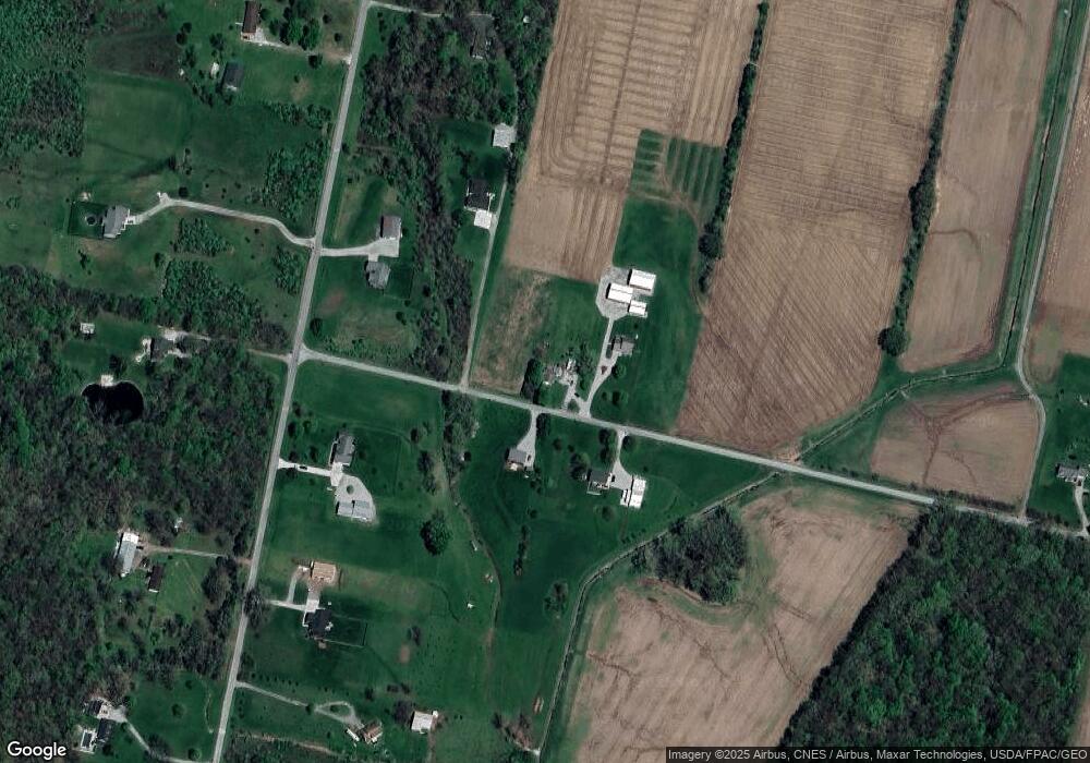
Map
Nearby Homes
- 23564 Shirk Ave
- 0 Main St
- 23051 Bear Swamp Rd
- 22437 State Route 739
- 20689 State Route 47
- 28370 Ohio 739
- 22015 Liberty West Rd
- 18902 State Route 347
- 262 S Main St
- 28384 Bitler Rd
- 23750 Drake-Skidmore Rd
- 271 N Dean St
- 0 Johnson Rd Unit 226000479
- 0 Johnson Rd Unit 225027964
- 25875 Ohio 31
- 1322 Forest Edge Dr
- 0 Benton Rd Unit 226004840
- 30650 State Route 739
- 18055 Miller Rd
- 830 Lorenzo Ct
- 22135 Evans Rd
- 22170 Evans Rd
- 22195 Evans Rd
- 22222 Evans Rd
- 0 Storms Unit 60449
- 0 Storms Unit 9832479
- 0 Storms Unit 9829449
- 0 Storms Unit 218027300
- 25505 Storms Rd
- 25700 Storms Rd
- 25360 Storms Rd
- 25425 Storms Rd
- 25350 Storms Rd
- 25371 Storms Rd
- 25663 Storms Rd
- 25736 Storms Rd
- 25270 Storms Rd
- 21960 Evans Rd
- 25299 Storms Rd
- 25319 Storms Rd
Your Personal Tour Guide
Ask me questions while you tour the home.