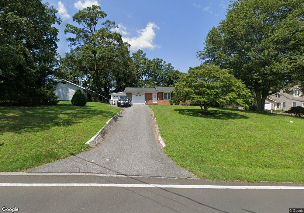
2218 Dennings Rd New Windsor, MD 21776
Estimated Value: $626,000 - $846,000
Studio
3
Baths
2,706
Sq Ft
$264/Sq Ft
Est. Value
About This Home
This home is located at 2218 Dennings Rd, New Windsor, MD 21776 and is currently estimated at $715,321, approximately $264 per square foot. 2218 Dennings Rd is a home located in Carroll County with nearby schools including Winfield Elementary School, Mount Airy Middle School, and South Carroll High School.
Ownership History
Date
Name
Owned For
Owner Type
Purchase Details
Closed on
Aug 13, 2013
Sold by
Keiser Thomas M and Keiser Nancy L
Bought by
The County Commissioners Of Carroll Coun
Current Estimated Value
Purchase Details
Closed on
Oct 9, 2002
Sold by
Keiser Thomas Matthew
Bought by
Keiser Thomas Matthew and Keiser Nancy Lynn
Purchase Details
Closed on
Sep 14, 1999
Sold by
Foster Sandra J
Bought by
Keiser Thomas Matthew and Fritz Nancy Lynn
Purchase Details
Closed on
Aug 22, 1995
Sold by
Foster Richard A
Bought by
Foster Sandra J
Create a Home Valuation Report for This Property
The Home Valuation Report is an in-depth analysis detailing your home's value as well as a comparison with similar homes in the area
Purchase History
| Date | Buyer | Sale Price | Title Company |
|---|---|---|---|
| The County Commissioners Of Carroll Coun | -- | None Available | |
| Keiser Thomas Matthew | -- | -- | |
| Keiser Thomas Matthew | $170,000 | -- | |
| Foster Sandra J | -- | -- |
Source: Public Records
Tax History
| Year | Tax Paid | Tax Assessment Tax Assessment Total Assessment is a certain percentage of the fair market value that is determined by local assessors to be the total taxable value of land and additions on the property. | Land | Improvement |
|---|---|---|---|---|
| 2025 | $5,421 | $516,500 | $0 | $0 |
| 2024 | $5,142 | $453,800 | $135,800 | $318,000 |
| 2023 | $5,113 | $451,233 | $0 | $0 |
| 2022 | $5,084 | $448,667 | $0 | $0 |
| 2021 | $10,322 | $446,100 | $135,800 | $310,300 |
| 2020 | $5,006 | $437,733 | $0 | $0 |
| 2019 | $4,912 | $429,367 | $0 | $0 |
| 2018 | $4,774 | $421,000 | $135,800 | $285,200 |
| 2017 | $4,623 | $407,433 | $0 | $0 |
| 2016 | -- | $393,867 | $0 | $0 |
| 2015 | -- | $380,300 | $0 | $0 |
| 2014 | -- | $380,300 | $0 | $0 |
Source: Public Records
Map
Nearby Homes
- 2900 Marston Rd
- 3026 Marston Rd
- PARCEL 198 Dennings Rd
- Lot 15 Westview Dr
- 2315 Sandel Ln
- 4047 Ridge Rd
- 1658 Sams Creek Rd
- 2514 W Liberty Rd
- 2613 Liberty Rd
- 4328 Ridge Rd Unit 13
- 3501 Sams Creek Rd
- 4505 Gray Horse Dr
- 1802 Ridge Rd
- 1810 Stone Chapel Rd
- 3816 A Jim Smith Ln
- 15539 Liberty Rd
- 0 Bear Branch Rd
- 970 Oak Tree Rd
- 2810 Town View Cir
- 2833 Town View Cir
- 2224 Dennings Rd
- Dennings Rd
- 2214 Dennings Rd
- 2210 Dennings Rd
- 2230 Dennings Rd
- 2206 Dennings Rd
- 2202 Dennings Rd
- 2221 Doctor Stitely Rd
- 2184 Dennings Rd
- 2918 Marston Rd
- 2174 Dennings Rd
- 2225 Doctor Stitely Rd
- 2176 Dennings Rd
- 2922 Marston Rd Unit 2
- 2922 Marston Rd Unit D
- 2922 Marston Rd
- 2231 Doctor Stitely Rd
- 3002 Glenvue Dr
- 3006 Glenvue Dr
Your Personal Tour Guide
Ask me questions while you tour the home.