22185 E Euclid Dr Aurora, CO 80016
Saddle Rock NeighborhoodEstimated Value: $580,000 - $613,000
3
Beds
3
Baths
2,854
Sq Ft
$209/Sq Ft
Est. Value
About This Home
This home is located at 22185 E Euclid Dr, Aurora, CO 80016 and is currently estimated at $595,871, approximately $208 per square foot. 22185 E Euclid Dr is a home located in Arapahoe County with nearby schools including Creekside Elementary School, Liberty Middle School, and Grandview High School.
Ownership History
Date
Name
Owned For
Owner Type
Purchase Details
Closed on
Nov 6, 2015
Sold by
The Mmmrrt Trust
Bought by
The Margery Louise Mcconnell Mcknight Re
Current Estimated Value
Purchase Details
Closed on
Oct 25, 2012
Sold by
Anderson Gerald S and Anderson Denise R
Bought by
The Mmmrrt Trust
Purchase Details
Closed on
Apr 28, 2011
Sold by
Naramata Builders Lllp
Bought by
Anderson Gerald S and Andrson Denise R
Create a Home Valuation Report for This Property
The Home Valuation Report is an in-depth analysis detailing your home's value as well as a comparison with similar homes in the area
Home Values in the Area
Average Home Value in this Area
Purchase History
We collect this data history from publicly available records. To have your information removed, we recommend requesting removal directly through your county’s website.
| Date | Buyer | Sale Price | Title Company |
|---|---|---|---|
| The Margery Louise Mcconnell Mcknight Re | $390,000 | Fidelity National Title Ins | |
| The Mmmrrt Trust | -- | None Available | |
| Anderson Gerald S | $289,900 | Land Title Guarantee Company | |
| Naramata Builders Lllp | -- | Land Title Guarantee Company |
Source: Public Records
Tax History
| Year | Tax Paid | Tax Assessment Tax Assessment Total Assessment is a certain percentage of the fair market value that is determined by local assessors to be the total taxable value of land and additions on the property. | Land | Improvement |
|---|---|---|---|---|
| 2025 | $4,849 | $39,619 | -- | -- |
| 2024 | $4,490 | $39,289 | -- | -- |
| 2023 | $4,490 | $39,289 | $0 | $0 |
| 2022 | $4,274 | $33,687 | $0 | $0 |
| 2021 | $4,272 | $33,687 | $0 | $0 |
| 2020 | $4,217 | $33,669 | $0 | $0 |
| 2019 | $4,132 | $33,669 | $0 | $0 |
| 2018 | $3,833 | $29,930 | $0 | $0 |
| 2017 | $3,803 | $29,930 | $0 | $0 |
| 2016 | $3,468 | $26,220 | $0 | $0 |
| 2015 | $3,343 | $26,220 | $0 | $0 |
| 2014 | $3,236 | $23,530 | $0 | $0 |
| 2013 | -- | $18,570 | $0 | $0 |
Source: Public Records
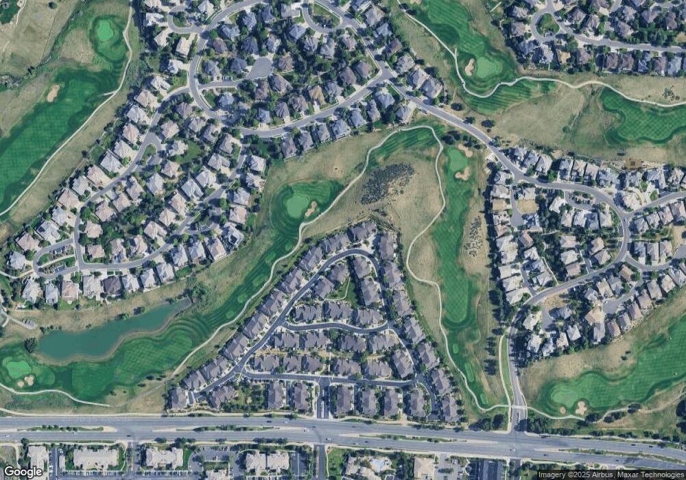
Map
Nearby Homes
- 22242 E Euclid Dr
- 22141 E Euclid Place
- 6536 S Riviera Way
- 22045 E Hoover Dr
- 6615 S Quemoy Cir
- 22520 E Ontario Dr Unit 202
- 22520 E Ontario Dr Unit 101
- 22505 E Ontario Dr Unit 102
- 22655 E Ontario Dr Unit 203
- 22545 E Ontario Dr Unit 102
- 22560 E Ontario Dr Unit 103
- 22560 E Ontario Dr Unit 204
- 22580 E Ontario Dr Unit 104
- 22675 E Ontario Dr Unit 104
- 6701 S Versailles Way Unit 106
- 22753 E Briarwood Place
- 22716 E Ottawa Place
- 21916 E Costilla Dr
- 22785 E Ottawa Place
- 22448 E Plymouth Cir
- 22175 E Euclid Dr
- 22203 E Euclid Dr
- 22165 E Euclid Dr
- 22211 E Euclid Dr
- 22155 E Euclid Dr
- 22154 E Euclid Dr
- 22213 E Euclid Dr
- 22145 E Euclid Dr
- 22232 E Euclid Dr
- 22144 E Euclid Dr
- 22223 E Euclid Dr
- 22135 E Euclid Dr
- 22231 E Euclid Dr
- 22221 E Euclid Dr
- 22240 E Euclid Dr
- 22134 E Euclid Dr
- 22125 E Euclid Dr
- 22233 E Euclid Dr
- 22233 E Euclid Dr Unit 12
- 22124 E Euclid Dr Unit 37
Your Personal Tour Guide
Ask me questions while you tour the home.