Estimated Value: $198,000 - $390,000
4
Beds
3
Baths
1,624
Sq Ft
$181/Sq Ft
Est. Value
About This Home
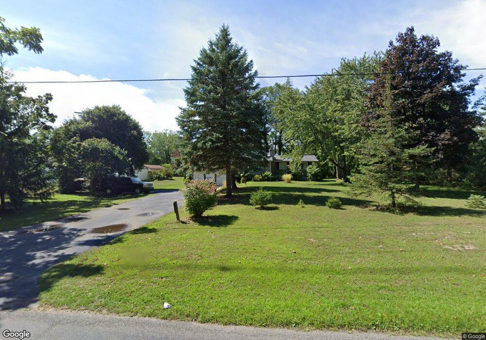
This home is located at 2219 Gunn Rd, Holt, MI 48842 and is currently estimated at $293,439, approximately $180 per square foot. 2219 Gunn Rd is a home located in Ingham County with nearby schools including Horizon Elementary School, Washington Woods Middle School, and Holt Junior High School.
Ownership History
Date
Name
Owned For
Owner Type
Purchase Details
Closed on
Jan 26, 2007
Sold by
Bunker Brian D and Bunker Brent D
Bought by
Bunker Brian D
Current Estimated Value
Purchase Details
Closed on
Nov 14, 2002
Sold by
Bunker Brian D and Bunker Brian Dale
Bought by
Bunker Brian D and Bunker Brent D
Home Financials for this Owner
Home Financials are based on the most recent Mortgage that was taken out on this home.
Original Mortgage
$135,000
Outstanding Balance
$57,502
Interest Rate
6.25%
Mortgage Type
Purchase Money Mortgage
Estimated Equity
$235,937
Purchase Details
Closed on
Nov 21, 1997
Create a Home Valuation Report for This Property
The Home Valuation Report is an in-depth analysis detailing your home's value as well as a comparison with similar homes in the area
Home Values in the Area
Average Home Value in this Area
Purchase History
| Date | Buyer | Sale Price | Title Company |
|---|---|---|---|
| Bunker Brian D | -- | None Available | |
| Bunker Brian D | -- | None Available | |
| Bunker Brian D | -- | First Am Title | |
| Bunker Brian D | -- | First Am Title | |
| -- | $110,000 | -- |
Source: Public Records
Mortgage History
| Date | Status | Borrower | Loan Amount |
|---|---|---|---|
| Open | Bunker Brian D | $135,000 |
Source: Public Records
Tax History
| Year | Tax Paid | Tax Assessment Tax Assessment Total Assessment is a certain percentage of the fair market value that is determined by local assessors to be the total taxable value of land and additions on the property. | Land | Improvement |
|---|---|---|---|---|
| 2025 | $4,690 | $136,600 | $14,500 | $122,100 |
| 2024 | $4,376 | $102,400 | $14,500 | $87,900 |
| 2023 | $4,376 | $95,900 | $13,100 | $82,800 |
| 2022 | $4,159 | $93,200 | $13,100 | $80,100 |
| 2021 | $4,058 | $90,900 | $13,100 | $77,800 |
| 2020 | $4,144 | $84,500 | $13,100 | $71,400 |
| 2019 | $3,938 | $79,600 | $13,100 | $66,500 |
| 2018 | $3,914 | $75,800 | $12,400 | $63,400 |
| 2017 | $3,626 | $75,800 | $12,400 | $63,400 |
| 2016 | $3,593 | $76,200 | $12,400 | $63,800 |
| 2015 | $3,559 | $74,700 | $24,721 | $49,979 |
| 2014 | $3,559 | $72,100 | $27,632 | $44,468 |
Source: Public Records
Map
Nearby Homes
- 5360 Holt Rd
- 5386 Auben Ln
- V L 00 Holt Rd
- 2340 Washington Rd
- 4942 Holt Rd
- 2145 Aspenwood Dr
- 921 E Willoughby Rd
- 5653 Skylar Dr
- 6817 S Washington Ave
- 2245 Main St
- 5170 Beaumaris Cir
- 5671 Skylar Dr
- 1975 Hollowbrook Dr
- 5091 Runnymede Dr
- 5040 Runnymede Dr
- 1851 Hollowbrook Dr
- 6444 Sommerset Rd
- 6429 Rosedale Rd
- 4662 Tolland Ave
- 4641 Tolland Ave
Your Personal Tour Guide
Ask me questions while you tour the home.