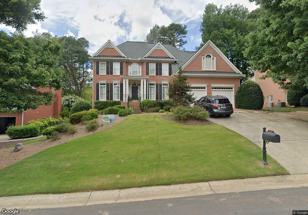
2219 Lasalle Dr Unit 1 Marietta, GA 30062
East Cobb NeighborhoodEstimated Value: $960,874 - $1,239,000
4
Beds
4
Baths
2,998
Sq Ft
$358/Sq Ft
Est. Value
About This Home
This home is located at 2219 Lasalle Dr Unit 1, Marietta, GA 30062 and is currently estimated at $1,072,969, approximately $357 per square foot. 2219 Lasalle Dr Unit 1 is a home located in Cobb County with nearby schools including Mount Bethel Elementary School, Dodgen Middle School, and Walton High School.
Ownership History
Date
Name
Owned For
Owner Type
Purchase Details
Closed on
Jun 6, 2017
Sold by
Kirila Yvonne R
Bought by
Curlee William R and Curlee Katherine King
Current Estimated Value
Home Financials for this Owner
Home Financials are based on the most recent Mortgage that was taken out on this home.
Original Mortgage
$424,100
Outstanding Balance
$352,207
Interest Rate
4.05%
Mortgage Type
New Conventional
Estimated Equity
$720,762
Purchase Details
Closed on
Feb 11, 2002
Sold by
Prudential Residential Svc
Bought by
Kirila Karl J and Kirila Yvonne R
Home Financials for this Owner
Home Financials are based on the most recent Mortgage that was taken out on this home.
Original Mortgage
$428,000
Interest Rate
7.02%
Mortgage Type
New Conventional
Purchase Details
Closed on
Sep 26, 1996
Sold by
John Wieland Homes
Bought by
Farmer Michael L Susan
Create a Home Valuation Report for This Property
The Home Valuation Report is an in-depth analysis detailing your home's value as well as a comparison with similar homes in the area
Home Values in the Area
Average Home Value in this Area
Purchase History
| Date | Buyer | Sale Price | Title Company |
|---|---|---|---|
| Curlee William R | $680,000 | -- | |
| Kirila Karl J | $535,000 | -- | |
| Prudential Residential Svc | $535,000 | -- | |
| Farmer Michael L Susan | $324,000 | -- |
Source: Public Records
Mortgage History
| Date | Status | Borrower | Loan Amount |
|---|---|---|---|
| Open | Curlee William R | $424,100 | |
| Closed | Curlee William R | $153,900 | |
| Previous Owner | Prudential Residential Svc | $428,000 | |
| Closed | Farmer Michael L Susan | $0 |
Source: Public Records
Tax History Compared to Growth
Tax History
| Year | Tax Paid | Tax Assessment Tax Assessment Total Assessment is a certain percentage of the fair market value that is determined by local assessors to be the total taxable value of land and additions on the property. | Land | Improvement |
|---|---|---|---|---|
| 2025 | $9,349 | $348,372 | $84,000 | $264,372 |
| 2024 | $8,540 | $310,752 | $84,000 | $226,752 |
| 2023 | $7,997 | $310,752 | $84,000 | $226,752 |
| 2022 | $8,082 | $287,104 | $74,000 | $213,104 |
| 2021 | $8,082 | $287,104 | $74,000 | $213,104 |
| 2020 | $8,082 | $287,104 | $74,000 | $213,104 |
| 2019 | $7,156 | $244,804 | $68,000 | $176,804 |
| 2018 | $7,156 | $244,804 | $68,000 | $176,804 |
| 2017 | $6,706 | $244,804 | $68,000 | $176,804 |
| 2016 | $6,708 | $244,804 | $68,000 | $176,804 |
| 2015 | $6,204 | $219,432 | $79,200 | $140,232 |
| 2014 | $6,257 | $219,432 | $0 | $0 |
Source: Public Records
Map
Nearby Homes
- 2082 Kinsmon Dr
- 4599 Lasalle Ct Unit 8A
- 4255 Green Ridge Dr
- 2100 Stone Hollow Ct
- 4780 Waterhaven Bend
- 4789 Waterhaven Bend
- 2269 Chimney Springs Dr
- 2249 Smoke Stone Cir
- 4580 Roswell Rd
- 2281 Fox Hound Pkwy
- 4586 Hunting Hound Ln
- 4031 Oak Forest Cir
- 4804 Dalhousie Place NE
- 2259 Edgemere Lake Cir
- 4039 Tall Pine Dr
- 1961 Fields Pond Dr
- 4871 Karls Gate Dr
- 2221 Lasalle Dr Unit 9
- 2217 Lasalle Dr Unit 11
- 2223 Lasalle Dr
- 2215 Lasalle Dr
- 2216 Lasalle Dr
- 2220 Lasalle Dr
- 2227 Lasalle Dr
- 2224 Lasalle Dr Unit 9
- 2212 Lasalle Dr
- 1959 Eastside Dr NE
- 2213 Lasalle Dr
- 0 Lasalle Dr Unit 7466618
- 0 Lasalle Dr Unit 3243499
- 0 Lasalle Dr Unit 8759424
- 0 Lasalle Dr Unit 8315279
- 0 Lasalle Dr Unit 8158204
- 0 Lasalle Dr Unit 3264706
- 0 Lasalle Dr Unit 7435740
- 0 Lasalle Dr Unit 7308139
- 0 Lasalle Dr Unit 3138268