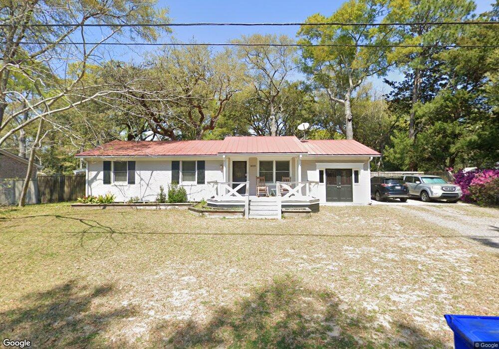
222 5th Ave Mount Pleasant, SC 29464
Remley's Point NeighborhoodEstimated Value: $851,000 - $1,017,272
About This Home
This home is located at 222 5th Ave, Mount Pleasant, SC 29464 and is currently estimated at $934,818, approximately $584 per square foot. 222 5th Ave is a home located in Charleston County with nearby schools including James B. Edwards Elementary School, Moultrie Middle School, and Lucy Garrett Beckham High School.
Ownership History
We collect this data history from publicly available records. To have your information removed, we recommend requesting removal directly through your county’s website.
Purchase Details
Home Financials for this Owner
Home Financials are based on the most recent Mortgage that was taken out on this home.Purchase Details
Purchase Details
Home Values in the Area
Average Home Value in this Area
Purchase History
We collect this data history from publicly available records. To have your information removed, we recommend requesting removal directly through your county’s website.
| Date | Buyer | Sale Price | Title Company |
|---|---|---|---|
| $280,000 | -- | ||
| $97,000 | -- | ||
| $45,000 | -- |
Mortgage History
We collect this data history from publicly available records. To have your information removed, we recommend requesting removal directly through your county’s website.
| Date | Status | Borrower | Loan Amount |
|---|---|---|---|
| Open | $238,000 |
Tax History
We collect this data history from publicly available records. To have your information removed, we recommend requesting removal directly through your county’s website.
| Year | Tax Paid | Tax Assessment Tax Assessment Total Assessment is a certain percentage of the fair market value that is determined by local assessors to be the total taxable value of land and additions on the property. | Land | Improvement |
|---|---|---|---|---|
| 2024 | $1,954 | $16,980 | $0 | $0 |
| 2023 | $1,745 | $16,980 | $0 | $0 |
| 2022 | $1,594 | $16,980 | $0 | $0 |
| 2021 | $1,750 | $16,980 | $0 | $0 |
| 2020 | $1,809 | $16,980 | $0 | $0 |
| 2019 | $1,627 | $15,240 | $0 | $0 |
| 2017 | $1,604 | $15,240 | $0 | $0 |
| 2016 | $1,316 | $12,880 | $0 | $0 |
| 2015 | $1,374 | $12,880 | $0 | $0 |
| 2014 | $1,169 | $0 | $0 | $0 |
| 2011 | -- | $0 | $0 | $0 |
Map
- 211 6th Ave
- 348 Sandpiper Dr Unit E
- 344 Sandpiper Dr Unit D
- 264 Alexandra Dr Unit 10
- 843 Bridge Point Cir
- 342 Spoonbill Ln
- 321 Lapwing Ln
- 330 Sandpiper Dr
- 265 Alexandra Dr Unit 4
- 266 Alexandra Dr Unit 13
- 362 6th Ave
- 311 Lapwing Ln
- 267 Alexandra Rd Unit 12
- 134 3rd Ave
- 271 Alexandra Dr Unit 6
- 272 Alexandra Dr Unit 14.
- 299 Hobcaw Dr
- 319 Hobcaw Dr
- 155 Wingo Way Unit 416
- 155 Wingo Way Unit 426
Ask me questions while you tour the home.