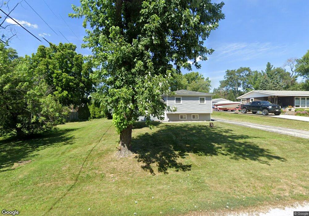
222 68th St Darien, IL 60561
Estimated Value: $313,889 - $380,000
Studio
--
Bath
1,004
Sq Ft
$352/Sq Ft
Est. Value
About This Home
This home is located at 222 68th St, Darien, IL 60561 and is currently estimated at $353,472, approximately $352 per square foot. 222 68th St is a home located in DuPage County with nearby schools including Mark Delay School, Lace Elementary School, and Eisenhower Jr High School.
Ownership History
Date
Name
Owned For
Owner Type
Purchase Details
Closed on
May 30, 2003
Sold by
Sandrik John J and Sandrik Patricia J
Bought by
Enright Kathleen G
Current Estimated Value
Home Financials for this Owner
Home Financials are based on the most recent Mortgage that was taken out on this home.
Original Mortgage
$104,640
Outstanding Balance
$46,170
Interest Rate
5.88%
Mortgage Type
Purchase Money Mortgage
Estimated Equity
$307,302
Create a Home Valuation Report for This Property
The Home Valuation Report is an in-depth analysis detailing your home's value as well as a comparison with similar homes in the area
Home Values in the Area
Average Home Value in this Area
Purchase History
| Date | Buyer | Sale Price | Title Company |
|---|---|---|---|
| Enright Kathleen G | $218,000 | Multiple |
Source: Public Records
Mortgage History
| Date | Status | Borrower | Loan Amount |
|---|---|---|---|
| Open | Enright Kathleen G | $104,640 | |
| Closed | Enright Kathleen G | $51,140 |
Source: Public Records
Tax History
| Year | Tax Paid | Tax Assessment Tax Assessment Total Assessment is a certain percentage of the fair market value that is determined by local assessors to be the total taxable value of land and additions on the property. | Land | Improvement |
|---|---|---|---|---|
| 2024 | $5,058 | $86,500 | $47,670 | $38,830 |
| 2023 | $5,932 | $95,400 | $43,820 | $51,580 |
| 2022 | $5,617 | $89,910 | $41,300 | $48,610 |
| 2021 | $5,146 | $88,890 | $40,830 | $48,060 |
| 2020 | $5,328 | $87,130 | $40,020 | $47,110 |
| 2019 | $5,146 | $83,600 | $38,400 | $45,200 |
| 2018 | $4,769 | $78,490 | $38,240 | $40,250 |
| 2017 | $4,717 | $75,530 | $36,800 | $38,730 |
| 2016 | $4,589 | $72,080 | $35,120 | $36,960 |
| 2015 | $4,516 | $67,810 | $33,040 | $34,770 |
| 2014 | $4,393 | $65,270 | $32,120 | $33,150 |
| 2013 | $4,245 | $64,960 | $31,970 | $32,990 |
Source: Public Records
Map
Nearby Homes
- 301 Lake Hinsdale Dr Unit 108
- 301 Lake Hinsdale Dr Unit 404
- 101 Lake Hinsdale Dr Unit 205
- 6648 Weather Hill Dr
- 6925 Clarendon Hills Rd
- 401 69th St
- 701 Lake Hinsdale Dr Unit 306
- 601 Lake Hinsdale Dr Unit 101
- 601 Lake Hinsdale Dr Unit 112
- 77 Lake Hinsdale Dr Unit 207
- 6503 Clarendon Hills Rd
- 740 67th Place
- 318 Arabian Cir
- 6340 Americana Dr Unit 904
- 6340 Americana Dr Unit 701
- 6136 Bentley Ave
- 7285 Willow Way Ln Unit 3B
- 724 Maplewood Ct Unit 34B
- 7235 Willow Way Ln Unit B
- 520 Ridgemoor Dr
Your Personal Tour Guide
Ask me questions while you tour the home.