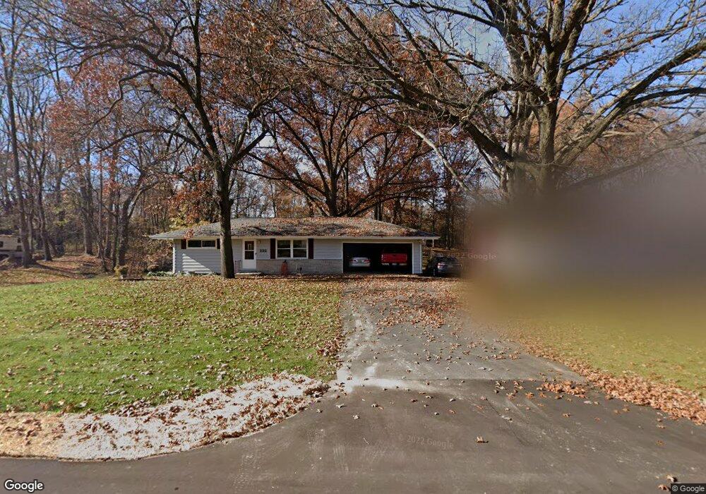
222 Auburn St Battle Creek, MI 49014
Estimated Value: $161,000 - $204,000
2
Beds
1
Bath
876
Sq Ft
$200/Sq Ft
Est. Value
About This Home
This home is located at 222 Auburn St, Battle Creek, MI 49014 and is currently estimated at $175,564, approximately $200 per square foot. 222 Auburn St is a home located in Calhoun County with nearby schools including Harper Creek Middle School, Harper Creek High School, and Family Altar Christian School.
Ownership History
Date
Name
Owned For
Owner Type
Purchase Details
Closed on
Nov 19, 2021
Sold by
Hoag David L and Hoag Teresa A
Bought by
Croft Jacob
Current Estimated Value
Home Financials for this Owner
Home Financials are based on the most recent Mortgage that was taken out on this home.
Original Mortgage
$128,800
Outstanding Balance
$118,186
Interest Rate
3.09%
Mortgage Type
New Conventional
Estimated Equity
$57,378
Create a Home Valuation Report for This Property
The Home Valuation Report is an in-depth analysis detailing your home's value as well as a comparison with similar homes in the area
Home Values in the Area
Average Home Value in this Area
Purchase History
| Date | Buyer | Sale Price | Title Company |
|---|---|---|---|
| Croft Jacob | $128,800 | None Available |
Source: Public Records
Mortgage History
| Date | Status | Borrower | Loan Amount |
|---|---|---|---|
| Open | Croft Jacob | $128,800 |
Source: Public Records
Tax History Compared to Growth
Tax History
| Year | Tax Paid | Tax Assessment Tax Assessment Total Assessment is a certain percentage of the fair market value that is determined by local assessors to be the total taxable value of land and additions on the property. | Land | Improvement |
|---|---|---|---|---|
| 2025 | $2,662 | $71,490 | $0 | $0 |
| 2024 | $1,551 | $69,350 | $0 | $0 |
| 2023 | $2,383 | $68,310 | $0 | $0 |
| 2022 | $1,407 | $59,580 | $0 | $0 |
| 2021 | $1,793 | $54,050 | $0 | $0 |
| 2020 | $1,827 | $49,450 | $0 | $0 |
| 2019 | $2,081 | $46,950 | $0 | $0 |
| 2018 | $1,570 | $45,200 | $7,200 | $38,000 |
| 2017 | $1,570 | $44,000 | $0 | $0 |
| 2016 | $1,570 | $43,000 | $0 | $0 |
| 2015 | $1,073 | $41,550 | $7,205 | $34,345 |
| 2014 | $1,073 | $47,500 | $7,205 | $40,295 |
Source: Public Records
Map
Nearby Homes
- 326 Goldenview Dr
- 246 Brentwood Dr
- 415 Oakvale Ct
- 0 Cherokee St
- 156 Woodway Ave
- 519 S Shore Dr
- 503 S Shore Dr
- 245 Columbia Ave E
- 206 N Chapel Hill Dr
- 52 E Acacia Blvd
- 582 Riverside Dr
- 47 Alden Ave W
- 677 Morningside Dr
- 112 Darragh Dr
- 76 Taft St
- 225 Illinois St
- 136 Jericho Rd
- 401 Morningside Dr
- V/L Riverside Dr
- 418 Main St