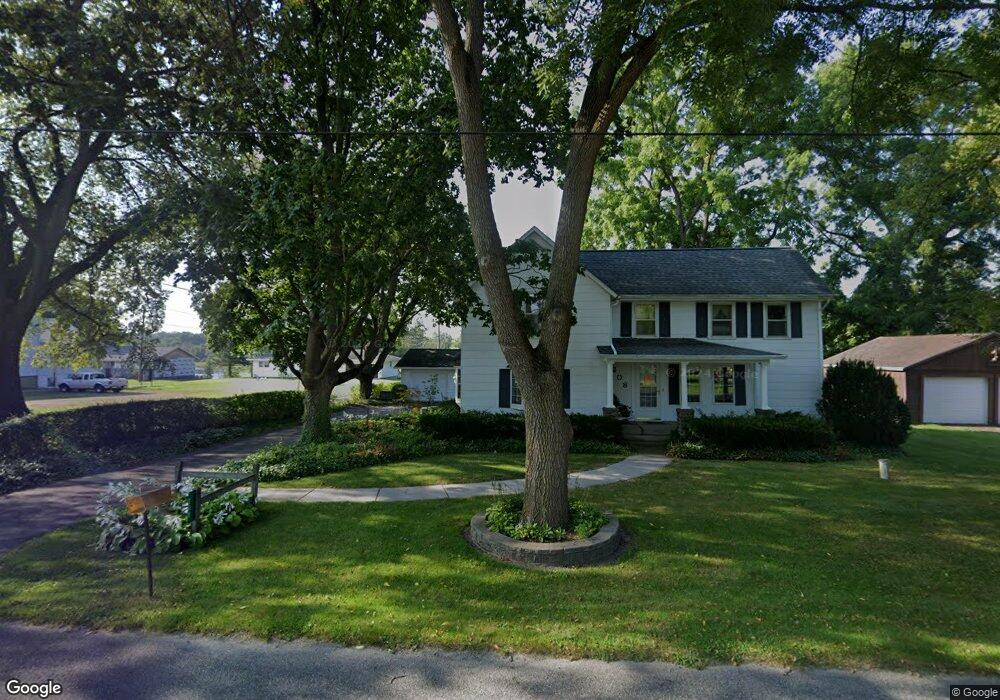
222 C Dr N Ceresco, MI 49033
Estimated Value: $55,000 - $58,791
--
Bed
--
Bath
--
Sq Ft
10,542
Sq Ft Lot
About This Home
This home is located at 222 C Dr N, Ceresco, MI 49033 and is currently estimated at $56,896. 222 C Dr N is a home located in Calhoun County with nearby schools including Harper Creek Middle School and Harper Creek High School.
Ownership History
Date
Name
Owned For
Owner Type
Purchase Details
Closed on
Mar 5, 2015
Sold by
Ceresco Baptist Church
Bought by
Falcon Partners Llc
Current Estimated Value
Purchase Details
Closed on
Sep 26, 2014
Sold by
Tri State Holdings Llc
Bought by
Ceresco Baptist Church
Purchase Details
Closed on
May 24, 2011
Sold by
Sheldon Dorothy
Bought by
Tri State Holdings Llc
Purchase Details
Closed on
Jul 20, 2004
Sold by
Jordan Timmie L and Jordan Debra S
Bought by
Sheldon Dorothy
Purchase Details
Closed on
Sep 18, 1987
Sold by
Jordan Timmie Lee
Bought by
Sheldon Dorothy
Create a Home Valuation Report for This Property
The Home Valuation Report is an in-depth analysis detailing your home's value as well as a comparison with similar homes in the area
Home Values in the Area
Average Home Value in this Area
Purchase History
| Date | Buyer | Sale Price | Title Company |
|---|---|---|---|
| Falcon Partners Llc | -- | Chicago Title | |
| Ceresco Baptist Church | -- | Chicago Title | |
| Tri State Holdings Llc | -- | Chicago Title Of Michigan | |
| Sheldon Dorothy | $27,900 | -- | |
| Sheldon Dorothy | $27,900 | -- |
Source: Public Records
Tax History Compared to Growth
Tax History
| Year | Tax Paid | Tax Assessment Tax Assessment Total Assessment is a certain percentage of the fair market value that is determined by local assessors to be the total taxable value of land and additions on the property. | Land | Improvement |
|---|---|---|---|---|
| 2025 | $37 | $0 | $0 | $0 |
| 2024 | $37 | $0 | $0 | $0 |
| 2023 | $37 | $0 | $0 | $0 |
| 2022 | $37 | $0 | $0 | $0 |
| 2021 | $37 | $0 | $0 | $0 |
| 2020 | $37 | $0 | $0 | $0 |
| 2019 | $0 | $0 | $0 | $0 |
| 2018 | $0 | $0 | $0 | $0 |
| 2017 | $0 | $3,930 | $0 | $0 |
| 2016 | $0 | $3,930 | $0 | $0 |
| 2015 | -- | $4,200 | $3,930 | $270 |
| 2014 | -- | $4,200 | $3,930 | $270 |
Source: Public Records
Map
Nearby Homes
- 275 Battle Creek St
- 15627 13 Mile Rd
- 11506 11 Mile Rd
- 0 V L H Dr N
- 11815 H Dr N
- 323 Wattles Rd S
- 213 Wattles Rd S
- 16565 14 Mile Rd
- 136 Hidden Forest Rd
- 154 Hidden Forest Rd
- 0 N F Dr Unit 23021090
- 216 Winston Dr
- 218 Winston Dr
- 10047 11 Mile Rd
- 11253 Wildwood Dr
- 237 Nixon
- 10660 D Dr S
- 258 Easthill Dr
- 0 15 1 2 Mile Rd Unit 25024661
- 241 Thelma Dr