222 Cherokee Path Roan Mountain, TN 37687
Estimated Value: $569,000 - $660,000
5
Beds
5
Baths
3,902
Sq Ft
$157/Sq Ft
Est. Value
About This Home
This home is located at 222 Cherokee Path, Roan Mountain, TN 37687 and is currently estimated at $614,340, approximately $157 per square foot. 222 Cherokee Path is a home located in Carter County.
Ownership History
Date
Name
Owned For
Owner Type
Purchase Details
Closed on
Sep 28, 2021
Sold by
Spradling Stanley T and Spradling Marcia S
Bought by
Spradling Sean and Spradling Casey
Current Estimated Value
Home Financials for this Owner
Home Financials are based on the most recent Mortgage that was taken out on this home.
Original Mortgage
$320,000
Outstanding Balance
$289,904
Interest Rate
2.8%
Mortgage Type
New Conventional
Estimated Equity
$324,436
Purchase Details
Closed on
Feb 25, 1991
Purchase Details
Closed on
Mar 11, 1986
Bought by
Gwyn Roy R and Gwyn Audrey L
Purchase Details
Closed on
Jan 31, 1983
Create a Home Valuation Report for This Property
The Home Valuation Report is an in-depth analysis detailing your home's value as well as a comparison with similar homes in the area
Purchase History
| Date | Buyer | Sale Price | Title Company |
|---|---|---|---|
| Spradling Sean | $400,000 | Boston National Ttl Agcy Llc | |
| -- | $130,000 | -- | |
| Spradling Stanley T | -- | -- | |
| Gwyn Roy R | -- | -- | |
| -- | -- | -- |
Source: Public Records
Mortgage History
| Date | Status | Borrower | Loan Amount |
|---|---|---|---|
| Open | Spradling Sean | $320,000 |
Source: Public Records
Tax History
| Year | Tax Paid | Tax Assessment Tax Assessment Total Assessment is a certain percentage of the fair market value that is determined by local assessors to be the total taxable value of land and additions on the property. | Land | Improvement |
|---|---|---|---|---|
| 2025 | $2,092 | $95,950 | $14,300 | $81,650 |
| 2024 | $2,092 | $95,950 | $14,300 | $81,650 |
| 2023 | $2,092 | $95,950 | $0 | $0 |
| 2022 | $1,948 | $89,625 | $7,975 | $81,650 |
| 2021 | $1,819 | $89,625 | $7,975 | $81,650 |
| 2020 | $1,468 | $89,625 | $7,975 | $81,650 |
| 2019 | $1,472 | $59,600 | $6,525 | $53,075 |
| 2018 | $1,472 | $59,600 | $6,525 | $53,075 |
| 2017 | $1,472 | $59,600 | $6,525 | $53,075 |
| 2016 | $1,460 | $59,600 | $6,525 | $53,075 |
| 2015 | $1,460 | $59,600 | $6,525 | $53,075 |
| 2014 | $1,389 | $56,675 | $6,175 | $50,500 |
Source: Public Records
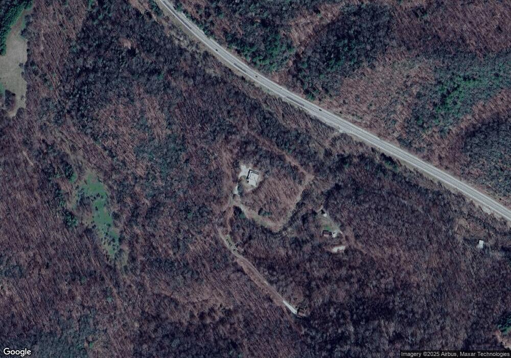
Map
Nearby Homes
- 306 Bear Branch Rd
- 113 Luke Winters Rd
- TBD Bear Branch Rd
- 121 Elisha Garland Rd
- 221 Shell Creek Rd
- 460 Little Elk Rd
- 402 Turkey Knob Ln
- 110 Old Mill Rd
- TBD Buck Mountain Rd
- 8712 U S 19e
- 162 Murph Potter Ln
- 8703 U S 19e
- 370 Woodland Hills Dr
- tbd Poplar Dr
- 169 Teaberry Rd
- Lot 38 May Apple Trail
- Lot 39 May Apple Trail
- TBD Jewel Weed Trail
- Lot 32 Jewel Weed Trail
- 17 Sanctuary Trail
- 223 Cherokee Path
- 177 Cherokee Path
- 225 Cherokee Path
- 122 Cherokee Path
- 9355 U S 19e
- 342 Beaver Creek Ln
- 9197 Highway 19 E
- 172 Winters Rd
- 185 Winters Hollow Pd
- 194 Winters Rd
- 9383 U S 19e
- 187 Winters Rd
- 120 Luke Winters Rd
- 156 Winters Rd
- 9367 Highway 19 E
- 132 E Winters Hollow Pd
- 210 Winters Rd
- 107 Luke Winters Rd
- 109 Kelly Rd
- 228 Willard Perkins Rd
Your Personal Tour Guide
Ask me questions while you tour the home.