222 Clark Camp Rd Cornish, NH 03745
Estimated Value: $450,000 - $752,000
2
Beds
3
Baths
2,143
Sq Ft
$283/Sq Ft
Est. Value
About This Home
This home is located at 222 Clark Camp Rd, Cornish, NH 03745 and is currently estimated at $607,499, approximately $283 per square foot. 222 Clark Camp Rd is a home located in Sullivan County with nearby schools including Cornish Elementary School.
Ownership History
Date
Name
Owned For
Owner Type
Purchase Details
Closed on
Nov 26, 2024
Sold by
Mcalees Lorna R
Bought by
Mcalees Lorna R and Mcalees George M
Current Estimated Value
Create a Home Valuation Report for This Property
The Home Valuation Report is an in-depth analysis detailing your home's value as well as a comparison with similar homes in the area
Home Values in the Area
Average Home Value in this Area
Purchase History
| Date | Buyer | Sale Price | Title Company |
|---|---|---|---|
| Mcalees Lorna R | -- | None Available | |
| Mcalees Lorna R | -- | None Available |
Source: Public Records
Tax History Compared to Growth
Tax History
| Year | Tax Paid | Tax Assessment Tax Assessment Total Assessment is a certain percentage of the fair market value that is determined by local assessors to be the total taxable value of land and additions on the property. | Land | Improvement |
|---|---|---|---|---|
| 2024 | $9,495 | $586,466 | $121,066 | $465,400 |
| 2023 | $7,571 | $288,640 | $74,240 | $214,400 |
| 2022 | $6,844 | $289,147 | $74,747 | $214,400 |
| 2021 | $6,578 | $289,649 | $75,249 | $214,400 |
| 2020 | $6,167 | $289,645 | $75,245 | $214,400 |
| 2019 | $5,653 | $289,582 | $75,182 | $214,400 |
| 2018 | $5,849 | $265,962 | $77,162 | $188,800 |
| 2017 | $5,720 | $265,795 | $76,995 | $188,800 |
| 2016 | $5,686 | $265,722 | $76,922 | $188,800 |
| 2015 | $6,104 | $265,520 | $76,720 | $188,800 |
| 2014 | $6,033 | $265,537 | $110,800 | $154,737 |
| 2013 | $5,227 | $249,258 | $108,700 | $140,558 |
Source: Public Records
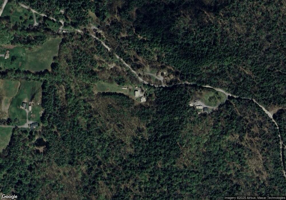
Map
Nearby Homes
- Lot 73A & 74A East Rd
- 0 Route 120 Route Unit 48
- 672 New Hampshire 120
- 45 East Rd
- 466 Parsonage Rd
- 282 Penniman Rd
- 00 Tandy Brook Rd Unit 12
- 614 Redwater Brook Rd
- 22 King Dr
- 992 Route 120
- 1041 Stage Rd
- 0 Camp Rd Unit 7
- 161 Saint Gaudens Rd
- 0 Cat Hole Rd Unit 5052634
- 68 Jarvis St Unit 70
- 70-74 State St
- 5 Clough Ave
- 1118 New Hampshire 12a
- 0 Slab City Rd Unit 5036741
- 1507 Route 12a
- 215 Clark Camp Rd
- 256 Clark Camp Rd
- 0 Clark Camp Rd Unit 4699091
- 185 Clark Camp Rd
- 182 Clark Camp Rd
- 391 East Rd
- 365 East Rd
- 168 Clark Camp Rd
- 366 East Rd
- 394 East Rd
- 156 Clark Camp Rd
- 382 East Rd
- Lot 73A & 74A East Rd Unit 73A & 74A
- Lot 65 East Rd Unit 65
- 415 East Rd
- 106 Upper Rd E
- 295 East Rd
- 315 East Rd
- 312 East Rd
- 14 Cass Dr