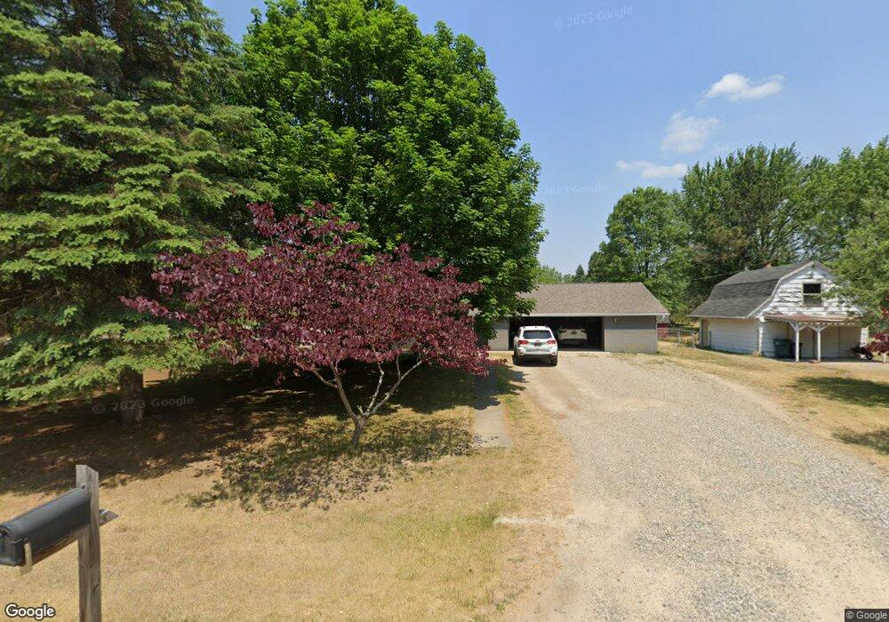
222 Delia St Lapeer, MI 48446
Estimated Value: $229,000 - $260,000
--
Bed
1
Bath
1,440
Sq Ft
$174/Sq Ft
Est. Value
About This Home
This home is located at 222 Delia St, Lapeer, MI 48446 and is currently estimated at $250,668, approximately $174 per square foot. 222 Delia St is a home located in Lapeer County with nearby schools including Rolland-Warner Middle School, Lapeer High School, and Chatfield School.
Ownership History
Date
Name
Owned For
Owner Type
Purchase Details
Closed on
Jul 13, 2020
Sold by
Moore William W
Bought by
Moore Carrie D
Current Estimated Value
Home Financials for this Owner
Home Financials are based on the most recent Mortgage that was taken out on this home.
Original Mortgage
$139,000
Outstanding Balance
$123,485
Interest Rate
3.2%
Mortgage Type
New Conventional
Estimated Equity
$127,183
Purchase Details
Closed on
Mar 30, 2006
Sold by
Viges Donald R and Viges Joyce
Bought by
Moore Carrie and Moore William
Create a Home Valuation Report for This Property
The Home Valuation Report is an in-depth analysis detailing your home's value as well as a comparison with similar homes in the area
Home Values in the Area
Average Home Value in this Area
Purchase History
| Date | Buyer | Sale Price | Title Company |
|---|---|---|---|
| Moore Carrie D | -- | Lct | |
| Moore Carrie | $134,500 | -- |
Source: Public Records
Mortgage History
| Date | Status | Borrower | Loan Amount |
|---|---|---|---|
| Open | Moore Carrie D | $139,000 |
Source: Public Records
Tax History Compared to Growth
Tax History
| Year | Tax Paid | Tax Assessment Tax Assessment Total Assessment is a certain percentage of the fair market value that is determined by local assessors to be the total taxable value of land and additions on the property. | Land | Improvement |
|---|---|---|---|---|
| 2025 | $1,327 | $104,300 | $0 | $0 |
| 2024 | $610 | $102,200 | $0 | $0 |
| 2023 | $582 | $93,600 | $0 | $0 |
| 2022 | $1,201 | $85,000 | $0 | $0 |
| 2021 | $1,094 | $79,700 | $0 | $0 |
| 2020 | $1,078 | $75,900 | $0 | $0 |
| 2019 | $1,102 | $72,300 | $0 | $0 |
| 2018 | $1,076 | $67,000 | $67,000 | $0 |
| 2017 | $1,056 | $64,400 | $0 | $0 |
| 2016 | $500 | $62,200 | $62,200 | $0 |
| 2015 | -- | $61,300 | $0 | $0 |
| 2014 | -- | $49,800 | $49,800 | $0 |
| 2013 | -- | $51,500 | $51,500 | $0 |
Source: Public Records
Map
Nearby Homes
- 1938 Mayfield Rd
- 305 Angle Rd
- 17 Riverview Dr
- 1829 Farnsworth Rd
- 121 Davis Lake Rd
- 00 N Saginaw St
- 1565 Heather Dr
- 00 Rulane Dr
- 1545 Rulane Dr
- 806 Davis Lake Rd
- 10.6 Acres Davis Lake Rd
- 2307 Millville Rd
- 396 Hickory Ln
- 2817 Valentine Rd
- 1636 Woodbridge Park Ave
- 2198 Russell Ln
- 1470 Lincoln St
- 0 N Lapeer Rd Unit 50132752
- 1440 Lincoln St
- 1423 Luxington Dr