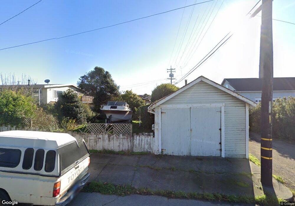
222 E Alder St Fort Bragg, CA 95437
Estimated Value: $333,499 - $554,000
Studio
--
Bath
--
Sq Ft
3,746
Sq Ft Lot
About This Home
This home is located at 222 E Alder St, Fort Bragg, CA 95437 and is currently estimated at $448,125. 222 E Alder St is a home located in Mendocino County with nearby schools including Fort Bragg High School and Three Rivers Charter School.
Ownership History
Date
Name
Owned For
Owner Type
Purchase Details
Closed on
Aug 3, 2020
Sold by
Frederick Matson John
Bought by
John F Matson 2020 Revocable L
Current Estimated Value
Purchase Details
Closed on
Jul 9, 2020
Sold by
Frederick Matson John
Bought by
John F Matson 2020 Revocable L
Purchase Details
Closed on
Apr 2, 2020
Sold by
Matson John F
Bought by
Matson John F
Purchase Details
Closed on
Nov 14, 2018
Sold by
Matson William C
Bought by
William C Matson Living Trust
Purchase Details
Closed on
Mar 4, 2009
Sold by
Matson William C
Bought by
Matson William C and Matson John F
Create a Home Valuation Report for This Property
The Home Valuation Report is an in-depth analysis detailing your home's value as well as a comparison with similar homes in the area
Home Values in the Area
Average Home Value in this Area
Purchase History
| Date | Buyer | Sale Price | Title Company |
|---|---|---|---|
| John F Matson 2020 Revocable L | -- | -- | |
| John F Matson 2020 Revocable L | -- | -- | |
| Matson John F | -- | None Available | |
| William C Matson Living Trust | -- | None Listed On Document | |
| Matson William C | -- | None Available |
Source: Public Records
Tax History
| Year | Tax Paid | Tax Assessment Tax Assessment Total Assessment is a certain percentage of the fair market value that is determined by local assessors to be the total taxable value of land and additions on the property. | Land | Improvement |
|---|---|---|---|---|
| 2025 | $623 | $40,742 | $18,105 | $22,637 |
| 2023 | $623 | $39,161 | $17,402 | $21,759 |
| 2022 | $621 | $38,394 | $17,061 | $21,333 |
| 2021 | $594 | $37,642 | $16,727 | $20,915 |
| 2020 | $585 | $37,302 | $16,579 | $20,723 |
| 2019 | $580 | $36,571 | $16,254 | $20,317 |
| 2018 | $574 | $35,853 | $15,935 | $19,918 |
| 2017 | $420 | $35,151 | $15,623 | $19,528 |
| 2016 | $412 | $34,462 | $15,317 | $19,145 |
| 2015 | $406 | $33,945 | $15,087 | $18,858 |
| 2014 | $393 | $33,279 | $14,791 | $18,488 |
Source: Public Records
Map
Nearby Homes
- 147 N Mcpherson St
- 210 S Mcpherson St
- 119 E Pine St
- 459 S Mcpherson St
- 399 Winifred St
- 1002 Cedar St
- 575 S Whipple St
- 131 Halsey Way
- 517 S Lincoln St
- 137 Olsen Ln
- 215 S Sanderson Way
- 104 Dana St
- 102 Dana St
- 227 Hocker Ln
- 19351 Del Mar Dr
- 19251 Monterey Ave
- 19701 Noyo Acres Dr
- 19400 Dorffi Rd
- 1261 N Main St
- 14875 Atkins
- 153 N Mcpherson St
- 248 E Alder St
- 237 E Alder St
- 143 N Mcpherson St
- 209 N Mcpherson St
- 136 N Franklin St
- 129 N Mcpherson St
- 219 N Mcpherson St
- 162 N Mcpherson St
- 200 N Mcpherson St
- 210 N Mcpherson St
- 150 N Mcpherson St
- 125 N Mcpherson St Unit 12
- 125 N Mcpherson St
- 142 N Mcpherson St Unit /134
- 142 N Mcpherson St
- 227 N Mcpherson St
- 134 N Mcpherson St
- 121 N Mcpherson St
- 120 N Franklin St
Your Personal Tour Guide
Ask me questions while you tour the home.