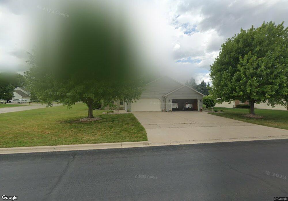
222 E River Dr Unit 224 de Pere, WI 54115
Estimated Value: $395,117 - $493,000
Studio
--
Bath
--
Sq Ft
19,123
Sq Ft Lot
About This Home
This home is located at 222 E River Dr Unit 224, de Pere, WI 54115 and is currently estimated at $453,029. 222 E River Dr Unit 224 is a home located in Brown County with nearby schools including Dickinson Elementary School, De Pere Middle School, and Foxview Intermediate School.
Ownership History
Date
Name
Owned For
Owner Type
Purchase Details
Closed on
Oct 14, 2025
Sold by
Segura Susan M and Segura Y
Bought by
Segura Patrick A and Segura Y
Current Estimated Value
Purchase Details
Closed on
Oct 22, 2011
Sold by
Novak Norbert
Bought by
Wood Family 1998 Ltd Partnership
Purchase Details
Closed on
Sep 22, 2005
Sold by
Entrust Enterprises Llc
Bought by
Segura Patrick A and Segura Susan M
Home Financials for this Owner
Home Financials are based on the most recent Mortgage that was taken out on this home.
Original Mortgage
$191,900
Interest Rate
6.01%
Mortgage Type
Fannie Mae Freddie Mac
Purchase Details
Closed on
Sep 27, 2002
Sold by
Halbrook Timothy J
Bought by
Entrust Enterprises Llc
Home Financials for this Owner
Home Financials are based on the most recent Mortgage that was taken out on this home.
Original Mortgage
$169,600
Interest Rate
6.25%
Create a Home Valuation Report for This Property
The Home Valuation Report is an in-depth analysis detailing your home's value as well as a comparison with similar homes in the area
Home Values in the Area
Average Home Value in this Area
Purchase History
| Date | Buyer | Sale Price | Title Company |
|---|---|---|---|
| Segura Patrick A | -- | -- | |
| Wood Family 1998 Ltd Partnership | $10,000 | Evans Title | |
| Segura Patrick A | $239,900 | Title Trends | |
| Entrust Enterprises Llc | $212,000 | Land Office Title Corp |
Source: Public Records
Mortgage History
| Date | Status | Borrower | Loan Amount |
|---|---|---|---|
| Previous Owner | Segura Patrick A | $191,900 | |
| Previous Owner | Entrust Enterprises Llc | $169,600 |
Source: Public Records
Tax History
| Year | Tax Paid | Tax Assessment Tax Assessment Total Assessment is a certain percentage of the fair market value that is determined by local assessors to be the total taxable value of land and additions on the property. | Land | Improvement |
|---|---|---|---|---|
| 2025 | $5,263 | $317,900 | $55,800 | $262,100 |
| 2024 | $4,946 | $317,900 | $55,800 | $262,100 |
| 2023 | $4,435 | $317,900 | $55,800 | $262,100 |
| 2022 | $4,016 | $317,900 | $55,800 | $262,100 |
| 2021 | $3,923 | $241,300 | $47,700 | $193,600 |
| 2020 | $3,867 | $241,300 | $47,700 | $193,600 |
| 2019 | $4,132 | $241,300 | $47,700 | $193,600 |
| 2018 | $4,216 | $241,300 | $47,700 | $193,600 |
| 2017 | $4,179 | $241,300 | $47,700 | $193,600 |
| 2016 | $4,150 | $203,100 | $43,300 | $159,800 |
| 2015 | $4,303 | $203,100 | $43,300 | $159,800 |
| 2014 | $4,929 | $203,100 | $43,300 | $159,800 |
| 2013 | $4,929 | $203,100 | $43,300 | $159,800 |
Source: Public Records
Map
Nearby Homes
- 253 Desplaine Rd Unit 255
- 118 E River Dr Unit 120
- 1960 Charles St
- 654 W Rock River Cir
- 1955 W Baraboo Cir
- 657 Black Earth Dr
- 124 Shelley Ln
- 658 Black Earth Dr
- 1941 Horseshoe Ln
- 1871 Ledgeview Rd
- 804 Longview Ave
- 553 Gwynn St
- 2332 Oak Ridge Cir
- 2080 W Higgins Hill
- 2011 Whistling Swan Cir
- 253 Scout Way
- 3642 Glenbrooke Ln
- 2087 Swanstone Cir
- 3950 Agatha Christie Ave
- 3959 Agatha Christie Ave
- 214 E River Dr Unit 216
- 235 Cavil Way
- 221 E River Dr
- 0 E River Dr
- 217 Cavil Way Unit 219
- 252 Cavil Way
- 206 E River Dr Unit 208
- 217 E River Dr
- 215 E River Dr Unit 217
- 209 Cavil Way
- 207 E River Dr
- 242 Cavil Way Unit 244
- 242 Cavil Way
- 200 E River Dr Unit 202
- 203 Cavil Way Unit 205
- 201 E River Dr Unit 203
- 226 Cavil Way Unit 228
- 218 Cavil Way
- 234 Cavil Way Unit 236
- 212 Cavil Way
Your Personal Tour Guide
Ask me questions while you tour the home.