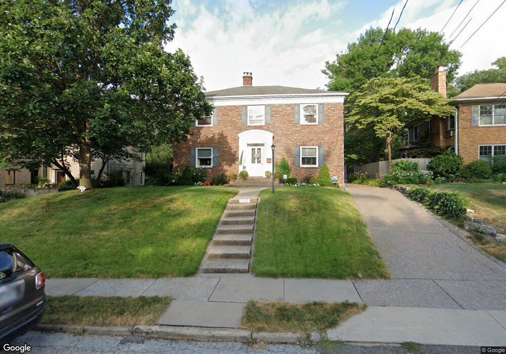
222 Hillcrest Ave Davenport, IA 52803
East End NeighborhoodEstimated Value: $350,000 - $386,000
4
Beds
2
Baths
2,524
Sq Ft
$147/Sq Ft
Est. Value
About This Home
This home is located at 222 Hillcrest Ave, Davenport, IA 52803 and is currently estimated at $371,843, approximately $147 per square foot. 222 Hillcrest Ave is a home located in Scott County with nearby schools including McKinley Elementary School, Sudlow Intermediate School, and Central High School.
Ownership History
Date
Name
Owned For
Owner Type
Purchase Details
Closed on
Mar 28, 2012
Sold by
White Michael J and White Angela Marie
Bought by
Michael J White Revocable Living Trust
Current Estimated Value
Purchase Details
Closed on
Jun 9, 2011
Sold by
White Michael J
Bought by
White Michael J and White Angela Marie
Create a Home Valuation Report for This Property
The Home Valuation Report is an in-depth analysis detailing your home's value as well as a comparison with similar homes in the area
Home Values in the Area
Average Home Value in this Area
Purchase History
| Date | Buyer | Sale Price | Title Company |
|---|---|---|---|
| Michael J White Revocable Living Trust | -- | None Available | |
| White Michael J | -- | None Available |
Source: Public Records
Tax History Compared to Growth
Tax History
| Year | Tax Paid | Tax Assessment Tax Assessment Total Assessment is a certain percentage of the fair market value that is determined by local assessors to be the total taxable value of land and additions on the property. | Land | Improvement |
|---|---|---|---|---|
| 2025 | $6,028 | $372,780 | $69,560 | $303,220 |
| 2024 | $5,874 | $355,940 | $69,560 | $286,380 |
| 2023 | $6,602 | $355,940 | $69,560 | $286,380 |
| 2022 | $6,448 | $321,310 | $56,920 | $264,390 |
| 2021 | $6,448 | $312,910 | $56,920 | $255,990 |
| 2020 | $5,986 | $287,730 | $56,920 | $230,810 |
| 2019 | $5,956 | $277,240 | $56,920 | $220,320 |
| 2018 | $5,594 | $277,240 | $56,920 | $220,320 |
| 2017 | $1,465 | $266,740 | $56,920 | $209,820 |
| 2016 | $5,578 | $266,740 | $0 | $0 |
| 2015 | $5,578 | $255,650 | $0 | $0 |
| 2014 | $5,410 | $255,650 | $0 | $0 |
| 2013 | $5,312 | $0 | $0 | $0 |
| 2012 | -- | $250,370 | $53,470 | $196,900 |
Source: Public Records
Map
Nearby Homes
- 49 Kenwood Ave
- 46 Hillcrest Ave
- 123 Fernwood Ave
- 1717 Kenwood Ave
- 1704 Jersey Ridge Rd
- 1806 Forest Rd
- 2222 E 13th St
- 2905 Middle Rd
- 102 Forest Rd
- 1803 Belle Ave
- 1815 Belle Ave
- 1504 Christie St
- 2122 E 12th St
- 1619 Christie St
- 1709 Christie St
- 2704 E High St
- 2950 E 18th St
- 1520 Mound St
- 204 Greenwood Ave
- 229 Brown St
- 226 Hillcrest Ave
- 220 Hillcrest Ave
- 323 Mcclellan Blvd
- 232 Hillcrest Ave
- 317 Mcclellan Blvd
- 325 Mcclellan Blvd
- 236 Hillcrest Ave
- 223 Hillcrest Ave
- 217 Hillcrest Ave
- 212 Hillcrest Ave
- 227 Hillcrest Ave
- 240 Hillcrest Ave
- 327 Mcclellan Blvd
- 229 Hillcrest Ave
- 208 Hillcrest Ave
- 209 Hillcrest Ave
- 209 Hillcrest St
- 319 Ridgewood Ave
- 244 Hillcrest Ave
- 310 Mcclellan Blvd