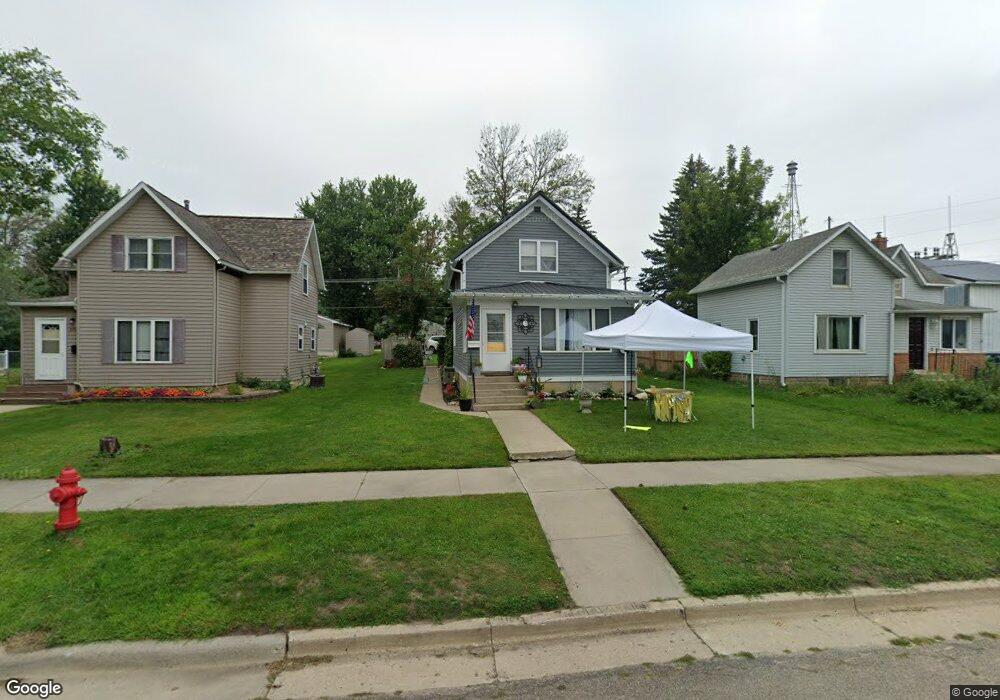
222 Langford Ave Kenyon, MN 55946
Estimated Value: $165,515 - $225,000
3
Beds
2
Baths
1,205
Sq Ft
$159/Sq Ft
Est. Value
About This Home
This home is located at 222 Langford Ave, Kenyon, MN 55946 and is currently estimated at $191,629, approximately $159 per square foot. 222 Langford Ave is a home located in Goodhue County with nearby schools including Kenyon-Wanamingo Elementary School, Kenyon-Wanamingo Middle School, and Kenyon-Wanamingo Senior High School.
Ownership History
Date
Name
Owned For
Owner Type
Purchase Details
Closed on
Aug 26, 2021
Sold by
Amundson Darvin
Bought by
Nystuen Richard and Nystuen Kristine
Current Estimated Value
Purchase Details
Closed on
Feb 18, 2021
Sold by
Heineman Christopher and Heineman Joan E
Bought by
Amundson Darvin
Purchase Details
Closed on
Nov 18, 2010
Sold by
Hsbc Mortgage Services Inc
Bought by
Heineman Christopher
Purchase Details
Closed on
Aug 1, 2002
Sold by
Aase Bruce O
Bought by
Nichols Jimmie L
Purchase Details
Closed on
Aug 25, 1999
Sold by
Aase Evelyn
Bought by
Aase Bruce O
Create a Home Valuation Report for This Property
The Home Valuation Report is an in-depth analysis detailing your home's value as well as a comparison with similar homes in the area
Purchase History
| Date | Buyer | Sale Price | Title Company |
|---|---|---|---|
| Nystuen Richard | $140,000 | None Available | |
| Amundson Darvin | $36,751 | North American Title Company | |
| Heineman Christopher | $21,000 | -- | |
| Nichols Jimmie L | $96,000 | -- | |
| Aase Bruce O | $65,000 | -- | |
| Amundson Darvin Darvin | $36,800 | -- |
Source: Public Records
Tax History
| Year | Tax Paid | Tax Assessment Tax Assessment Total Assessment is a certain percentage of the fair market value that is determined by local assessors to be the total taxable value of land and additions on the property. | Land | Improvement |
|---|---|---|---|---|
| 2025 | $1,430 | $127,900 | $32,200 | $95,700 |
| 2024 | -- | $125,100 | $32,200 | $92,900 |
| 2023 | $982 | $117,700 | $32,200 | $85,500 |
| 2022 | $728 | $89,000 | $29,600 | $59,400 |
| 2021 | $1,012 | $61,500 | $27,000 | $34,500 |
| 2020 | $1,286 | $60,600 | $27,000 | $33,600 |
| 2019 | $836 | $60,800 | $27,000 | $33,800 |
| 2018 | $806 | $46,300 | $18,000 | $28,300 |
| 2017 | $768 | $45,300 | $18,000 | $27,300 |
| 2016 | $720 | $43,500 | $18,000 | $25,500 |
| 2015 | $706 | $40,500 | $18,000 | $22,500 |
| 2014 | -- | $38,000 | $15,500 | $22,500 |
Source: Public Records
Map
Nearby Homes
- 218 Langford Ave
- 226 Langford Ave
- 302 Langford Ave
- 306 Langford Ave
- 223 Red Wing Ave
- 217 Red Wing Ave
- 227 Red Wing Ave
- 310 Langford Ave
- 213 Red Wing Ave
- 223 Langford Ave
- 301 Red Wing Ave
- 303 Langford Ave
- 305 Red Wing Ave
- 307 Langford Ave
- 309 Red Wing Ave
- 809 Lawn St
- 313 Red Wing Ave
- 322 Langford Ave
- 718 Home St
- 804 Home St
Your Personal Tour Guide
Ask me questions while you tour the home.