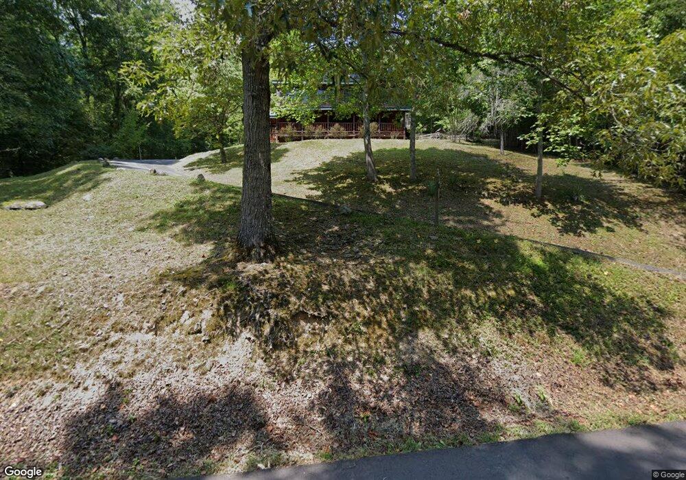
222 Long Branch Rd Townsend, TN 37882
Estimated Value: $600,802 - $774,000
--
Bed
4
Baths
2,074
Sq Ft
$330/Sq Ft
Est. Value
About This Home
This home is located at 222 Long Branch Rd, Townsend, TN 37882 and is currently estimated at $683,701, approximately $329 per square foot. 222 Long Branch Rd is a home located in Blount County with nearby schools including Townsend Elementary School, Heritage Middle School, and Heritage High School.
Ownership History
Date
Name
Owned For
Owner Type
Purchase Details
Closed on
May 20, 2003
Sold by
Hodge Leonard E
Bought by
Barger Billy J and Barger Darlene
Current Estimated Value
Purchase Details
Closed on
Sep 17, 1999
Bought by
Hodge Rockey Lee and Hodge Selena
Purchase Details
Closed on
Dec 12, 1988
Bought by
Hodge Leonard
Purchase Details
Closed on
Dec 8, 1977
Bought by
Hodge Carl L and Hodge Faye
Create a Home Valuation Report for This Property
The Home Valuation Report is an in-depth analysis detailing your home's value as well as a comparison with similar homes in the area
Home Values in the Area
Average Home Value in this Area
Purchase History
| Date | Buyer | Sale Price | Title Company |
|---|---|---|---|
| Barger Billy J | $38,000 | -- | |
| Hodge Rockey Lee | $10,000 | -- | |
| Hodge Leonard | $5,000 | -- | |
| Hodge Carl L | -- | -- |
Source: Public Records
Tax History Compared to Growth
Tax History
| Year | Tax Paid | Tax Assessment Tax Assessment Total Assessment is a certain percentage of the fair market value that is determined by local assessors to be the total taxable value of land and additions on the property. | Land | Improvement |
|---|---|---|---|---|
| 2025 | $1,937 | $121,825 | $0 | $0 |
| 2024 | $1,937 | $121,825 | $18,000 | $103,825 |
| 2023 | $1,937 | $121,825 | $18,000 | $103,825 |
| 2022 | $1,704 | $69,000 | $9,000 | $60,000 |
| 2021 | $1,704 | $69,000 | $9,000 | $60,000 |
| 2020 | $1,704 | $69,000 | $9,000 | $60,000 |
| 2019 | $1,704 | $69,000 | $9,000 | $60,000 |
| 2018 | $1,639 | $66,375 | $10,000 | $56,375 |
| 2017 | $1,639 | $66,375 | $10,000 | $56,375 |
| 2016 | $1,639 | $66,375 | $10,000 | $56,375 |
| 2015 | $1,427 | $66,375 | $10,000 | $56,375 |
| 2014 | $1,478 | $66,375 | $10,000 | $56,375 |
| 2013 | $1,478 | $68,725 | $0 | $0 |
Source: Public Records
Map
Nearby Homes
- 483 Chetola Trail
- 165 Anatole Pass
- 491 Chetola Trail
- 832 Christy Ln
- 822 Christy Ln
- 514 Chetola Tr
- 817 Christy Ln
- 103 Long Branch Rd
- 453 Mount John Loop
- 1005 Laurel Rd
- 6831 Old Walland Hwy
- 6806 Walnut Loop Rd
- 454 Mt John Luke Rd
- 117 Craig Cove
- 215 Lovers Ln
- 0 Ace Gap Rd Unit 1300925
- 716 Tanasi Trail
- 134 Craig Cove
- 106 Sunshine Way
- 132 Cutter Gap Rd
- 144 Anatole Pass
- 223 Long Branch Rd
- 227 Long Branch Rd
- 218 Long Branch Rd
- Lot 58 Anatole Pass
- 150 Anatole Pass
- 138 Anatole Pass
- 236 Long Branch Rd
- 229 Long Branch Rd
- 241 Long Branch Rd
- 240 Long Branch Rd
- 156 Anatole Pass
- Lot 3 Long Branch Rd
- Lot 4 Long Branch Rd
- 108 Long Branch Rd
- 145 Anatole Pass
- 244 Long Branch Rd
- 160 Anatole Pass
- 139 Anatole Pass
- 445 Chetola Trail