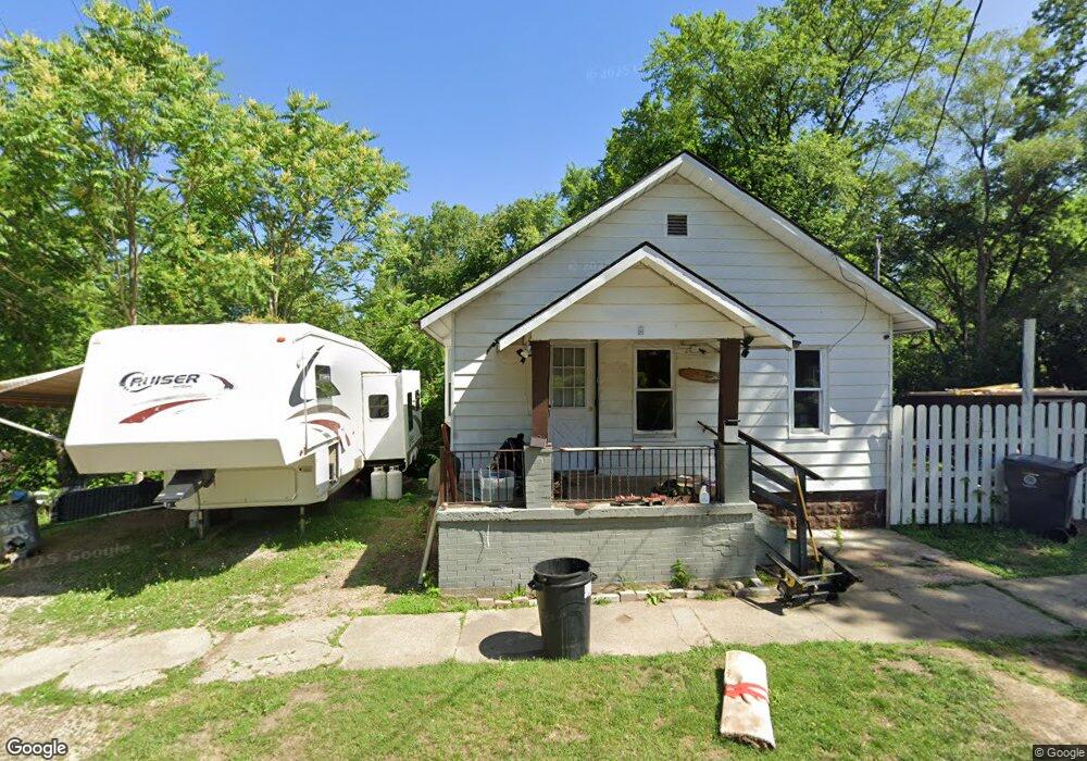
222 Monroe St Flint, MI 48503
Southside Business District NeighborhoodEstimated Value: $27,000 - $52,000
2
Beds
1
Bath
668
Sq Ft
$62/Sq Ft
Est. Value
About This Home
This home is located at 222 Monroe St, Flint, MI 48503 and is currently estimated at $41,734, approximately $62 per square foot. 222 Monroe St is a home located in Genesee County with nearby schools including Freeman Elementary School, Flint Southwestern Classical Academy, and International Academy of Flint (K-12).
Ownership History
Date
Name
Owned For
Owner Type
Purchase Details
Closed on
Oct 19, 2010
Sold by
Piggott Arthur L
Bought by
Piggott Lawrence
Current Estimated Value
Purchase Details
Closed on
Aug 3, 2006
Sold by
Piggott Elizabeth
Bought by
Piggott Arthur and Piggott Daisy E
Purchase Details
Closed on
Jun 3, 2006
Sold by
Piggott Arthur L and Piggott Daisy E
Bought by
Piggott Lawrence A
Home Financials for this Owner
Home Financials are based on the most recent Mortgage that was taken out on this home.
Original Mortgage
$10,000
Interest Rate
10%
Mortgage Type
Seller Take Back
Purchase Details
Closed on
Apr 3, 2002
Sold by
Mattson Ronald
Bought by
Bankers Trust Company Of California Na and Indymac Bank Fsb
Purchase Details
Closed on
Jul 2, 1993
Sold by
Kakoska F
Bought by
Mattson Ronald
Create a Home Valuation Report for This Property
The Home Valuation Report is an in-depth analysis detailing your home's value as well as a comparison with similar homes in the area
Home Values in the Area
Average Home Value in this Area
Purchase History
| Date | Buyer | Sale Price | Title Company |
|---|---|---|---|
| Piggott Lawrence | $10,000 | Cislo Title Company | |
| Piggott Arthur | $10,000 | First American Title Ins Co | |
| Piggott Lawrence A | $10,000 | First American Title Ins Co | |
| Bankers Trust Company Of California Na | $19,800 | -- | |
| Mattson Ronald | $8,000 | -- |
Source: Public Records
Mortgage History
| Date | Status | Borrower | Loan Amount |
|---|---|---|---|
| Previous Owner | Piggott Lawrence A | $10,000 |
Source: Public Records
Tax History
| Year | Tax Paid | Tax Assessment Tax Assessment Total Assessment is a certain percentage of the fair market value that is determined by local assessors to be the total taxable value of land and additions on the property. | Land | Improvement |
|---|---|---|---|---|
| 2025 | $460 | $9,400 | $0 | $0 |
| 2024 | $435 | $10,200 | $0 | $0 |
| 2023 | $438 | $9,100 | $0 | $0 |
| 2022 | $0 | $5,700 | $0 | $0 |
| 2021 | $443 | $4,300 | $0 | $0 |
| 2020 | $418 | $5,400 | $0 | $0 |
| 2019 | $419 | $4,200 | $0 | $0 |
| 2018 | $378 | $3,700 | $0 | $0 |
| 2017 | $372 | $0 | $0 | $0 |
| 2016 | $371 | $0 | $0 | $0 |
| 2015 | -- | $0 | $0 | $0 |
| 2014 | -- | $0 | $0 | $0 |
| 2012 | -- | $4,000 | $0 | $0 |
Source: Public Records
Map
Nearby Homes
- 149 E Tobias St
- 149 E Linsey Blvd
- 133 E Oakley St
- 636 Partridge St
- 517 Morley Ave
- 420 Pingree Ave
- 2050 Ferris Ave
- 1517 Tacoma St
- 1511 Tacoma St
- 2224 Crocker Ave
- 812 Remington Ave
- 3218 Collingwood Pkwy
- 213 E Lakeview Ave
- 741 Barrie Ave
- 834 Remington Ave
- 115 E Livingston Dr
- 2221 Howard Ave
- 3214 S Grand Traverse St
- 2010 Crocker Ave
- 1720 Park St