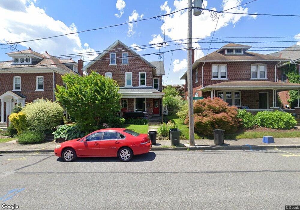
222 N 4th St Emmaus, PA 18049
Estimated Value: $249,000 - $280,000
3
Beds
2
Baths
1,440
Sq Ft
$183/Sq Ft
Est. Value
About This Home
This home is located at 222 N 4th St, Emmaus, PA 18049 and is currently estimated at $262,806, approximately $182 per square foot. 222 N 4th St is a home located in Lehigh County with nearby schools including Lincoln Elementary School, Lower Macungie Middle School, and Emmaus High School.
Ownership History
Date
Name
Owned For
Owner Type
Purchase Details
Closed on
Aug 17, 2005
Sold by
Brown Robert C and Brown Deborah E
Bought by
Brown Robert C
Current Estimated Value
Home Financials for this Owner
Home Financials are based on the most recent Mortgage that was taken out on this home.
Original Mortgage
$130,500
Outstanding Balance
$82,424
Interest Rate
8.99%
Mortgage Type
Stand Alone Refi Refinance Of Original Loan
Estimated Equity
$180,382
Purchase Details
Closed on
Jan 22, 1987
Sold by
Crossley Scott J and Berry Wendy L
Bought by
Kowalchik Claire
Purchase Details
Closed on
Mar 28, 1984
Sold by
Sanders Charles B and Sanders Ana M
Bought by
Crossley Scott J and Berry Wendy L
Purchase Details
Closed on
Oct 1, 1980
Bought by
Sanders Charles B and Sanders Ana M
Create a Home Valuation Report for This Property
The Home Valuation Report is an in-depth analysis detailing your home's value as well as a comparison with similar homes in the area
Home Values in the Area
Average Home Value in this Area
Purchase History
| Date | Buyer | Sale Price | Title Company |
|---|---|---|---|
| Brown Robert C | -- | None Available | |
| Kowalchik Claire | $62,000 | -- | |
| Crossley Scott J | $47,500 | -- | |
| Sanders Charles B | $44,700 | -- |
Source: Public Records
Mortgage History
| Date | Status | Borrower | Loan Amount |
|---|---|---|---|
| Open | Brown Robert C | $130,500 |
Source: Public Records
Tax History Compared to Growth
Tax History
| Year | Tax Paid | Tax Assessment Tax Assessment Total Assessment is a certain percentage of the fair market value that is determined by local assessors to be the total taxable value of land and additions on the property. | Land | Improvement |
|---|---|---|---|---|
| 2025 | $4,449 | $126,300 | $11,900 | $114,400 |
| 2024 | $4,075 | $126,300 | $11,900 | $114,400 |
| 2023 | $3,996 | $126,300 | $11,900 | $114,400 |
| 2022 | $3,864 | $126,300 | $114,400 | $11,900 |
| 2021 | $3,767 | $126,300 | $11,900 | $114,400 |
| 2020 | $3,735 | $126,300 | $11,900 | $114,400 |
| 2019 | $3,635 | $126,300 | $11,900 | $114,400 |
| 2018 | $3,498 | $126,300 | $11,900 | $114,400 |
| 2017 | $3,390 | $126,300 | $11,900 | $114,400 |
| 2016 | -- | $126,300 | $11,900 | $114,400 |
| 2015 | -- | $126,300 | $11,900 | $114,400 |
| 2014 | -- | $126,300 | $11,900 | $114,400 |
Source: Public Records
Map
Nearby Homes
- 120 N 2nd St
- 118 N 2nd St
- 543 Long St
- 569 Chestnut St Unit 571
- 657 Walnut St
- 101 E George St
- 618 Broad St
- 659 Broad St
- 521 Wood St
- 558 Beechwood St
- 3601 Country Club Rd
- 529 Dalton St Unit 539
- 540 E Greenleaf St
- 4109 Eveningstar Rd
- 3430 Gentlewind Way Unit IC 109
- 635 E Berger St
- 339 Delong Ave Unit 343
- 4088 Eveningstar Rd
- 97 Chestnut Hill Rd
- 340 Chestnut Hill Rd