222 Newport Dr Peachtree City, GA 30269
Estimated Value: $956,000 - $1,094,000
--
Bed
--
Bath
2,749
Sq Ft
$372/Sq Ft
Est. Value
About This Home
This home is located at 222 Newport Dr, Peachtree City, GA 30269 and is currently estimated at $1,021,919, approximately $371 per square foot. 222 Newport Dr is a home located in Fayette County with nearby schools including Kedron Elementary School, Booth Middle School, and McIntosh High School.
Ownership History
Date
Name
Owned For
Owner Type
Purchase Details
Closed on
May 26, 2000
Sold by
Gary Alford & Associates Inc
Bought by
Yates Steven K and Yates Gayle R
Current Estimated Value
Home Financials for this Owner
Home Financials are based on the most recent Mortgage that was taken out on this home.
Original Mortgage
$302,900
Outstanding Balance
$115,914
Interest Rate
7.63%
Mortgage Type
New Conventional
Estimated Equity
$906,005
Create a Home Valuation Report for This Property
The Home Valuation Report is an in-depth analysis detailing your home's value as well as a comparison with similar homes in the area
Home Values in the Area
Average Home Value in this Area
Purchase History
| Date | Buyer | Sale Price | Title Company |
|---|---|---|---|
| Yates Steven K | $59,900 | -- |
Source: Public Records
Mortgage History
| Date | Status | Borrower | Loan Amount |
|---|---|---|---|
| Open | Yates Steven K | $302,900 |
Source: Public Records
Tax History Compared to Growth
Tax History
| Year | Tax Paid | Tax Assessment Tax Assessment Total Assessment is a certain percentage of the fair market value that is determined by local assessors to be the total taxable value of land and additions on the property. | Land | Improvement |
|---|---|---|---|---|
| 2024 | $3,532 | $355,388 | $80,000 | $275,388 |
| 2023 | $3,316 | $342,000 | $80,000 | $262,000 |
| 2022 | $3,415 | $334,080 | $76,000 | $258,080 |
| 2021 | $2,888 | $282,760 | $76,000 | $206,760 |
| 2020 | $2,864 | $269,320 | $76,000 | $193,320 |
| 2019 | $2,795 | $260,080 | $76,000 | $184,080 |
| 2018 | $2,689 | $246,360 | $76,000 | $170,360 |
| 2017 | $2,973 | $267,000 | $76,000 | $191,000 |
| 2016 | $5,722 | $252,720 | $76,000 | $176,720 |
| 2015 | $5,410 | $235,120 | $76,000 | $159,120 |
| 2014 | $5,256 | $223,720 | $76,000 | $147,720 |
| 2013 | -- | $220,160 | $0 | $0 |
Source: Public Records
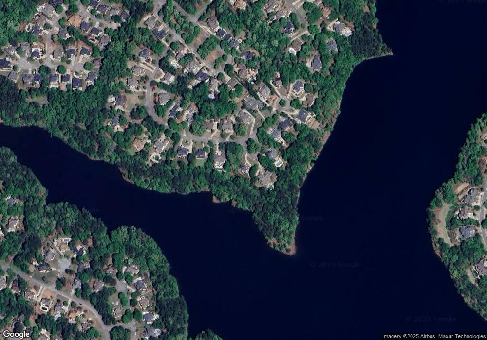
Map
Nearby Homes
- 718 Avalon Way
- 102 Passage Point
- 133 Sea Island Dr
- 132 Sea Island Dr
- 504 Telfair Park
- 301 Abercorn Square
- 117 N Cove Dr
- 109 Peninsula Dr
- 100 Smokerise Trace
- 512 Las Brasis Ct
- 206 Las Brasis Ct
- 203 Birkhill
- 404 Las Brasis Ct
- 107 Rolling Green
- 606 Wingspread
- 134 Mellington Ln
- 112 Bridgewater Dr
- 522 Golf View Dr
- 200 Doe Run
- 522 Golfview Dr
- 224 Newport Dr
- 220 Newport Dr
- 226 Newport Dr
- 0 Newport Dr Unit 8577182
- 0 Newport Dr Unit 8552474
- 0 Newport Dr Unit 8483091
- 0 Newport Dr Unit 8455908
- 0 Newport Dr Unit 8701546
- 0 Newport Dr Unit 8649095
- 0 Newport Dr Unit 8546555
- 0 Newport Dr Unit 8866435
- 0 Newport Dr Unit 8995656
- 0 Newport Dr Unit 9017806
- 0 Newport Dr Unit 9051788
- 0 Newport Dr Unit 3047496
- 0 Newport Dr Unit 3140835
- 0 Newport Dr Unit 3174375
- 0 Newport Dr Unit 7251390
- 0 Newport Dr Unit 7455686
- 0 Newport Dr Unit 7480063