222 Paint Rock Rd Kingston, TN 37763
Estimated Value: $163,000 - $333,000
--
Bed
3
Baths
1,449
Sq Ft
$159/Sq Ft
Est. Value
About This Home
This home is located at 222 Paint Rock Rd, Kingston, TN 37763 and is currently estimated at $231,069, approximately $159 per square foot. 222 Paint Rock Rd is a home located in Roane County with nearby schools including Midway Elementary School, Kingston Elementary School, and Midtown Elementary School.
Ownership History
Date
Name
Owned For
Owner Type
Purchase Details
Closed on
May 22, 2025
Sold by
Trust Agreement Of James Douglas Brown A and Nelle Daniel
Bought by
Settlemyer Kent S and Settlemyer Akene B
Current Estimated Value
Purchase Details
Closed on
Feb 26, 2025
Sold by
James Douglas Brown and Nila Jeanette
Bought by
Settlemeyer Akene B and Settlemeyer Kent
Purchase Details
Closed on
Jul 13, 2004
Sold by
Douglas Brown J
Bought by
Douglas Brown James
Purchase Details
Closed on
May 26, 1995
Create a Home Valuation Report for This Property
The Home Valuation Report is an in-depth analysis detailing your home's value as well as a comparison with similar homes in the area
Home Values in the Area
Average Home Value in this Area
Purchase History
| Date | Buyer | Sale Price | Title Company |
|---|---|---|---|
| Settlemyer Kent S | -- | None Listed On Document | |
| Settlemyer Kent S | -- | None Listed On Document | |
| Settlemeyer Akene B | -- | None Listed On Document | |
| Douglas Brown James | -- | -- | |
| -- | $107,000 | -- |
Source: Public Records
Tax History Compared to Growth
Tax History
| Year | Tax Paid | Tax Assessment Tax Assessment Total Assessment is a certain percentage of the fair market value that is determined by local assessors to be the total taxable value of land and additions on the property. | Land | Improvement |
|---|---|---|---|---|
| 2024 | $840 | $35,000 | $3,100 | $31,900 |
| 2023 | $840 | $35,000 | $3,100 | $31,900 |
| 2022 | $840 | $35,000 | $3,100 | $31,900 |
| 2021 | $865 | $35,000 | $3,100 | $31,900 |
| 2020 | $865 | $35,000 | $3,100 | $31,900 |
| 2019 | $862 | $32,100 | $3,325 | $28,775 |
| 2018 | $827 | $32,100 | $3,325 | $28,775 |
| 2017 | $827 | $32,100 | $3,325 | $28,775 |
| 2016 | $827 | $32,100 | $3,325 | $28,775 |
| 2015 | $827 | $32,100 | $3,325 | $28,775 |
| 2013 | -- | $32,225 | $3,600 | $28,625 |
Source: Public Records
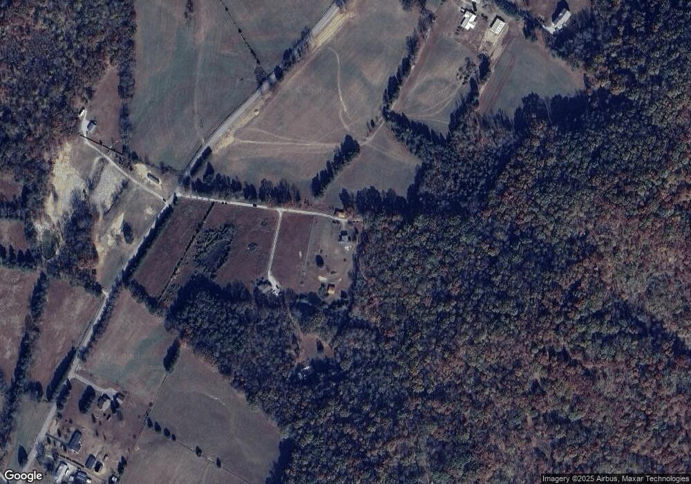
Map
Nearby Homes
- 119 Arnold Rd
- 0 High Ridge Rd
- 114 Viars Rd
- 436 Cedar Grove Rd
- 471 Cedar Grove Rd
- 140 Britton Rd
- 150 Cedar Grove Rd
- 598 Myers Rd
- 365 Pattie Gap Rd
- 224 Pattie Gap Rd
- 0 Cedar Grove Rd
- 1055 Laurel Bluff Rd
- 39600 Highway 72 N
- 39600 Tennessee 72
- 2135 Stockton Valley Rd
- 137 Dogtown Rd
- 235 Ranch Rd
- 1296 Paint Rock Rd
- 3475 Foshee Rd
- 3493 Foshee Rd
- 216 Paint Rock Rd
- 209 Paint Rock Rd
- 298 Paint Rock Rd
- 170 Paint Rock Rd
- 300 Paint Rock Rd
- 162 Paint Rock Rd
- 156 Paint Rock Rd
- 140 Paint Rock Rd
- 136 Paint Rock Rd
- 189 Paint Rock Rd
- 139 Evans Rd
- 201 Evans Rd
- 314 Paint Rock Rd
- 130 Paint Rock Rd
- 324 Paint Rock Rd
- 177 Myrtle Ward Rd
- 167 Myrtle Ward Rd
- 152 Evans Rd
- 344 Paint Rock Rd
- 144 Evans Rd