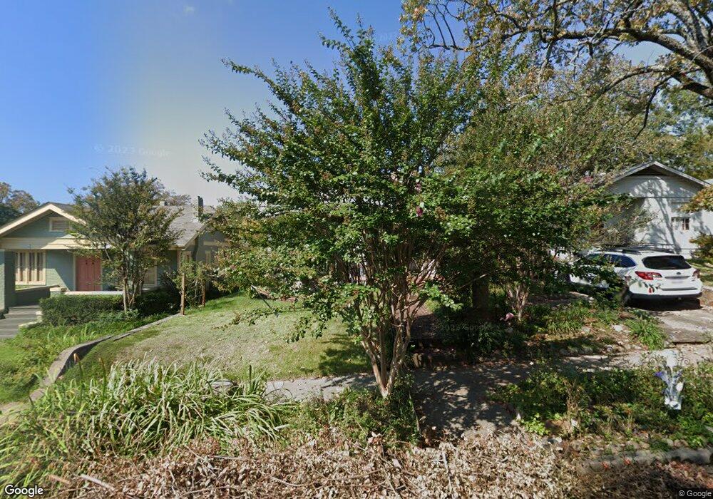
222 Rosetta St Little Rock, AR 72205
Hillcrest NeighborhoodEstimated Value: $261,000 - $294,000
--
Bed
1
Bath
1,689
Sq Ft
$165/Sq Ft
Est. Value
About This Home
This home is located at 222 Rosetta St, Little Rock, AR 72205 and is currently estimated at $278,080, approximately $164 per square foot. 222 Rosetta St is a home located in Pulaski County with nearby schools including M.L. King Elementary School, Dunbar Magnet Middle School, and Central High School.
Ownership History
Date
Name
Owned For
Owner Type
Purchase Details
Closed on
May 5, 2017
Sold by
Tharp Ellis and Tharp Brenda J
Bought by
Danforth Chris P and Danforth Laura E
Current Estimated Value
Home Financials for this Owner
Home Financials are based on the most recent Mortgage that was taken out on this home.
Original Mortgage
$159,200
Outstanding Balance
$132,224
Interest Rate
4.14%
Mortgage Type
New Conventional
Estimated Equity
$145,856
Purchase Details
Closed on
Feb 26, 1999
Sold by
Hart Donald A and Hart Karen M
Bought by
Tharp Ellis and Tharp Brenda J
Home Financials for this Owner
Home Financials are based on the most recent Mortgage that was taken out on this home.
Original Mortgage
$84,918
Interest Rate
6.83%
Mortgage Type
FHA
Create a Home Valuation Report for This Property
The Home Valuation Report is an in-depth analysis detailing your home's value as well as a comparison with similar homes in the area
Home Values in the Area
Average Home Value in this Area
Purchase History
| Date | Buyer | Sale Price | Title Company |
|---|---|---|---|
| Danforth Chris P | $199,000 | First National Title Company | |
| Tharp Ellis | $85,000 | First National Title Company |
Source: Public Records
Mortgage History
| Date | Status | Borrower | Loan Amount |
|---|---|---|---|
| Open | Danforth Chris P | $159,200 | |
| Previous Owner | Tharp Ellis | $84,918 |
Source: Public Records
Tax History Compared to Growth
Tax History
| Year | Tax Paid | Tax Assessment Tax Assessment Total Assessment is a certain percentage of the fair market value that is determined by local assessors to be the total taxable value of land and additions on the property. | Land | Improvement |
|---|---|---|---|---|
| 2025 | $2,871 | $47,394 | $12,000 | $35,394 |
| 2024 | $2,631 | $47,394 | $12,000 | $35,394 |
| 2023 | $2,631 | $47,394 | $12,000 | $35,394 |
| 2022 | $2,512 | $47,394 | $12,000 | $35,394 |
| 2021 | $2,409 | $34,170 | $5,300 | $28,870 |
| 2020 | $2,017 | $34,170 | $5,300 | $28,870 |
| 2019 | $2,017 | $34,170 | $5,300 | $28,870 |
| 2018 | $2,392 | $34,170 | $5,300 | $28,870 |
| 2017 | $1,117 | $34,170 | $5,300 | $28,870 |
| 2016 | $1,397 | $30,560 | $3,900 | $26,660 |
| 2015 | $1,680 | $23,962 | $3,900 | $20,062 |
| 2014 | $1,680 | $21,962 | $3,900 | $18,062 |
Source: Public Records
Map
Nearby Homes
- 102 Midland St
- 312 Valmar St
- 400 S Booker St
- 305 Booker St
- 306 S Woodrow St
- 220 S Valentine St
- 1109 Kavanaugh Blvd
- 3212 Lamar St
- 121 N Woodrow St
- 1116 Kavanaugh Blvd
- 206 Linwood Ct
- 2717 W Capitol Ave
- 310 S Oak St
- 1204 Kavanaugh Blvd
- 301 N Woodrow St
- 605 S Oak St
- 520 S Oak St
- 507 Uams Blvd
- 3407 Maryland Ave
- 118 N Pine St