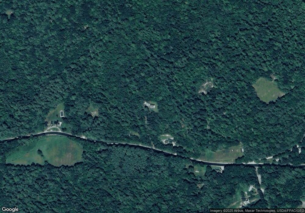
Estimated Value: $262,000 - $402,000
3
Beds
2
Baths
1,638
Sq Ft
$206/Sq Ft
Est. Value
About This Home
This home is located at 222 Sebago Rd, Hiram, ME 04041 and is currently estimated at $337,753, approximately $206 per square foot. 222 Sebago Rd is a home.
Ownership History
Date
Name
Owned For
Owner Type
Purchase Details
Closed on
Dec 13, 2005
Sold by
Parsons Michael J
Bought by
Beaulieu Jason D and Beaulieu Heidi A
Current Estimated Value
Purchase Details
Closed on
Jun 21, 2005
Sold by
Parsons Michael J
Bought by
Beaulieu Jason D and Beaulieu Heidi A
Home Financials for this Owner
Home Financials are based on the most recent Mortgage that was taken out on this home.
Original Mortgage
$150,300
Interest Rate
5.78%
Mortgage Type
Commercial
Purchase Details
Closed on
Mar 31, 2005
Sold by
Deuce Const Co
Bought by
Parsons Michael J
Home Financials for this Owner
Home Financials are based on the most recent Mortgage that was taken out on this home.
Original Mortgage
$128,000
Interest Rate
5.61%
Mortgage Type
Commercial
Create a Home Valuation Report for This Property
The Home Valuation Report is an in-depth analysis detailing your home's value as well as a comparison with similar homes in the area
Home Values in the Area
Average Home Value in this Area
Purchase History
| Date | Buyer | Sale Price | Title Company |
|---|---|---|---|
| Beaulieu Jason D | -- | -- | |
| Beaulieu Jason D | -- | -- | |
| Parsons Michael J | -- | -- |
Source: Public Records
Mortgage History
| Date | Status | Borrower | Loan Amount |
|---|---|---|---|
| Previous Owner | Beaulieu Jason D | $150,300 | |
| Previous Owner | Parsons Michael J | $128,000 |
Source: Public Records
Tax History Compared to Growth
Tax History
| Year | Tax Paid | Tax Assessment Tax Assessment Total Assessment is a certain percentage of the fair market value that is determined by local assessors to be the total taxable value of land and additions on the property. | Land | Improvement |
|---|---|---|---|---|
| 2024 | $2,794 | $256,820 | $63,080 | $193,740 |
| 2023 | $2,726 | $220,510 | $50,460 | $170,050 |
| 2022 | $2,498 | $169,730 | $42,050 | $127,680 |
| 2021 | $2,480 | $169,730 | $42,050 | $127,680 |
| 2020 | $2,468 | $169,730 | $42,050 | $127,680 |
| 2019 | $2,468 | $169,730 | $42,050 | $127,680 |
| 2018 | $2,473 | $169,730 | $42,050 | $127,680 |
| 2017 | $2,425 | $169,730 | $42,050 | $127,680 |
| 2016 | $2,493 | $169,730 | $42,050 | $127,680 |
Source: Public Records
Map
Nearby Homes
- Lot U17-6 Narrow Gauge Trail
- Lot 1-B 1 Sebago Rd
- 8 Graffam Rd
- 75 Ernest Day Rd
- 992 Pequawket Trail
- 40A Convene
- Lot 20 Dyke Mountain Rd
- lot 29 Saddleback Rd
- 00 Cottage Ln
- 11 Marston Rd
- 15 Promised Land Dr
- 174 Marston Rd
- 17 Wakefield Rd
- 48 Winston Rd
- 133 Plantation Ln
- 2 Hancock Pond Rd
- 186 Bridgton Rd
- 7 Fuller Ln
- 10 Caitlin Dr
- TBD Portland Ln
