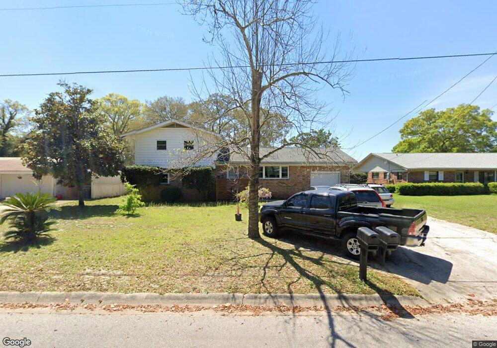
222 Sotir St NW Fort Walton Beach, FL 32548
Estimated Value: $331,000 - $370,000
4
Beds
3
Baths
2,029
Sq Ft
$175/Sq Ft
Est. Value
About This Home
This home is located at 222 Sotir St NW, Fort Walton Beach, FL 32548 and is currently estimated at $356,004, approximately $175 per square foot. 222 Sotir St NW is a home located in Okaloosa County with nearby schools including Elliott Point Elementary School, Max Bruner Junior Middle School, and Fort Walton Beach High School.
Ownership History
Date
Name
Owned For
Owner Type
Purchase Details
Closed on
May 23, 2008
Sold by
Varner Randy L and Varner Joan C
Bought by
Murphy Amanda C and Murphy David B
Current Estimated Value
Home Financials for this Owner
Home Financials are based on the most recent Mortgage that was taken out on this home.
Original Mortgage
$228,305
Outstanding Balance
$144,433
Interest Rate
5.86%
Mortgage Type
VA
Estimated Equity
$211,571
Create a Home Valuation Report for This Property
The Home Valuation Report is an in-depth analysis detailing your home's value as well as a comparison with similar homes in the area
Home Values in the Area
Average Home Value in this Area
Purchase History
| Date | Buyer | Sale Price | Title Company |
|---|---|---|---|
| Murphy Amanda C | $223,500 | Panhandle Title Inc |
Source: Public Records
Mortgage History
| Date | Status | Borrower | Loan Amount |
|---|---|---|---|
| Open | Murphy Amanda C | $228,305 |
Source: Public Records
Tax History Compared to Growth
Tax History
| Year | Tax Paid | Tax Assessment Tax Assessment Total Assessment is a certain percentage of the fair market value that is determined by local assessors to be the total taxable value of land and additions on the property. | Land | Improvement |
|---|---|---|---|---|
| 2024 | $1,586 | $163,724 | -- | -- |
| 2023 | $1,586 | $158,955 | $0 | $0 |
| 2022 | $1,658 | $154,325 | $0 | $0 |
| 2021 | $1,744 | $149,830 | $0 | $0 |
| 2020 | $1,719 | $147,761 | $0 | $0 |
| 2019 | $1,639 | $144,439 | $0 | $0 |
| 2018 | $1,627 | $141,746 | $0 | $0 |
| 2017 | $1,606 | $138,831 | $0 | $0 |
| 2016 | $1,561 | $135,976 | $0 | $0 |
| 2015 | $1,586 | $135,031 | $0 | $0 |
| 2014 | $1,587 | $133,959 | $0 | $0 |
Source: Public Records
Map
Nearby Homes
- 218 Moriarty St NW
- 213 Moriarty St NW
- 218 Katherine Place NW
- 236 Pleasant St NW
- 109 Maurice Ave NW
- 228 Watson Dr NW
- 215 Fliva Ave NW
- 203 Beal Pkwy NW
- 119 Thames Place NW
- 311 Beal Pkwy NW
- 337 Victoria Ave NW
- 126 Holmes Blvd NW
- 304 Briarwood Cir NW
- 165 Rainbow Dr NW
- 302 Briarwood Cir NW
- 164 Beal Pkwy NW
- 235 Linstew Dr NW
- 214 Jet Ct NW
- 133 Robinwood Dr NW
- 34 Hemlock Dr NW
- 224 Sotir St NW
- 220 Sotir St NW
- 225 Moriarty St NW
- 223 Moriarty St NW
- 226 Sotir St NW
- 227 Moriarty St NW
- 218 Sotir St NW
- 221 Moriarty St NW
- 223 Sotir St NW
- 221 Sotir St NW
- 225 Sotir St NW
- 229 Moriarty St NW
- 219 Sotir St NW
- 228 Sotir St NW
- 219 Moriarty St NW
- 227 Sotir St NW
- 217 Sotir St NW
- 231 Moriarty St NW
- 226 Moriarty St NW
- 222 Chateaugay St NW