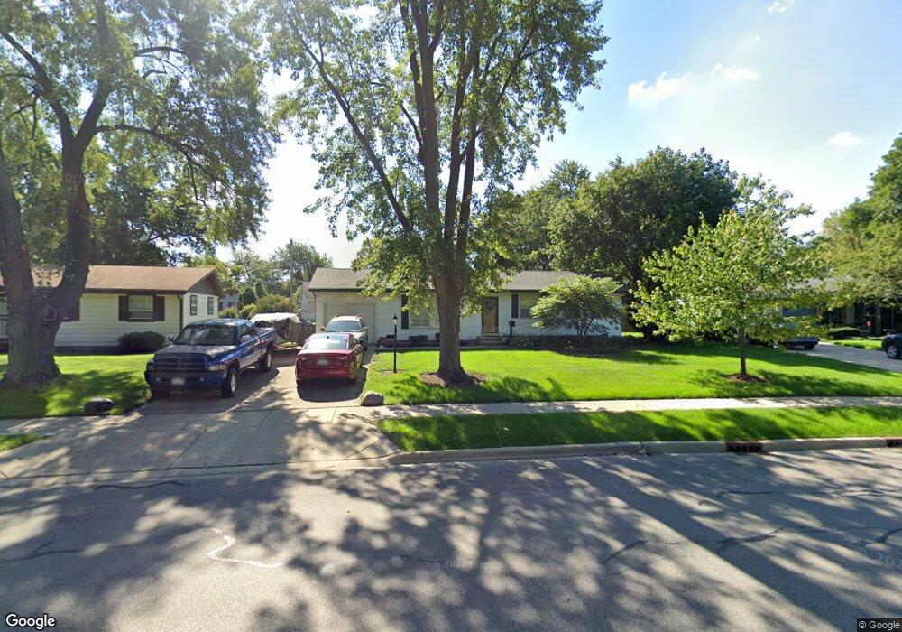
222 Thunderbird Trail Carol Stream, IL 60188
Estimated Value: $357,361 - $376,000
3
Beds
2
Baths
1,554
Sq Ft
$235/Sq Ft
Est. Value
About This Home
This home is located at 222 Thunderbird Trail, Carol Stream, IL 60188 and is currently estimated at $364,590, approximately $234 per square foot. 222 Thunderbird Trail is a home located in DuPage County with nearby schools including Carol Stream Elementary School, Jay Stream Middle School, and Glenbard North High School.
Ownership History
Date
Name
Owned For
Owner Type
Purchase Details
Closed on
Sep 23, 1996
Sold by
White Russell L and White Alice A
Bought by
Jirsa Donald J and Jirsa Deborah A
Current Estimated Value
Home Financials for this Owner
Home Financials are based on the most recent Mortgage that was taken out on this home.
Original Mortgage
$112,600
Outstanding Balance
$9,498
Interest Rate
8%
Estimated Equity
$355,092
Create a Home Valuation Report for This Property
The Home Valuation Report is an in-depth analysis detailing your home's value as well as a comparison with similar homes in the area
Home Values in the Area
Average Home Value in this Area
Purchase History
| Date | Buyer | Sale Price | Title Company |
|---|---|---|---|
| Jirsa Donald J | $132,500 | -- |
Source: Public Records
Mortgage History
| Date | Status | Borrower | Loan Amount |
|---|---|---|---|
| Open | Jirsa Donald J | $112,600 |
Source: Public Records
Tax History
| Year | Tax Paid | Tax Assessment Tax Assessment Total Assessment is a certain percentage of the fair market value that is determined by local assessors to be the total taxable value of land and additions on the property. | Land | Improvement |
|---|---|---|---|---|
| 2024 | $7,455 | $102,899 | $31,023 | $71,876 |
| 2023 | $6,978 | $94,100 | $28,370 | $65,730 |
| 2022 | $6,995 | $86,830 | $28,190 | $58,640 |
| 2021 | $7,105 | $82,490 | $26,780 | $55,710 |
| 2020 | $6,987 | $80,480 | $26,130 | $54,350 |
| 2019 | $6,717 | $77,340 | $25,110 | $52,230 |
| 2018 | $5,804 | $68,480 | $24,450 | $44,030 |
| 2017 | $5,477 | $63,470 | $22,660 | $40,810 |
| 2016 | $5,174 | $58,740 | $20,970 | $37,770 |
| 2015 | $5,045 | $54,820 | $19,570 | $35,250 |
| 2014 | $5,334 | $56,680 | $20,230 | $36,450 |
| 2013 | $5,369 | $58,620 | $20,920 | $37,700 |
Source: Public Records
Map
Nearby Homes
- 249 Shawnee Dr
- 155 Surrey Dr
- 213 Arapahoe Trail
- 350 Shawnee Dr
- 1N053 Lot 1 Farwell St
- 1N063 LOT 2 Farwell St
- 1N083 LOT 4 Farwell St
- 1043 Quarry Ct Unit 11
- 1N073 LOT 3 Farwell St
- 1N082 LOT 6 Morse St
- 1027 Quarry Ct Unit 7
- 1N 327 Gary Ave
- 565 Edgebrook Ct
- 403 Arrowhead Trail
- 27W130 W Street Charles Rd
- 648 Thunderbird Trail
- 764 N Gary Ave Unit 110
- 768 N Gary Ave Unit 103
- 720 Hoover Dr Unit 124
- 26W172 Klein Creek Dr
- 212 Thunderbird Trail
- 228 Thunderbird Trail
- 215 Shawnee Dr
- 205 Shawnee Dr
- 219 Shawnee Dr
- 232 Thunderbird Trail
- 223 Thunderbird Trail
- 192 Yuma Ln
- 235 Shawnee Dr Unit 20161
- 233 Thunderbird Trail
- 242 Thunderbird Trail
- 212 Yuma Ln
- 245 Shawnee Dr
- 243 Thunderbird Trail
- 248 Thunderbird Trail
- 191 Yuma Ln
- 197 Yuma Ln
- 186 Yuma Ln
- 234 Tomahawk Ct Unit 2
- 249 Thunderbird Trail
Your Personal Tour Guide
Ask me questions while you tour the home.