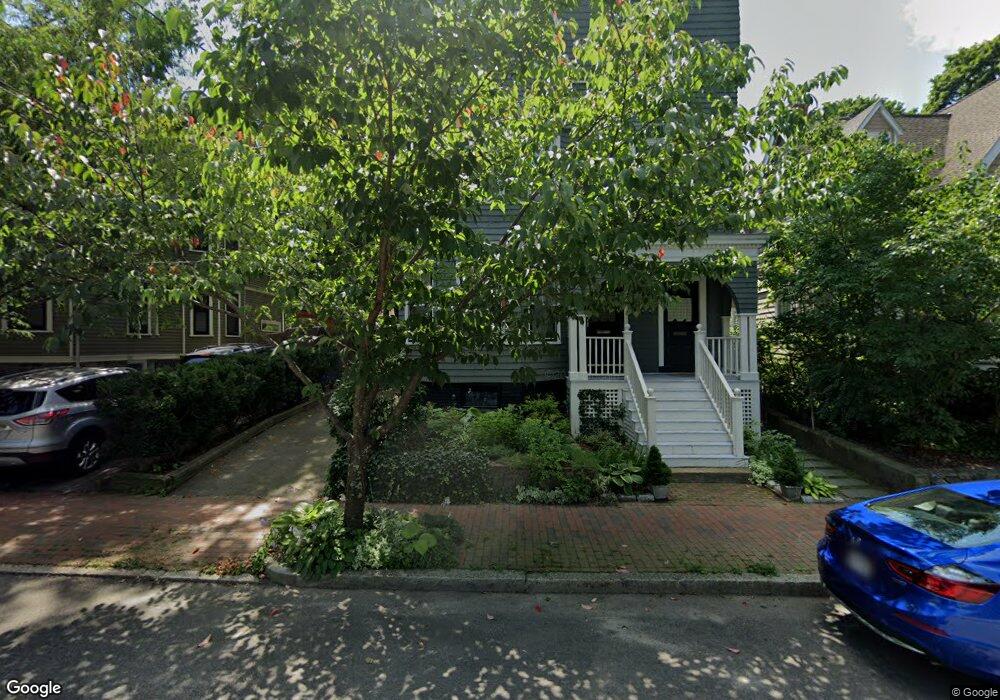
222 Upland Rd Unit 224 Cambridge, MA 02140
Neighborhood Nine NeighborhoodEstimated Value: $870,509 - $962,000
2
Beds
1
Bath
1,060
Sq Ft
$850/Sq Ft
Est. Value
About This Home
This home is located at 222 Upland Rd Unit 224, Cambridge, MA 02140 and is currently estimated at $901,377, approximately $850 per square foot. 222 Upland Rd Unit 224 is a home located in Middlesex County with nearby schools including Benjamin Banneker Charter Public School, Cambridge Montessori School, and Cambridge Friends School.
Ownership History
Date
Name
Owned For
Owner Type
Purchase Details
Closed on
Jun 23, 1998
Sold by
Gifford Ramsay
Bought by
Smith Jeffrey D and Bond Jamie L
Current Estimated Value
Home Financials for this Owner
Home Financials are based on the most recent Mortgage that was taken out on this home.
Original Mortgage
$220,500
Outstanding Balance
$44,266
Interest Rate
7.09%
Mortgage Type
Purchase Money Mortgage
Estimated Equity
$857,111
Create a Home Valuation Report for This Property
The Home Valuation Report is an in-depth analysis detailing your home's value as well as a comparison with similar homes in the area
Home Values in the Area
Average Home Value in this Area
Purchase History
| Date | Buyer | Sale Price | Title Company |
|---|---|---|---|
| Smith Jeffrey D | $247,000 | -- |
Source: Public Records
Mortgage History
| Date | Status | Borrower | Loan Amount |
|---|---|---|---|
| Open | Smith Jeffrey D | $220,500 |
Source: Public Records
Tax History Compared to Growth
Tax History
| Year | Tax Paid | Tax Assessment Tax Assessment Total Assessment is a certain percentage of the fair market value that is determined by local assessors to be the total taxable value of land and additions on the property. | Land | Improvement |
|---|---|---|---|---|
| 2025 | $5,017 | $790,000 | $0 | $790,000 |
| 2024 | $4,645 | $784,600 | $0 | $784,600 |
| 2023 | $4,461 | $761,200 | $0 | $761,200 |
| 2022 | $4,484 | $757,500 | $0 | $757,500 |
| 2021 | $4,362 | $745,600 | $0 | $745,600 |
| 2020 | $4,182 | $727,300 | $0 | $727,300 |
| 2019 | $4,012 | $675,500 | $0 | $675,500 |
| 2018 | $1,808 | $621,000 | $0 | $621,000 |
| 2017 | $3,781 | $582,600 | $0 | $582,600 |
| 2016 | $3,691 | $528,100 | $0 | $528,100 |
| 2015 | $3,654 | $467,200 | $0 | $467,200 |
| 2014 | $3,606 | $430,300 | $0 | $430,300 |
Source: Public Records
Map
Nearby Homes
- 273 Walden St Unit 2
- 86 Avon Hill St
- 12-14 Gray Gardens W
- 84 Garden St
- 18 Donnell St
- 148 Huron Ave
- 43 Linnaean St Unit 42
- 70 Walden St Unit 1
- 70 Walden St Unit 7
- 70 Walden St Unit 11
- 24 Cambridge Terrace Unit 2
- 202 Garden St
- 32 Copley St Unit 2
- 22 Agassiz St
- 5 Field St
- 156 Fayerweather St Unit 156
- 14-16 Field St
- 61 Bolton St Unit 304
- 52 Garden St Unit B2
- 234 Huron Ave
- 224 Upland Rd Unit 2
- 222 Upland Rd Unit 224
- 222 Upland Rd Unit 224
- 222 Upland Rd Unit 1
- 224 Upland Rd Unit 2,224
- 224 Upland Rd Unit 3
- 222 Upland Rd Unit 2
- 216 Upland Rd
- 226 Upland Rd
- 230 Upland Rd
- 230 Upland Rd
- 230 Upland Rd Unit 2
- 212 Upland Rd
- 9 Bellevue Ave
- 234 Upland Rd
- 5 Bellevue Ave
- 12 Newell Terrace
- 233 Upland Rd
- 5 W Bellevue Ave
- 8 Newell Terrace