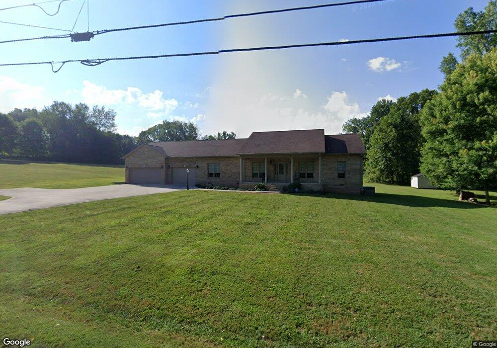
222 Walnut Grove Rd Sparta, TN 38583
Estimated Value: $355,000 - $467,000
--
Bed
1
Bath
1,749
Sq Ft
$223/Sq Ft
Est. Value
About This Home
This home is located at 222 Walnut Grove Rd, Sparta, TN 38583 and is currently estimated at $390,308, approximately $223 per square foot. 222 Walnut Grove Rd is a home with nearby schools including Northfield Elementary School, White County Middle School, and White County High School.
Ownership History
Date
Name
Owned For
Owner Type
Purchase Details
Closed on
Feb 12, 2019
Sold by
Johnson Norman J and Johnson Susan K
Bought by
Bickford Emma J
Current Estimated Value
Purchase Details
Closed on
Jul 11, 2016
Sold by
England Ricky
Bought by
Johnson Norman M and Johnson Susan K
Purchase Details
Closed on
Mar 30, 2011
Sold by
First National Bank Of Tennessee
Bought by
England Ricky
Purchase Details
Closed on
Jan 27, 2011
Sold by
Richards Randy
Bought by
First National Bank Of Tenness
Create a Home Valuation Report for This Property
The Home Valuation Report is an in-depth analysis detailing your home's value as well as a comparison with similar homes in the area
Home Values in the Area
Average Home Value in this Area
Purchase History
| Date | Buyer | Sale Price | Title Company |
|---|---|---|---|
| Bickford Emma J | $275,000 | None Available | |
| Johnson Norman M | $17,000 | -- | |
| England Ricky | $9,000 | -- | |
| First National Bank Of Tenness | $9,942 | -- |
Source: Public Records
Tax History Compared to Growth
Tax History
| Year | Tax Paid | Tax Assessment Tax Assessment Total Assessment is a certain percentage of the fair market value that is determined by local assessors to be the total taxable value of land and additions on the property. | Land | Improvement |
|---|---|---|---|---|
| 2024 | $1,398 | $68,200 | $7,900 | $60,300 |
| 2023 | $0 | $68,200 | $7,900 | $60,300 |
| 2022 | $1,398 | $68,200 | $7,900 | $60,300 |
| 2021 | $1,398 | $68,200 | $7,900 | $60,300 |
| 2020 | $1,398 | $68,200 | $7,900 | $60,300 |
| 2019 | $949 | $46,300 | $4,625 | $41,675 |
| 2018 | $949 | $46,300 | $4,625 | $41,675 |
| 2017 | $949 | $46,300 | $4,625 | $41,675 |
| 2016 | $95 | $4,625 | $4,625 | $0 |
| 2015 | $86 | $4,625 | $4,625 | $0 |
| 2014 | -- | $4,625 | $4,625 | $0 |
| 2013 | -- | $4,675 | $4,675 | $0 |
Source: Public Records
Map
Nearby Homes
- 221 Magnolia Rd
- lot 7 James Holman Rd
- lot 6 James Holman Rd
- 147 Bob White Dr
- 130 Mallard Dr
- 761 Walter Stone Rd
- 191 Rustling Oaks Dr
- 159 Rustling Oaks Dr
- 1045 Mullican Rd
- 0 Saylor Rd
- 00 Saylor Rd
- 366 S Bunker Hill Rd
- 00 Oakcrest Dr
- 00 Milk Plant Rd
- 1236 Swamp Rd
- 355 Dillon Gribble Rd
- 156 Horseshoe Dr
- 470 Black Oak Rd
- 486 Black Oak Rd
- 245 Walnut Grove Rd
- 288 Walnut Grove Rd
- 275 Walnut Grove Rd
- 142 Walnut Grove Rd
- 149 Walnut Grove Rd
- 300 Walnut Grove Rd
- 4210 Roberts Matthews Hwy
- 417 Scott Cemetery Rd
- 417 Scott Cemetery Rd
- 320 Walnut Grove Rd
- 141 Hawthorne Rd
- 4136 Roberts Matthews Hwy
- 171 Hawthorne Rd
- 493 Scott Cemetery Rd
- 337 Walnut Grove Rd
- 535 Scott Cemetery Rd
- 4102 Roberts Matthews Hwy
- 31.5 ac Scott Cemetery Rd
- 4199 Roberts Matthews Hwy
- 154 Hawthorne Rd