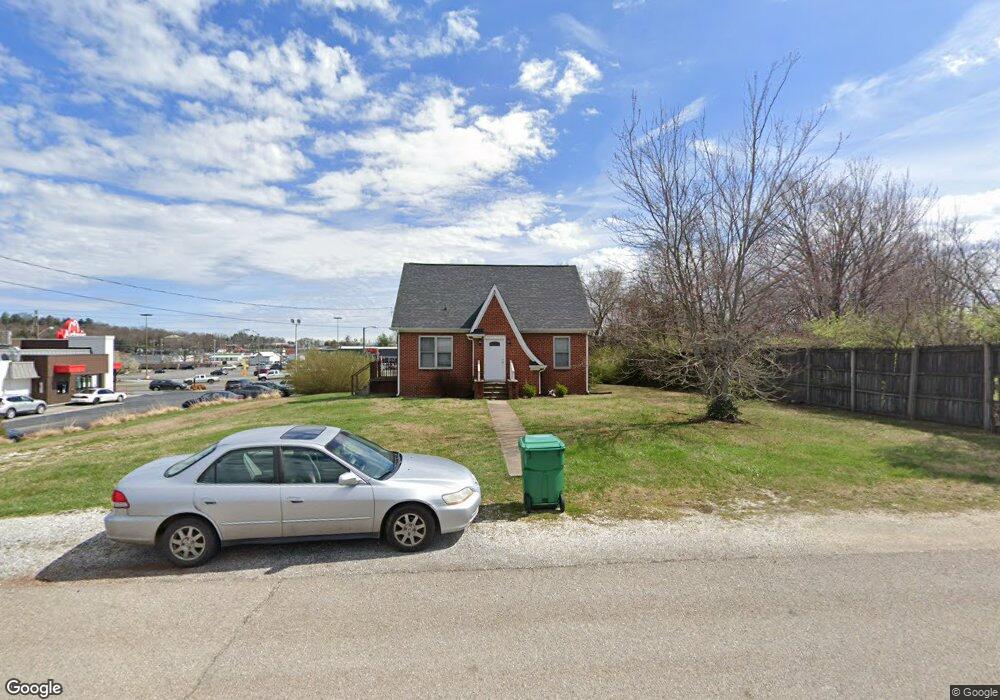
222 Western Ave Unit D-15 Morristown, TN 37814
Estimated Value: $180,000 - $293,000
--
Bed
--
Bath
1,058
Sq Ft
$231/Sq Ft
Est. Value
About This Home
This home is located at 222 Western Ave Unit D-15, Morristown, TN 37814 and is currently estimated at $244,216, approximately $230 per square foot. 222 Western Ave Unit D-15 is a home located in Hamblen County with nearby schools including West Elementary School, Lincoln Heights Middle School, and Morristown West High School.
Ownership History
Date
Name
Owned For
Owner Type
Purchase Details
Closed on
Jun 8, 2015
Sold by
Helton Leslie E and Helton Marjorie K
Bought by
Helton Leslie Edward & Helton Marjorie Ttee'S
Current Estimated Value
Purchase Details
Closed on
Feb 18, 2014
Sold by
Hill Brenda
Bought by
Helton Leslie E and Helton Marjorie K
Purchase Details
Closed on
Oct 9, 2013
Sold by
May Shirley Buel
Bought by
Hill Brenda
Purchase Details
Closed on
Jul 6, 1974
Bought by
Buel Dillon and Buel Mae
Create a Home Valuation Report for This Property
The Home Valuation Report is an in-depth analysis detailing your home's value as well as a comparison with similar homes in the area
Home Values in the Area
Average Home Value in this Area
Purchase History
| Date | Buyer | Sale Price | Title Company |
|---|---|---|---|
| Helton Leslie Edward & Helton Marjorie Ttee'S | -- | -- | |
| Helton Leslie E | $104,000 | -- | |
| Hill Brenda | $62,150 | -- | |
| Buel Dillon | $25,000 | -- |
Source: Public Records
Tax History Compared to Growth
Tax History
| Year | Tax Paid | Tax Assessment Tax Assessment Total Assessment is a certain percentage of the fair market value that is determined by local assessors to be the total taxable value of land and additions on the property. | Land | Improvement |
|---|---|---|---|---|
| 2024 | $515 | $29,275 | $25,125 | $4,150 |
| 2023 | $515 | $29,275 | $0 | $0 |
| 2022 | $925 | $29,275 | $25,125 | $4,150 |
| 2021 | $515 | $29,275 | $25,125 | $4,150 |
| 2020 | $924 | $29,275 | $25,125 | $4,150 |
| 2019 | $920 | $27,050 | $21,825 | $5,225 |
| 2018 | $852 | $27,050 | $21,825 | $5,225 |
| 2017 | $839 | $27,050 | $21,825 | $5,225 |
| 2016 | $801 | $27,050 | $21,825 | $5,225 |
| 2015 | $745 | $27,050 | $21,825 | $5,225 |
| 2014 | -- | $27,050 | $21,825 | $5,225 |
| 2013 | -- | $29,700 | $0 | $0 |
Source: Public Records
Map
Nearby Homes
- 2310 Sandstone Dr
- 2454 Sandstone Dr
- 2444 Sandstone Dr
- 2430 Sandstone Dr
- 2045 N Economy Rd Unit A3
- 707 Walters Dr
- 2020 N Economy Rd
- 1530 Rayburn Dr
- 1620 Evergreen Dr
- 1476 Darbee Dr
- 941 Heykoop Dr
- 1442 Darbee Dr
- 1033 Walters Dr
- 1211 W 6th St N
- 1613 Cardinal Dr
- 1626 Cardinal Dr
- 1002 Watercrest St
- 1230 Mcfarland St Unit 37
- 1230 Mcfarland St Unit 3
- 816 W 2nd St N
- 222 Western Ave
- 206 Western Ave
- 223 Western Ave
- 229 Western Ave
- 233 Western Ave
- 237 Western Ave
- 1983 W Morris Blvd
- 241 Western Ave
- 1960 W Morris Blvd
- 245 Western Ave
- 1946 W Morris Blvd Unit Suite 1942
- 1946 W Morris Blvd Unit Suite 1940
- 1946 W Morris Blvd
- 1950 W Morris Blvd
- 1952 W Morris Blvd
- 1954 W Morris Blvd
- 0 Western Ave
- 2181 W Andrew Johnson Hwy
- 1925 W Andrew Johnson Hwy
- 203 E Economy Rd