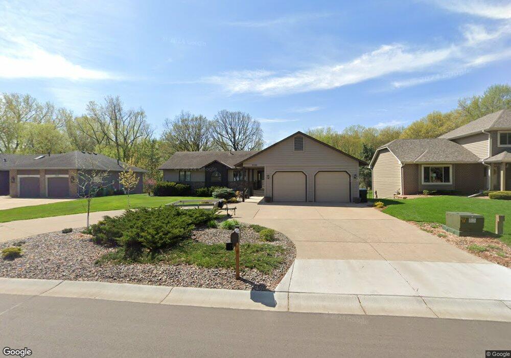
2220 127th Ln NW Coon Rapids, MN 55448
Estimated Value: $469,000 - $508,000
4
Beds
3
Baths
1,875
Sq Ft
$262/Sq Ft
Est. Value
About This Home
This home is located at 2220 127th Ln NW, Coon Rapids, MN 55448 and is currently estimated at $490,560, approximately $261 per square foot. 2220 127th Ln NW is a home located in Anoka County with nearby schools including Lucile Bruner Elementary School, Morris Bye Elementary School, and Laughlin Junior/Senior High School.
Ownership History
Date
Name
Owned For
Owner Type
Purchase Details
Closed on
Oct 15, 1998
Sold by
Mason Jeffery A
Bought by
Wilson Grant J and Wilson Tammy K
Current Estimated Value
Purchase Details
Closed on
Mar 27, 1997
Sold by
Olson Ladonna L and Olson Mandus R
Bought by
Mason Jeffery Allen
Create a Home Valuation Report for This Property
The Home Valuation Report is an in-depth analysis detailing your home's value as well as a comparison with similar homes in the area
Home Values in the Area
Average Home Value in this Area
Purchase History
| Date | Buyer | Sale Price | Title Company |
|---|---|---|---|
| Wilson Grant J | $203,000 | -- | |
| Mason Jeffery A | $195,000 | -- | |
| Mason Jeffery Allen | $195,000 | -- |
Source: Public Records
Mortgage History
| Date | Status | Borrower | Loan Amount |
|---|---|---|---|
| Closed | Mason Jeffery Allen | -- |
Source: Public Records
Tax History Compared to Growth
Tax History
| Year | Tax Paid | Tax Assessment Tax Assessment Total Assessment is a certain percentage of the fair market value that is determined by local assessors to be the total taxable value of land and additions on the property. | Land | Improvement |
|---|---|---|---|---|
| 2025 | $6,143 | $543,600 | $94,500 | $449,100 |
| 2024 | $6,143 | $531,200 | $91,400 | $439,800 |
| 2023 | $5,296 | $532,700 | $75,600 | $457,100 |
| 2022 | $4,903 | $528,800 | $75,600 | $453,200 |
| 2021 | $4,787 | $435,800 | $58,800 | $377,000 |
| 2020 | $4,784 | $414,800 | $58,800 | $356,000 |
| 2019 | $4,540 | $397,600 | $58,800 | $338,800 |
| 2018 | $4,357 | $367,600 | $0 | $0 |
| 2017 | $3,768 | $342,700 | $0 | $0 |
| 2016 | $3,836 | $292,500 | $0 | $0 |
| 2015 | -- | $292,500 | $52,500 | $240,000 |
| 2014 | -- | $249,400 | $37,200 | $212,200 |
Source: Public Records
Map
Nearby Homes
- 12760 Raven St NW
- 2147 125th Ln NW
- 12888 Nightingale St NW
- 1930 127th Cir NW
- 2068 124th Ln NW
- 2675 128th Ave NW
- 12759 Ibis St NW
- 12365 Jay St NW
- 12554 Grouse St NW
- 13182 Zion St NW
- 13416 Swallow St NW
- 1593 126th Ln NW
- 1687 131st Ln NW
- 1776 133rd Ave NW
- 2740 132nd Ln NW
- 1520 129th Ave NW
- 1727 121st Ln NW
- 1450 126th Ln NW
- 12463 Drake St NW
- 13519 Partridge Cir NW
- 2230 127th Ln NW
- 2240 127th Ln NW
- 12765 Swallow St NW
- 2250 127th Ln NW
- 12775 Swallow St NW
- 12770 Raven St NW
- 12762 Swallow St NW
- 2260 127th Ln NW
- 12785 Swallow St NW
- 12772 Swallow St NW
- 12780 Raven St NW
- 2270 127th Ln NW
- 2265 127th Ln NW
- 12782 Swallow St NW
- 12795 Swallow St NW
- 12790 Raven St NW
- 2196 128th Ave NW
- 2275 127th Ln NW
- 12792 Swallow St NW
- 12805 Swallow St NW