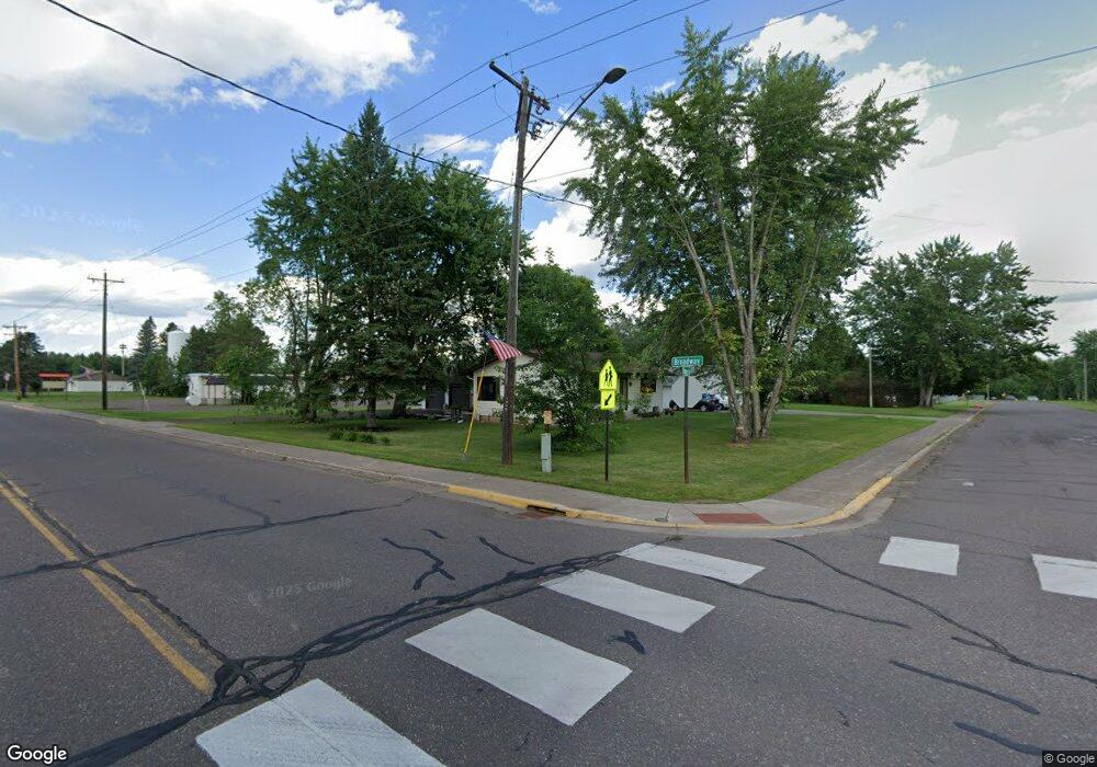
2220 County Line Rd Unit MAIL/WRENSHALL Wrenshall, MN 55749
Estimated Value: $222,534 - $272,000
2
Beds
2
Baths
1,300
Sq Ft
$187/Sq Ft
Est. Value
About This Home
This home is located at 2220 County Line Rd Unit MAIL/WRENSHALL, Wrenshall, MN 55749 and is currently estimated at $243,134, approximately $187 per square foot. 2220 County Line Rd Unit MAIL/WRENSHALL is a home located in Pine County with nearby schools including East Central Elementary School and East Central Senior Secondary School.
Ownership History
Date
Name
Owned For
Owner Type
Purchase Details
Closed on
Jun 22, 2015
Sold by
Furlong Timothy Timothy
Bought by
Gould Cal Cal
Current Estimated Value
Home Financials for this Owner
Home Financials are based on the most recent Mortgage that was taken out on this home.
Original Mortgage
$119,310
Outstanding Balance
$93,226
Interest Rate
4%
Estimated Equity
$149,908
Purchase Details
Closed on
Dec 29, 2008
Sold by
Sheff Mark
Bought by
Furlong Timothy T and Furlong Mary Ann E
Create a Home Valuation Report for This Property
The Home Valuation Report is an in-depth analysis detailing your home's value as well as a comparison with similar homes in the area
Home Values in the Area
Average Home Value in this Area
Purchase History
| Date | Buyer | Sale Price | Title Company |
|---|---|---|---|
| Gould Cal Cal | $123,000 | -- | |
| Furlong Timothy T | $115,000 | -- |
Source: Public Records
Mortgage History
| Date | Status | Borrower | Loan Amount |
|---|---|---|---|
| Open | Gould Cal Cal | $119,310 |
Source: Public Records
Tax History Compared to Growth
Tax History
| Year | Tax Paid | Tax Assessment Tax Assessment Total Assessment is a certain percentage of the fair market value that is determined by local assessors to be the total taxable value of land and additions on the property. | Land | Improvement |
|---|---|---|---|---|
| 2025 | $1,504 | $186,300 | $67,800 | $118,500 |
| 2024 | $1,552 | $182,100 | $57,600 | $124,500 |
| 2023 | $1,896 | $177,800 | $61,500 | $116,300 |
| 2022 | $2,164 | $191,000 | $46,600 | $144,400 |
| 2021 | $2,184 | $187,400 | $32,900 | $154,500 |
| 2020 | $1,842 | $180,800 | $32,200 | $148,600 |
| 2019 | $1,326 | $159,200 | $30,500 | $128,700 |
| 2018 | $1,138 | $120,100 | $27,500 | $92,600 |
| 2017 | $1,080 | $108,700 | $26,200 | $82,500 |
| 2016 | $898 | $102,700 | $25,700 | $77,000 |
| 2014 | $1,176 | $89,600 | $27,100 | $62,500 |
Source: Public Records
Map
Nearby Homes
- 1940 Soper Lake Ln Unit LotWP001
- 1940 Soper Lake Ln
- 1823 Cr-146
- 94241 S Net Lake Rd
- 3767 Minnesota 23
- 2594 County Road 8
- 4760 N Net Lake Rd
- NA Na
- TBD-3 Oak Leaf Rd
- TBD-2 Oak Leaf Rd
- TBD - 4 Oak Leaf Rd
- 53144 Oak Leaf Rd
- TBD Little Oak Lake Rd
- 8388 Park St
- 8372 Garden St
- 52000 Deerfield Rd
- 82728 Shady Pine Rd
- 4527 County Road 145
- 48XYZ Deerfield Rd
- 3581 County Line Rd
- 2220 County Line Rd
- 2230 County Line Rd
- 2200 County Line Rd
- 2236 County Line Rd
- 2162 County Line Rd
- 2165 County Line Rd
- 2244 County Line Rd
- 2252 County Line Rd
- 2272 County Line Rd
- 2298 County Line Rd
- 2102 County Line Rd
- 2248 County Line Rd
- 94183 State Highway 23
- 94435 State Highway 23
- 94924 Main St
- 94531 Main St
- 94710 Main St
- 2051 County Line Rd
- 94592 Main St
- 94343 Main St