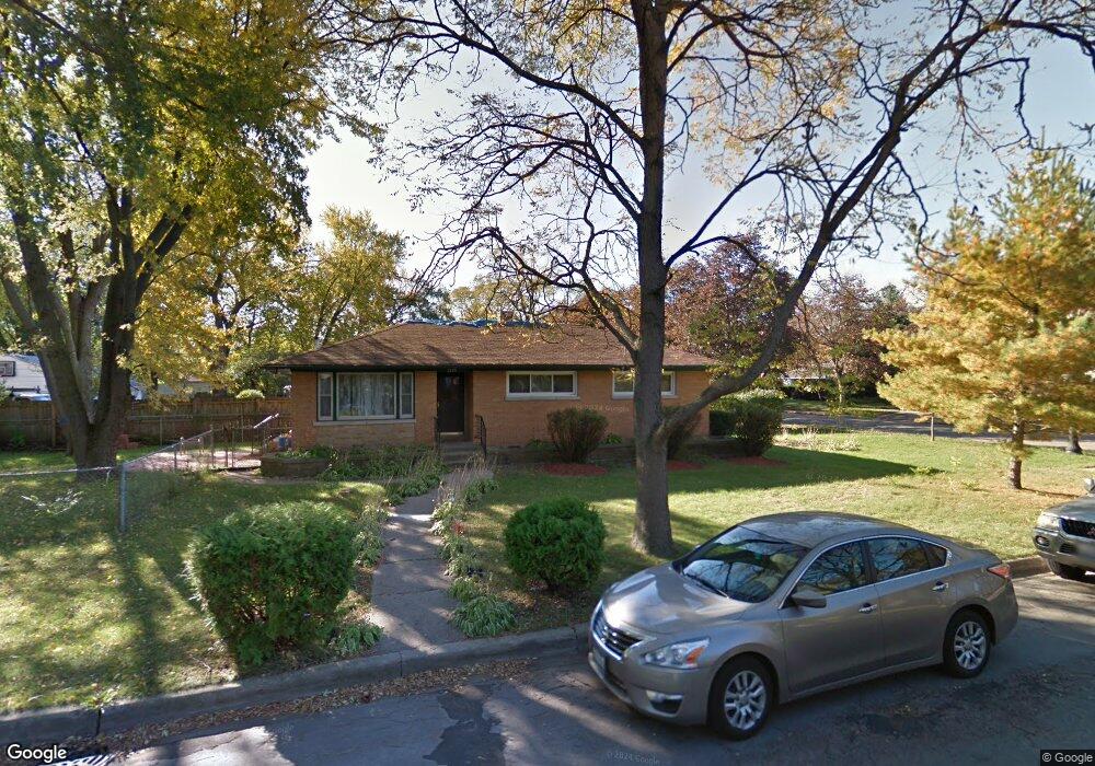
2220 Crain St Evanston, IL 60202
West End NeighborhoodEstimated Value: $405,000 - $493,000
3
Beds
1
Bath
1,104
Sq Ft
$399/Sq Ft
Est. Value
About This Home
This home is located at 2220 Crain St, Evanston, IL 60202 and is currently estimated at $440,024, approximately $398 per square foot. 2220 Crain St is a home located in Cook County with nearby schools including Walker Elementary School, Chute Middle School, and Evanston Township High School.
Ownership History
Date
Name
Owned For
Owner Type
Purchase Details
Closed on
Aug 25, 2005
Sold by
Dullin Leroy O
Bought by
Vernier Daniel and Vernier Michelle M
Current Estimated Value
Home Financials for this Owner
Home Financials are based on the most recent Mortgage that was taken out on this home.
Original Mortgage
$240,000
Outstanding Balance
$124,977
Interest Rate
5.82%
Mortgage Type
Fannie Mae Freddie Mac
Estimated Equity
$315,047
Create a Home Valuation Report for This Property
The Home Valuation Report is an in-depth analysis detailing your home's value as well as a comparison with similar homes in the area
Home Values in the Area
Average Home Value in this Area
Purchase History
| Date | Buyer | Sale Price | Title Company |
|---|---|---|---|
| Vernier Daniel | $300,000 | Multiple |
Source: Public Records
Mortgage History
| Date | Status | Borrower | Loan Amount |
|---|---|---|---|
| Open | Vernier Daniel | $240,000 |
Source: Public Records
Tax History
| Year | Tax Paid | Tax Assessment Tax Assessment Total Assessment is a certain percentage of the fair market value that is determined by local assessors to be the total taxable value of land and additions on the property. | Land | Improvement |
|---|---|---|---|---|
| 2025 | $5,976 | $37,000 | $12,325 | $24,675 |
| 2024 | $5,976 | $28,000 | $10,200 | $17,800 |
| 2023 | $5,710 | $28,000 | $10,200 | $17,800 |
| 2022 | $5,710 | $28,000 | $10,200 | $17,800 |
| 2021 | $5,792 | $25,154 | $7,225 | $17,929 |
| 2020 | $6,062 | $26,254 | $7,225 | $19,029 |
| 2019 | $6,054 | $29,269 | $7,225 | $22,044 |
| 2018 | $6,556 | $27,364 | $5,950 | $21,414 |
| 2017 | $6,401 | $27,364 | $5,950 | $21,414 |
| 2016 | $6,293 | $27,364 | $5,950 | $21,414 |
| 2015 | $4,415 | $19,088 | $5,100 | $13,988 |
| 2014 | $4,997 | $21,383 | $5,100 | $16,283 |
| 2013 | $4,866 | $21,383 | $5,100 | $16,283 |
Source: Public Records
Map
Nearby Homes
- 1120 Pitner Ave
- 2321 Lee St
- 1321 Pitner Ave Unit A
- 1133 Dodge Ave
- 1037 Dodge Ave
- 3334 Wilder St
- 920 Dodge Ave
- 1111 Darrow Ave
- 1213 Darrow Ave
- 8428 Mccormick Blvd
- 826 Brown Ave
- 1042 Dewey Ave
- 8626 Trumbull Ave
- 1710 Lake St
- 1810 Washington St
- 8260 N Mccormick Blvd
- 1460 Dewey Ave
- 1815 Cleveland St
- 8450 Drake Ave
- 8822 Central Park Ave
- 1141 Pitner Ave
- 1137 Pitner Ave
- 1201 Pitner Ave
- 2210 Crain St
- 1133 Pitner Ave
- 1205 Pitner Ave
- 1205 Pitner Ave
- 1140 Hartrey Ave
- 1209 Pitner Ave
- 1136 Hartrey Ave
- 2200 Crain St
- 1134 Hartrey Ave
- 1144 Pitner Ave
- 1140 Pitner Ave
- 1215 Pitner Ave
- 1129 Pitner Ave
- 1200 Pitner Ave
- 1136 Pitner Ave
- 1136 Pitner Ave
- 1206 Pitner Ave
Your Personal Tour Guide
Ask me questions while you tour the home.