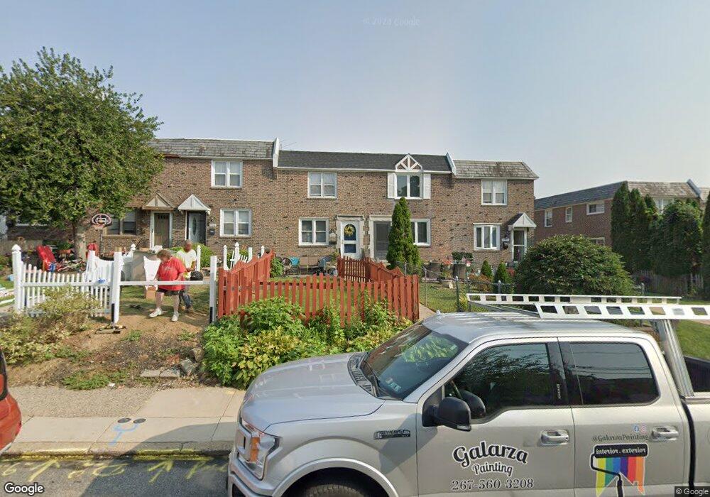
2220 Dermond Ave Upper Darby, PA 19082
Estimated Value: $214,000 - $247,000
3
Beds
1
Bath
1,120
Sq Ft
$207/Sq Ft
Est. Value
About This Home
This home is located at 2220 Dermond Ave, Upper Darby, PA 19082 and is currently estimated at $232,077, approximately $207 per square foot. 2220 Dermond Ave is a home located in Delaware County with nearby schools including Hillcrest El School, Drexel Hill Middle School, and Upper Darby High School.
Ownership History
Date
Name
Owned For
Owner Type
Purchase Details
Closed on
Dec 8, 2021
Sold by
Mastrangelo Linda
Bought by
Mastrangelo Linda and Mastrangelo Mike J
Current Estimated Value
Home Financials for this Owner
Home Financials are based on the most recent Mortgage that was taken out on this home.
Original Mortgage
$101,750
Outstanding Balance
$93,583
Interest Rate
3.11%
Mortgage Type
FHA
Estimated Equity
$138,494
Create a Home Valuation Report for This Property
The Home Valuation Report is an in-depth analysis detailing your home's value as well as a comparison with similar homes in the area
Home Values in the Area
Average Home Value in this Area
Purchase History
| Date | Buyer | Sale Price | Title Company |
|---|---|---|---|
| Mastrangelo Linda | -- | Priority Title & Escrow |
Source: Public Records
Mortgage History
| Date | Status | Borrower | Loan Amount |
|---|---|---|---|
| Open | Mastrangelo Linda | $101,750 |
Source: Public Records
Tax History Compared to Growth
Tax History
| Year | Tax Paid | Tax Assessment Tax Assessment Total Assessment is a certain percentage of the fair market value that is determined by local assessors to be the total taxable value of land and additions on the property. | Land | Improvement |
|---|---|---|---|---|
| 2025 | $4,514 | $106,730 | $26,630 | $80,100 |
| 2024 | $4,514 | $106,730 | $26,630 | $80,100 |
| 2023 | $4,471 | $106,730 | $26,630 | $80,100 |
| 2022 | $4,351 | $106,730 | $26,630 | $80,100 |
| 2021 | $5,867 | $106,730 | $26,630 | $80,100 |
| 2020 | $5,645 | $87,260 | $29,050 | $58,210 |
| 2019 | $5,545 | $87,260 | $29,050 | $58,210 |
| 2018 | $5,482 | $87,260 | $0 | $0 |
| 2017 | $5,339 | $87,260 | $0 | $0 |
| 2016 | $489 | $87,260 | $0 | $0 |
| 2015 | $489 | $87,260 | $0 | $0 |
| 2014 | $479 | $87,260 | $0 | $0 |
Source: Public Records
Map
Nearby Homes
- 2228 Manor Ave
- 2287 S Harwood Ave
- 8525 Monroe Ave
- 9138 W Chester Pike
- 1101 Wilson Dr
- 110 E Township Line Rd
- 9 N Brighton Ave
- 22 S Linden Ave
- 223 E Park Rd
- 1113 Harding Dr
- 221 E Park Rd
- 2404 Stoneybrook Ln Unit 1
- 1133 Agnew Dr
- 643 Saint Anthony Ln
- 0 Ardmore Ave
- 123 Cunningham Ave
- 142 Foster Ave
- 2525 Irvington Rd
- 2431 Cedar Ln
- 1037 Cobbs St
- 2218 Dermond Ave
- 2222 Dermond Ave
- 2216 Dermond Ave
- 2214 Dermond Ave
- 2224 Dermond Ave
- 2212 Dermond Ave
- 2226 Dermond Ave
- 2210 Dermond Ave
- 2228 Dermond Ave
- 2208 Dermond Ave
- 2230 Dermond Ave
- 2223 S Harwood Ave
- 2221 S Harwood Ave
- 2225 S Harwood Ave
- 2206 Dermond Ave
- 2219 S Harwood Ave
- 2227 S Harwood Ave
- 2217 S Harwood Ave
- 2215 S Harwood Ave
- 2204 Dermond Ave