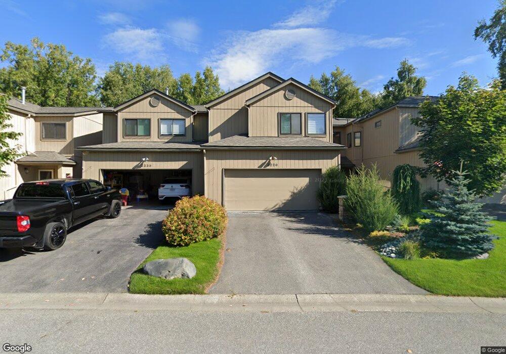
2220 Innes Cir Anchorage, AK 99515
Old Seward-Oceanview NeighborhoodEstimated Value: $331,000 - $554,303
3
Beds
3
Baths
2,381
Sq Ft
$189/Sq Ft
Est. Value
About This Home
This home is located at 2220 Innes Cir, Anchorage, AK 99515 and is currently estimated at $449,076, approximately $188 per square foot. 2220 Innes Cir is a home located in Anchorage Municipality with nearby schools including Rabbit Creek Elementary School, Goldenview Middle School, and South Anchorage High School.
Ownership History
Date
Name
Owned For
Owner Type
Purchase Details
Closed on
Jul 18, 2006
Sold by
Jones Kenneth W and Stephens Jones Gwen L
Bought by
Burnstin Susan
Current Estimated Value
Home Financials for this Owner
Home Financials are based on the most recent Mortgage that was taken out on this home.
Original Mortgage
$145,000
Outstanding Balance
$85,248
Interest Rate
6.57%
Mortgage Type
Purchase Money Mortgage
Estimated Equity
$363,828
Purchase Details
Closed on
Jul 20, 1998
Sold by
Kelley Richard J and Kelley Judith S
Bought by
Jones Kenneth W and Stephens-Jones Gwen L
Purchase Details
Closed on
Dec 30, 1992
Sold by
Bell Homes
Bought by
Kelley Richard J and Kelley Judith S
Home Financials for this Owner
Home Financials are based on the most recent Mortgage that was taken out on this home.
Original Mortgage
$173,238
Interest Rate
8.3%
Mortgage Type
VA
Purchase Details
Closed on
Jul 10, 1992
Sold by
Bachner-Liston Becky and Clapper Becky L
Bought by
Bell Homes
Home Financials for this Owner
Home Financials are based on the most recent Mortgage that was taken out on this home.
Original Mortgage
$128,375
Interest Rate
8.66%
Mortgage Type
New Conventional
Create a Home Valuation Report for This Property
The Home Valuation Report is an in-depth analysis detailing your home's value as well as a comparison with similar homes in the area
Home Values in the Area
Average Home Value in this Area
Purchase History
| Date | Buyer | Sale Price | Title Company |
|---|---|---|---|
| Burnstin Susan | -- | None Available | |
| Jones Kenneth W | -- | -- | |
| Jones Kenneth W | -- | -- | |
| Kelley Richard J | -- | -- | |
| Bell Homes | -- | -- |
Source: Public Records
Mortgage History
| Date | Status | Borrower | Loan Amount |
|---|---|---|---|
| Open | Burnstin Susan | $145,000 | |
| Previous Owner | Kelley Richard J | $173,238 | |
| Previous Owner | Bell Homes | $128,375 | |
| Closed | Jones Kenneth W | $0 |
Source: Public Records
Tax History Compared to Growth
Tax History
| Year | Tax Paid | Tax Assessment Tax Assessment Total Assessment is a certain percentage of the fair market value that is determined by local assessors to be the total taxable value of land and additions on the property. | Land | Improvement |
|---|---|---|---|---|
| 2025 | $3,799 | $509,200 | $73,400 | $435,800 |
| 2024 | $3,799 | $460,300 | $73,400 | $386,900 |
| 2023 | $7,328 | $430,300 | $73,400 | $356,900 |
| 2022 | $3,381 | $400,800 | $73,400 | $327,400 |
| 2021 | $6,792 | $376,900 | $73,400 | $303,500 |
| 2020 | $3,212 | $390,100 | $73,400 | $316,700 |
| 2019 | $2,739 | $367,400 | $73,400 | $294,000 |
| 2018 | $5,381 | $378,100 | $65,500 | $312,600 |
| 2017 | $5,411 | $365,500 | $55,200 | $310,300 |
| 2016 | $5,615 | $364,000 | $55,200 | $308,800 |
| 2015 | $5,615 | $347,100 | $55,200 | $291,900 |
| 2014 | $5,615 | $342,400 | $50,300 | $292,100 |
Source: Public Records
Map
Nearby Homes
- 2000 Jarvis Ave
- 14231 Hancock Dr
- 14121 Sunview Dr
- 13901 Jarvi Dr
- 13322 Diggins Dr
- 13530 Westwind Dr
- 1800 Hamilton Dr
- 13470 Baywind Cir
- 13105 Stephenson St
- 13481 Baywind Dr
- 13351 Venus Way
- 13540 Seachant Cir
- 13210 Old Seward Hwy Unit 15
- 2020 Steeple Dr
- 2940 E 142nd Ave
- 13200 Old Seward Hwy
- 13620 Windward Cir
- 13103 Brandon St Unit 14
- 2701 Kempton Hills Dr
- 000 Wildien Dr