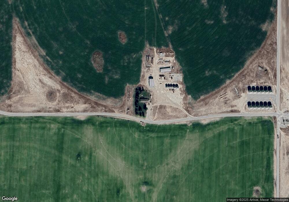
2220 W 200 S Pingree, ID 83262
Estimated Value: $358,000 - $441,000
5
Beds
2
Baths
2,576
Sq Ft
$158/Sq Ft
Est. Value
About This Home
This home is located at 2220 W 200 S, Pingree, ID 83262 and is currently estimated at $406,179, approximately $157 per square foot. 2220 W 200 S is a home with nearby schools including Riverside Elementary School, Moreland Elementary School, and Rockford Elementary School.
Ownership History
Date
Name
Owned For
Owner Type
Purchase Details
Closed on
Jan 30, 2006
Sold by
Forsyth Jonathan and Forsyth Jil
Bought by
Payne Travis D and Payne Andrea M
Current Estimated Value
Home Financials for this Owner
Home Financials are based on the most recent Mortgage that was taken out on this home.
Original Mortgage
$26,800
Outstanding Balance
$21,026
Interest Rate
6.28%
Mortgage Type
Future Advance Clause Open End Mortgage
Estimated Equity
$385,153
Create a Home Valuation Report for This Property
The Home Valuation Report is an in-depth analysis detailing your home's value as well as a comparison with similar homes in the area
Home Values in the Area
Average Home Value in this Area
Purchase History
| Date | Buyer | Sale Price | Title Company |
|---|---|---|---|
| Payne Travis D | -- | -- |
Source: Public Records
Mortgage History
| Date | Status | Borrower | Loan Amount |
|---|---|---|---|
| Open | Payne Travis D | $26,800 | |
| Open | Payne Travis D | $107,200 |
Source: Public Records
Tax History Compared to Growth
Tax History
| Year | Tax Paid | Tax Assessment Tax Assessment Total Assessment is a certain percentage of the fair market value that is determined by local assessors to be the total taxable value of land and additions on the property. | Land | Improvement |
|---|---|---|---|---|
| 2025 | $900 | $309,270 | $57,020 | $252,250 |
| 2024 | $900 | $290,994 | $38,744 | $252,250 |
| 2023 | $641 | $192,844 | $38,744 | $154,100 |
| 2022 | $1,376 | $192,844 | $38,744 | $154,100 |
| 2021 | $1,022 | $165,340 | $31,340 | $134,000 |
| 2020 | $882 | $129,254 | $0 | $0 |
| 2019 | $965 | $129,254 | $0 | $0 |
| 2018 | $1,036 | $129,254 | $20,404 | $108,850 |
| 2017 | $1,013 | $123,606 | $14,756 | $108,850 |
| 2016 | $1,009 | $123,606 | $0 | $0 |
| 2015 | $912 | $123,606 | $0 | $0 |
| 2014 | $912 | $123,606 | $14,756 | $108,850 |
Source: Public Records
Map
Nearby Homes