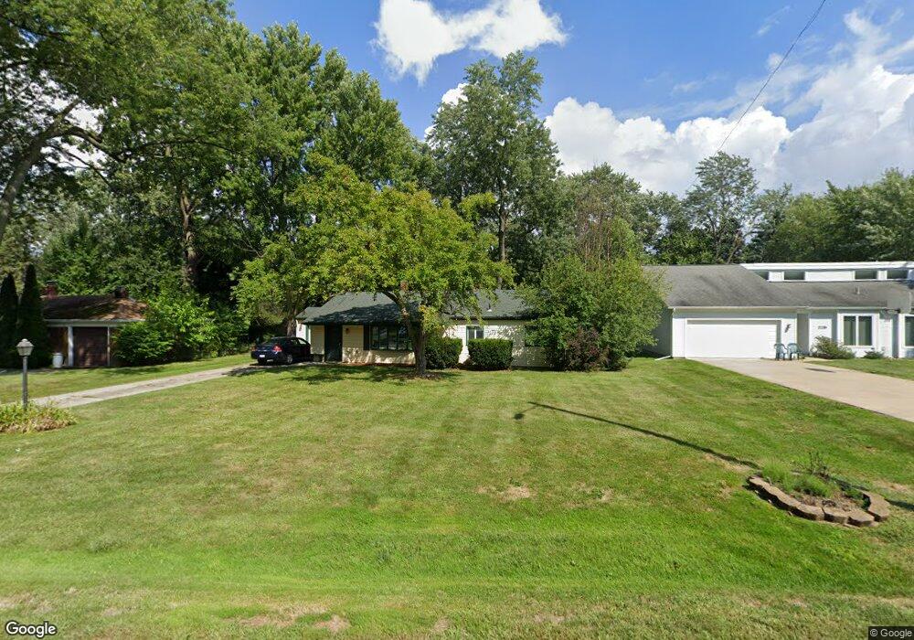
2221 Lancaster Rd Bloomfield Hills, MI 48302
Estimated Value: $254,309 - $295,000
3
Beds
1
Bath
1,114
Sq Ft
$251/Sq Ft
Est. Value
About This Home
This home is located at 2221 Lancaster Rd, Bloomfield Hills, MI 48302 and is currently estimated at $279,327, approximately $250 per square foot. 2221 Lancaster Rd is a home located in Oakland County with nearby schools including Eastover Elementary School, Bloomfield Hills High School, and Arts & Technology Academy of Pontiac.
Ownership History
Date
Name
Owned For
Owner Type
Purchase Details
Closed on
May 15, 1998
Sold by
Toomey Kathleen A
Bought by
Traudt Joseph W
Current Estimated Value
Home Financials for this Owner
Home Financials are based on the most recent Mortgage that was taken out on this home.
Original Mortgage
$116,100
Outstanding Balance
$22,923
Interest Rate
7.22%
Estimated Equity
$256,404
Purchase Details
Closed on
Feb 13, 1991
Sold by
Larose Leo D
Bought by
Traudt Joseph W
Create a Home Valuation Report for This Property
The Home Valuation Report is an in-depth analysis detailing your home's value as well as a comparison with similar homes in the area
Home Values in the Area
Average Home Value in this Area
Purchase History
| Date | Buyer | Sale Price | Title Company |
|---|---|---|---|
| Traudt Joseph W | $129,000 | -- | |
| Traudt Joseph W | -- | -- |
Source: Public Records
Mortgage History
| Date | Status | Borrower | Loan Amount |
|---|---|---|---|
| Open | Traudt Joseph W | $116,100 |
Source: Public Records
Tax History Compared to Growth
Tax History
| Year | Tax Paid | Tax Assessment Tax Assessment Total Assessment is a certain percentage of the fair market value that is determined by local assessors to be the total taxable value of land and additions on the property. | Land | Improvement |
|---|---|---|---|---|
| 2024 | $851 | $95,760 | $0 | $0 |
| 2023 | $824 | $86,150 | $0 | $0 |
| 2022 | $1,549 | $77,120 | $0 | $0 |
| 2021 | $1,538 | $73,380 | $0 | $0 |
| 2020 | $754 | $69,540 | $0 | $0 |
| 2019 | $1,447 | $63,890 | $0 | $0 |
| 2018 | $1,454 | $60,510 | $0 | $0 |
| 2017 | $1,416 | $57,800 | $0 | $0 |
| 2016 | $1,419 | $54,150 | $0 | $0 |
| 2015 | -- | $49,330 | $0 | $0 |
| 2014 | -- | $39,550 | $0 | $0 |
| 2011 | -- | $35,230 | $0 | $0 |
Source: Public Records
Map
Nearby Homes
- 95 Hillsdale Rd
- 00 S Berkshire
- 2449 Mulberry Square Unit 31
- 2383 Mulberry Square Unit 72
- 2449 Mulberry Square Unit 28
- 2442 Mulberry Square Unit 36
- 2665 Lahser Rd
- 136 Belroi Place
- 42160 Woodward Ave Unit 8
- 42160 Woodward Ave
- 240 Applewood Ln
- 2625 Plum Brook Dr
- 454 N Fox Hills Dr Unit A-8
- 480 Fox Hills Dr N Unit 6
- 433 Fox Hills Dr S Unit 5
- 448 Fox Hills Dr S Unit 3
- 363 Sycamore Ct
- 1987 Hunters Ridge Dr
- 200 Astorwood St
- 2724 Alveston Dr
- 2211 Lancaster Rd
- 2231 Lancaster Rd
- 0 Lancaster Rd
- 2199 Lancaster Rd
- 2241 Lancaster Rd
- 333 Marlborough Dr
- 351 Marlborough Dr
- 2220 Lancaster Rd
- 2230 Lancaster Rd
- 2175 Lancaster Rd
- 2251 Lancaster Rd
- 369 Marlborough Dr
- 2240 Lancaster Rd
- 309 Marlborough Dr
- 2200 Lancaster Rd
- 2252 Lancaster Rd
- 2263 Lancaster Rd
- 385 Marlborough Dr
- 297 Marlborough Dr
- 2155 Devonshire Rd