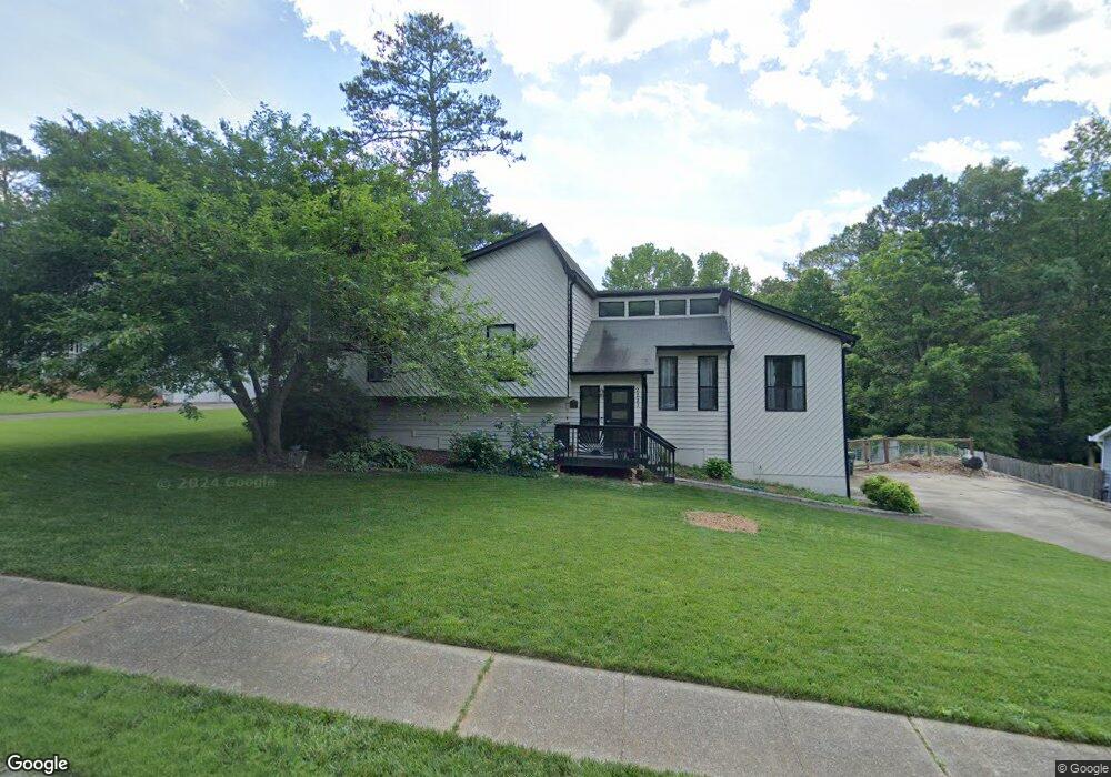
2221 Sims Dr NE Marietta, GA 30066
Sandy Plains NeighborhoodEstimated Value: $374,943 - $491,000
3
Beds
4
Baths
1,578
Sq Ft
$285/Sq Ft
Est. Value
About This Home
This home is located at 2221 Sims Dr NE, Marietta, GA 30066 and is currently estimated at $449,986, approximately $285 per square foot. 2221 Sims Dr NE is a home located in Cobb County with nearby schools including Rocky Mount Elementary School, Simpson Middle School, and Lassiter High School.
Ownership History
Date
Name
Owned For
Owner Type
Purchase Details
Closed on
May 8, 2015
Sold by
Roberts Jeff
Bought by
Schlendering Chad A and Schlendering Chandra R
Current Estimated Value
Home Financials for this Owner
Home Financials are based on the most recent Mortgage that was taken out on this home.
Original Mortgage
$191,468
Outstanding Balance
$144,724
Interest Rate
3.25%
Mortgage Type
FHA
Estimated Equity
$305,262
Create a Home Valuation Report for This Property
The Home Valuation Report is an in-depth analysis detailing your home's value as well as a comparison with similar homes in the area
Home Values in the Area
Average Home Value in this Area
Purchase History
| Date | Buyer | Sale Price | Title Company |
|---|---|---|---|
| Schlendering Chad A | $195,000 | -- |
Source: Public Records
Mortgage History
| Date | Status | Borrower | Loan Amount |
|---|---|---|---|
| Open | Schlendering Chad A | $191,468 |
Source: Public Records
Tax History Compared to Growth
Tax History
| Year | Tax Paid | Tax Assessment Tax Assessment Total Assessment is a certain percentage of the fair market value that is determined by local assessors to be the total taxable value of land and additions on the property. | Land | Improvement |
|---|---|---|---|---|
| 2025 | $3,475 | $142,644 | $30,000 | $112,644 |
| 2024 | $3,252 | $132,232 | $28,000 | $104,232 |
| 2023 | $2,709 | $132,232 | $28,000 | $104,232 |
| 2022 | $3,070 | $122,832 | $24,400 | $98,432 |
| 2021 | $2,795 | $110,240 | $24,400 | $85,840 |
| 2020 | $2,795 | $110,240 | $24,400 | $85,840 |
| 2019 | $2,641 | $103,204 | $24,400 | $78,804 |
| 2018 | $2,641 | $103,204 | $24,400 | $78,804 |
| 2017 | $1,970 | $77,436 | $16,800 | $60,636 |
| 2016 | $2,226 | $77,436 | $16,800 | $60,636 |
| 2015 | $2,281 | $77,436 | $16,800 | $60,636 |
| 2014 | -- | $66,604 | $0 | $0 |
Source: Public Records
Map
Nearby Homes
- 3663 Heatherwood Dr NE
- 3851 Trickum Rd NE
- 3634 Stonehenge Way NE
- 3835 Rockhaven Ct
- 3812 Havenrock Dr
- 2477 Bobbie Dr
- 3816 Havenrock Dr
- 3287 Allegheny Dr
- 1984 Credence Ct NE
- 3844 Havenrock
- 2124 Lassiter Field Dr NE
- 2403 Wistful Way
- 2415 Wistful Way
- 4050 Idlewilde Meadows Dr NE
- 1833 Lake Ebenezer Trail NE
- 4056 Longford Dr NE
- 2578 Middle Coray Cir
- 1810 Ebenezer Farm Cir
- 3505 Bonaire Ct
- 2011 Shadowwood Dr
- 2231 Sims Dr NE
- 2241 Sims Dr NE
- 2270 Sims Dr NE Unit 2
- 3608 Downing St
- 2213 Sims Dr NE
- 3606 Downing St
- 2280 Sims Dr NE
- 2280 Sims Dr NE
- 2260 Sims Dr NE Unit 3
- 3610 Downing St
- 2250 Sims Dr NE
- 3612 Downing St
- 2251 Sims Dr NE
- 3602 Downing St Unit 1
- 2290 Sims Dr NE Unit 23
- 3675 Heatherwood Dr NE
- 3677 Heatherwood Dr NE
- 3679 Heatherwood Dr NE
- 3614 Downing St
- 2261 Sims Dr NE