Estimated Value: $613,000 - $1,278,113
3
Beds
3
Baths
3,960
Sq Ft
$239/Sq Ft
Est. Value
About This Home
This home is located at 2221 State Route 122 W, Eaton, OH 45320 and is currently estimated at $945,557, approximately $238 per square foot. 2221 State Route 122 W is a home located in Preble County with nearby schools including Hollingsworth East Elementary School, William Bruce Elementary School, and Eaton Middle School.
Ownership History
Date
Name
Owned For
Owner Type
Purchase Details
Closed on
Dec 14, 2017
Sold by
Hubler Charles D
Bought by
Perry Bruce and Perry Carol A
Current Estimated Value
Purchase Details
Closed on
Apr 21, 2014
Sold by
Hardin Janet L and Hardin William Nelson
Bought by
Perry Carol A
Purchase Details
Closed on
May 15, 2013
Sold by
Hardin Janet L and Hardin William Nelson
Bought by
Perry Carol A
Purchase Details
Closed on
Apr 30, 2012
Sold by
Hardin Janet L and Hardin William Nelson
Bought by
Perry Carol A
Purchase Details
Closed on
Jul 25, 2011
Sold by
Hardin Janet L and Nelson William
Bought by
Perry Carol A
Purchase Details
Closed on
Jan 4, 2010
Sold by
Hardin Janet L and Hardin William Nelson
Bought by
Perry Carol A
Purchase Details
Closed on
Dec 16, 2009
Sold by
Hardin Janet L and Hardin William Nelson
Bought by
Perry Carol A
Create a Home Valuation Report for This Property
The Home Valuation Report is an in-depth analysis detailing your home's value as well as a comparison with similar homes in the area
Home Values in the Area
Average Home Value in this Area
Purchase History
| Date | Buyer | Sale Price | Title Company |
|---|---|---|---|
| Perry Bruce | -- | Southwestern Ohio Title | |
| Hubler Charles D | -- | Southwestern Ohio Title | |
| Perry Carol A | -- | None Available | |
| Perry Carol A | -- | None Available | |
| Perry Carol A | -- | Attorney | |
| Perry Carol A | -- | Attorney | |
| Perry Carol A | -- | Attorney | |
| Perry Carol A | -- | Attorney |
Source: Public Records
Tax History Compared to Growth
Tax History
| Year | Tax Paid | Tax Assessment Tax Assessment Total Assessment is a certain percentage of the fair market value that is determined by local assessors to be the total taxable value of land and additions on the property. | Land | Improvement |
|---|---|---|---|---|
| 2024 | $8,938 | $422,580 | $277,640 | $144,940 |
| 2023 | $8,938 | $422,580 | $277,640 | $144,940 |
| 2022 | $7,525 | $175,000 | $59,360 | $115,640 |
| 2021 | $7,782 | $344,290 | $228,650 | $115,640 |
| 2020 | $7,575 | $344,290 | $228,650 | $115,640 |
| 2019 | $9,177 | $334,730 | $217,760 | $116,970 |
| 2018 | $9,444 | $334,730 | $217,760 | $116,970 |
| 2017 | $9,300 | $335,760 | $218,790 | $116,970 |
| 2016 | $9,729 | $296,380 | $183,780 | $112,600 |
| 2014 | $7,297 | $296,350 | $183,750 | $112,600 |
| 2013 | $7,297 | $258,300 | $145,705 | $112,595 |
Source: Public Records
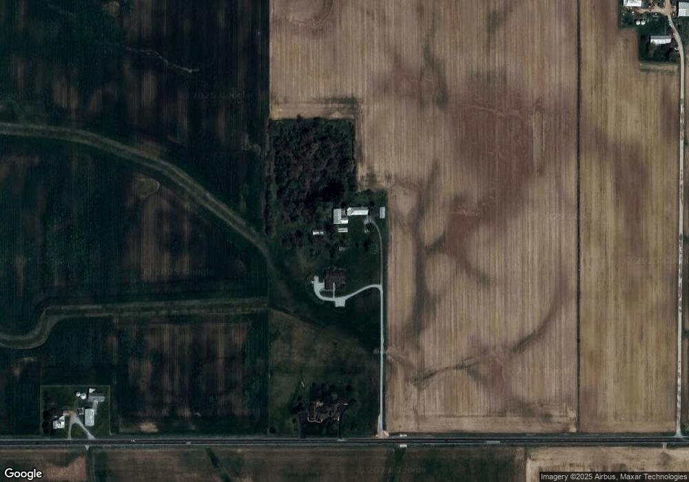
Map
Nearby Homes
- 0 & 00 Washington Jackson Rd
- 636 Skodborg Dr
- 115 Woodland Dr
- 331 W Chicago St
- 405 Walnut St
- 0 Washington Jackson Rd Unit 1516310
- 230 W Spring St
- 210 W Spring St
- 124 Deem St
- 111 W High St
- 233 N Barron St
- 115 E Decatur St
- 919 N Barron St
- 125 E Decatur St
- 0-00 Washington Jackson Rd
- 401 Romadoor Ave Unit 511 (BLDG 12)
- 105 Leatherman Place
- 612 N Cherry St
- 219 E High St
- 519 Romadoor Ave Unit 520
- 2255 State Route 122 W
- 2481 State Route 122 W
- 1973 State Route 122 W
- 0 Longman Rd Unit 752680
- 0 Longman Rd Unit 1475995
- 1 St Clair St E
- 1 St Rt 732
- 0 Longman Rd Unit 700193
- 0 Longman Rd Unit 863940
- 0 Longman Rd Unit 10032708
- 2715 State Route 122 W
- 3525 S Us 127
- 2080 N 127 Us
- 0.7ac Lakengren Dr
- 674 Skodborg Dr
- 120 E Mccabe St
- 224 E North St
- 39 Long Dr
- 0 Thunder Dr Unit Lot 959 865263
- Parcel 4 State Route 732