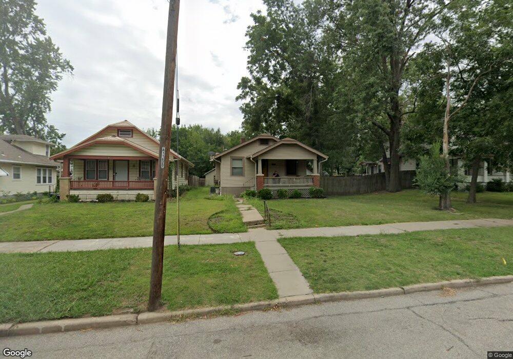
2221 SW Huntoon St Topeka, KS 66604
College Hill NeighborhoodEstimated Value: $125,000 - $172,000
3
Beds
2
Baths
1,004
Sq Ft
$154/Sq Ft
Est. Value
About This Home
This home is located at 2221 SW Huntoon St, Topeka, KS 66604 and is currently estimated at $154,889, approximately $154 per square foot. 2221 SW Huntoon St is a home located in Shawnee County with nearby schools including Buckeye Elementary School, Rosenwald Elementary School, and Martin Park Elementary School.
Ownership History
Date
Name
Owned For
Owner Type
Purchase Details
Closed on
Dec 30, 2011
Sold by
Wager Robert and Wager Robert E
Bought by
Wager Robert E
Current Estimated Value
Home Financials for this Owner
Home Financials are based on the most recent Mortgage that was taken out on this home.
Original Mortgage
$91,816
Outstanding Balance
$63,753
Interest Rate
4.25%
Mortgage Type
FHA
Estimated Equity
$91,136
Purchase Details
Closed on
Sep 10, 2007
Sold by
Martens Jeff and Martens Amy I
Bought by
Wager Robert
Home Financials for this Owner
Home Financials are based on the most recent Mortgage that was taken out on this home.
Original Mortgage
$92,000
Interest Rate
6.7%
Mortgage Type
New Conventional
Create a Home Valuation Report for This Property
The Home Valuation Report is an in-depth analysis detailing your home's value as well as a comparison with similar homes in the area
Home Values in the Area
Average Home Value in this Area
Purchase History
| Date | Buyer | Sale Price | Title Company |
|---|---|---|---|
| Wager Robert E | -- | Kansas Secured Title | |
| Wager Robert | -- | Columbian Title Of Topeka |
Source: Public Records
Mortgage History
| Date | Status | Borrower | Loan Amount |
|---|---|---|---|
| Open | Wager Robert E | $91,816 | |
| Closed | Wager Robert | $92,000 |
Source: Public Records
Tax History Compared to Growth
Tax History
| Year | Tax Paid | Tax Assessment Tax Assessment Total Assessment is a certain percentage of the fair market value that is determined by local assessors to be the total taxable value of land and additions on the property. | Land | Improvement |
|---|---|---|---|---|
| 2025 | $2,361 | $17,521 | -- | -- |
| 2023 | $2,361 | $15,898 | $0 | $0 |
| 2022 | $2,046 | $13,824 | $0 | $0 |
| 2021 | $1,878 | $12,021 | $0 | $0 |
| 2020 | $1,767 | $11,448 | $0 | $0 |
| 2019 | $1,742 | $11,224 | $0 | $0 |
| 2018 | $1,691 | $10,897 | $0 | $0 |
| 2017 | $1,661 | $10,683 | $0 | $0 |
| 2014 | $1,624 | $10,350 | $0 | $0 |
Source: Public Records
Map
Nearby Homes
- 1181 SW MacVicar Ave
- 2516 SW Huntoon St
- 1164 SW MacVicar Ave
- 1432 SW MacVicar Ave
- 1421 SW Jewell Ave
- 1156 SW Woodward Ave
- 1327 SW College Ave
- 1503 SW MacVicar Ave
- 1216 SW College Ave
- 1355 SW Medford Ave
- 1115 SW Woodward Ave
- 2812 SW Huntoon St
- 1610 SW Plass Ave
- 1717 SW 15th St
- 1224 SW Garfield Ave
- 1147 SW Webster Ave
- 1150 SW Collins Ave
- 1022 SW MacVicar Ave
- 1500 SW Mulvane St
- 1527 SW Mulvane St
- 2219 SW Huntoon St
- 2225 SW Huntoon St
- 2217 SW Huntoon St
- 1264 SW MacVicar Ave
- 2215 SW Huntoon St
- 1266 SW MacVicar Ave
- 2220 SW Huntoon St
- 2214 SW Huntoon St
- 1255 SW Plass Ave
- 2201 SW Huntoon St
- 1268 SW MacVicar Ave
- 1257 SW Plass Ave
- 1243 SW Plass Ave
- 1261 SW Plass Ave
- 1240 SW MacVicar Ave
- 1265 SW Plass Ave
- 1253 SW MacVicar Ave
- 1272 SW MacVicar Ave
- 1261 SW MacVicar Ave
- 1239 SW Plass Ave