Estimated Value: $178,000 - $360,000
2
Beds
2
Baths
1,536
Sq Ft
$170/Sq Ft
Est. Value
About This Home
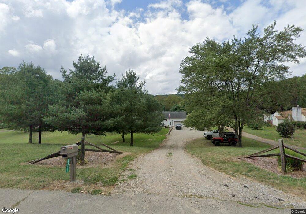
This home is located at 22221 State Route 93 S, Logan, OH 43138 and is currently estimated at $261,285, approximately $170 per square foot. 22221 State Route 93 S is a home located in Hocking County with nearby schools including Hocking Hills Elementary School.
Ownership History
Date
Name
Owned For
Owner Type
Purchase Details
Closed on
Apr 28, 2015
Sold by
Newsome Nicole
Bought by
Bruton Brew
Current Estimated Value
Purchase Details
Closed on
Sep 22, 2008
Sold by
Morgan Stanley Corp
Bought by
Brunton Brew and Newsome Nicole
Home Financials for this Owner
Home Financials are based on the most recent Mortgage that was taken out on this home.
Original Mortgage
$91,973
Interest Rate
5.94%
Mortgage Type
FHA
Create a Home Valuation Report for This Property
The Home Valuation Report is an in-depth analysis detailing your home's value as well as a comparison with similar homes in the area
Purchase History
| Date | Buyer | Sale Price | Title Company |
|---|---|---|---|
| Bruton Brew | -- | None Available | |
| Brunton Brew | $92,700 | None Available |
Source: Public Records
Mortgage History
| Date | Status | Borrower | Loan Amount |
|---|---|---|---|
| Previous Owner | Brunton Brew | $91,973 |
Source: Public Records
Tax History
| Year | Tax Paid | Tax Assessment Tax Assessment Total Assessment is a certain percentage of the fair market value that is determined by local assessors to be the total taxable value of land and additions on the property. | Land | Improvement |
|---|---|---|---|---|
| 2024 | $1,774 | $40,600 | $11,340 | $29,260 |
| 2023 | $1,536 | $40,600 | $11,340 | $29,260 |
| 2022 | $1,538 | $40,600 | $11,340 | $29,260 |
| 2021 | $1,366 | $33,590 | $6,990 | $26,600 |
| 2020 | $1,366 | $33,590 | $6,990 | $26,600 |
| 2019 | $1,366 | $33,590 | $6,990 | $26,600 |
| 2018 | $1,296 | $32,420 | $5,820 | $26,600 |
| 2017 | $1,272 | $32,420 | $5,820 | $26,600 |
| 2016 | $1,263 | $32,420 | $5,820 | $26,600 |
| 2015 | $1,397 | $34,570 | $3,660 | $30,910 |
| 2014 | $1,397 | $34,570 | $3,660 | $30,910 |
| 2013 | $1,403 | $34,570 | $3,660 | $30,910 |
Source: Public Records
Map
Nearby Homes
- 21170 Ohio 93
- 66220 State Route 56
- 63799 Ohio 56
- 64310 State Route 56
- 63993 Woodgeard Rd
- 20088 Rauber Rd
- 21120 Trowbridge Rd
- 24754 Shurtz Rd
- 20022 Feathers Rd
- 68247 State Route 56
- 0 Ohio 328
- 25140 Shurtz Rd
- 27662 Ohio 56
- 18734 Griffith Rd
- 18732 Griffith Rd
- 18682 Griffith Rd
- 19531 Kalklosch Rd
- Parcel 3 Bethel Rd
- 19401 Linden Rd
- 26975 Chapel Ridge Rd
- 22185 State Route 93 S
- 22165 Ohio 93
- 22165 S
- 22145 State Route 93 S
- 22100 Ohio 93
- 22041 State Route 93 S
- 21911 State Route 93 S
- 22497 State Route 93 S
- 21833 State Route 93 S
- 21830 State Route 93 S
- 22816 Griffith Rd
- 21540 State Route 93
- 22618 Griffith Rd
- 21600 State Route 93 S
- 000 Griffith Rd
- 21899 Griffith Rd
- 22808 Griffith Rd
- 21600 S St Rt 93
- 22878 Griffith Rd
- 22878 Griffith Rd