22236 478th Ave Lake Crystal, MN 56055
Estimated Value: $408,000 - $640,298
4
Beds
2
Baths
1,950
Sq Ft
$287/Sq Ft
Est. Value
About This Home
This home is located at 22236 478th Ave, Lake Crystal, MN 56055 and is currently estimated at $559,575, approximately $286 per square foot. 22236 478th Ave is a home located in Blue Earth County with nearby schools including Lake Crystal Wellcome Memorial Elementary School and Lake Crystal Wellcome Memorial Secondary School.
Ownership History
Date
Name
Owned For
Owner Type
Purchase Details
Closed on
Oct 14, 2021
Sold by
Whitney Michael F and Whitney Carol F
Bought by
Ydsite Steven D and Ydsite Sandra E
Current Estimated Value
Purchase Details
Closed on
Jun 20, 2019
Sold by
Neese Steven and Neese Deanna
Bought by
Farasyn Daniel C and Farasyn Kirstin M
Home Financials for this Owner
Home Financials are based on the most recent Mortgage that was taken out on this home.
Original Mortgage
$65,000
Interest Rate
4%
Mortgage Type
Commercial
Create a Home Valuation Report for This Property
The Home Valuation Report is an in-depth analysis detailing your home's value as well as a comparison with similar homes in the area
Home Values in the Area
Average Home Value in this Area
Purchase History
| Date | Buyer | Sale Price | Title Company |
|---|---|---|---|
| Ydsite Steven D | $125,000 | None Available | |
| Farasyn Daniel C | $75,000 | None Available |
Source: Public Records
Mortgage History
| Date | Status | Borrower | Loan Amount |
|---|---|---|---|
| Previous Owner | Farasyn Daniel C | $65,000 |
Source: Public Records
Tax History Compared to Growth
Tax History
| Year | Tax Paid | Tax Assessment Tax Assessment Total Assessment is a certain percentage of the fair market value that is determined by local assessors to be the total taxable value of land and additions on the property. | Land | Improvement |
|---|---|---|---|---|
| 2025 | $3,904 | $555,100 | $83,300 | $471,800 |
| 2024 | $3,904 | $525,200 | $83,300 | $441,900 |
| 2023 | $3,866 | $529,700 | $83,300 | $446,400 |
| 2022 | $2,774 | $513,700 | $83,300 | $430,400 |
| 2021 | $416 | $331,800 | $83,300 | $248,500 |
| 2020 | $874 | $120,700 | $69,400 | $51,300 |
| 2019 | $810 | $120,700 | $69,400 | $51,300 |
| 2018 | $734 | $116,300 | $69,400 | $46,900 |
| 2017 | $700 | $109,000 | $69,400 | $39,600 |
| 2016 | $682 | $107,400 | $69,400 | $38,000 |
| 2015 | $8 | $106,400 | $69,400 | $37,000 |
| 2014 | $928 | $116,800 | $70,000 | $46,800 |
Source: Public Records
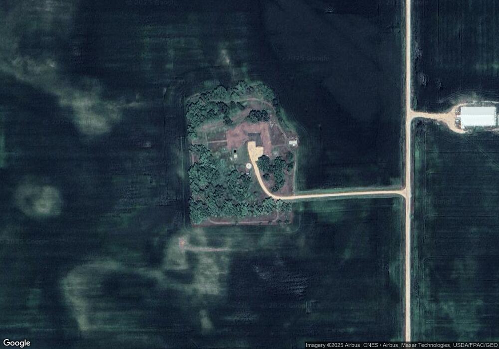
Map
Nearby Homes
- 0 T-183 at 227th St Unit NOC6331274
- 48330 206th St
- 000 Minnesota 15
- 0 135th Ave
- 5XXX Mary Ln
- 0 Tbd Butternut Valley Township Unit 7038031
- 398 Collin Dr
- 304 Collin Dr
- 310 Collin Dr
- 316 Collin Dr
- 322 Collin Dr
- 328 Collin Dr
- 334 Collin Dr
- 340 Collin Dr
- 543 Valley View Dr
- Tbd Shag Rd Unit LotWP001
- 326 Ashlynn Ct
- 319 Ashlynn Ct
- 325 Ashlynn Ct