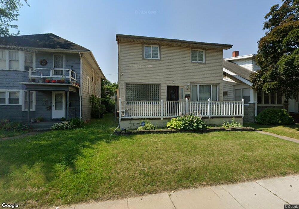
2225 Dorr St Toledo, OH 43607
Scott Park NeighborhoodEstimated Value: $81,000 - $152,234
4
Beds
3
Baths
2,166
Sq Ft
$57/Sq Ft
Est. Value
About This Home
This home is located at 2225 Dorr St, Toledo, OH 43607 and is currently estimated at $123,809, approximately $57 per square foot. 2225 Dorr St is a home located in Lucas County with nearby schools including Old Orchard Elementary School, Start High School, and Explorers Academy.
Ownership History
Date
Name
Owned For
Owner Type
Purchase Details
Closed on
Apr 29, 2005
Sold by
Harris Maggie A and Harris Gregory M
Bought by
Harris Gregory M and Harris Maggie A
Current Estimated Value
Home Financials for this Owner
Home Financials are based on the most recent Mortgage that was taken out on this home.
Original Mortgage
$96,050
Interest Rate
6.05%
Mortgage Type
New Conventional
Create a Home Valuation Report for This Property
The Home Valuation Report is an in-depth analysis detailing your home's value as well as a comparison with similar homes in the area
Home Values in the Area
Average Home Value in this Area
Purchase History
| Date | Buyer | Sale Price | Title Company |
|---|---|---|---|
| Harris Gregory M | -- | -- |
Source: Public Records
Mortgage History
| Date | Status | Borrower | Loan Amount |
|---|---|---|---|
| Closed | Harris Gregory M | $96,050 |
Source: Public Records
Tax History Compared to Growth
Tax History
| Year | Tax Paid | Tax Assessment Tax Assessment Total Assessment is a certain percentage of the fair market value that is determined by local assessors to be the total taxable value of land and additions on the property. | Land | Improvement |
|---|---|---|---|---|
| 2024 | $981 | $30,765 | $4,970 | $25,795 |
| 2023 | $1,620 | $23,870 | $4,235 | $19,635 |
| 2022 | $1,614 | $23,870 | $4,235 | $19,635 |
| 2021 | $1,622 | $23,870 | $4,235 | $19,635 |
| 2020 | $1,564 | $19,950 | $3,535 | $16,415 |
| 2019 | $1,513 | $19,950 | $3,535 | $16,415 |
| 2018 | $1,511 | $19,950 | $3,535 | $16,415 |
| 2017 | $1,595 | $19,775 | $3,605 | $16,170 |
| 2016 | $1,561 | $56,500 | $10,300 | $46,200 |
| 2015 | $1,515 | $56,500 | $10,300 | $46,200 |
| 2014 | $1,244 | $19,780 | $3,610 | $16,170 |
| 2013 | $1,244 | $19,780 | $3,610 | $16,170 |
Source: Public Records
Map
Nearby Homes
- 1329 Parkside Blvd
- 2145 Dorr St
- 1215 Woodstock Ave
- 908 Coventry Ave
- 913 Coventry Ave
- 1318 Addington Rd
- 2033 Crosswell Place
- 2307 Avondale Ave
- 1513 Waverly Ave
- 1131 Montrose Ave
- 1940 Crosswell Place
- 1723 Potomac Dr
- 2000 Oakwood Ave
- 1735 Perth St
- 1423 Roosevelt Ave
- 1420 Upton Ave
- 1929 Foster Ave
- 605 Waverly Ave
- 1819 Oakwood Ave
- 1771 Kensington Rd
- 2227 Dorr St
- 2227 Dorr St Unit 2
- 2227 Dorr St Unit 1
- 2223 Dorr St
- 1223 Shirley Ave
- 2231 Dorr St
- 1221 Shirley Ave
- 1219 Shirley Ave
- 2215 Dorr St
- 1218 Shirley Ave
- 1215 Shirley Ave
- 2209 Dorr St
- 1211 Parkside Blvd
- 1208 Shirley Ave
- 2203 Dorr St
- 1207 Parkside Blvd
- 1205 Parkside Blvd
- 2251 Dorr St
- 1129 Shirley Ave
- 1201 Parkside Blvd