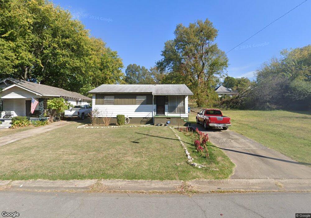
2225 Howard St Little Rock, AR 72202
Central High NeighborhoodEstimated Value: $91,000 - $119,000
--
Bed
1
Bath
1,564
Sq Ft
$67/Sq Ft
Est. Value
About This Home
This home is located at 2225 Howard St, Little Rock, AR 72202 and is currently estimated at $104,852, approximately $67 per square foot. 2225 Howard St is a home located in Pulaski County with nearby schools including Stephens Elementary School, Dunbar Magnet Middle School, and Central High School.
Ownership History
Date
Name
Owned For
Owner Type
Purchase Details
Closed on
Feb 27, 1998
Sold by
Turner Alvin and Turner Clarice
Bought by
Green Eldoris and Robinson Loreta
Current Estimated Value
Create a Home Valuation Report for This Property
The Home Valuation Report is an in-depth analysis detailing your home's value as well as a comparison with similar homes in the area
Home Values in the Area
Average Home Value in this Area
Purchase History
| Date | Buyer | Sale Price | Title Company |
|---|---|---|---|
| Green Eldoris | -- | -- |
Source: Public Records
Tax History Compared to Growth
Tax History
| Year | Tax Paid | Tax Assessment Tax Assessment Total Assessment is a certain percentage of the fair market value that is determined by local assessors to be the total taxable value of land and additions on the property. | Land | Improvement |
|---|---|---|---|---|
| 2025 | $432 | $13,077 | $800 | $12,277 |
| 2024 | $432 | $13,077 | $800 | $12,277 |
| 2023 | $432 | $13,077 | $800 | $12,277 |
| 2022 | $432 | $13,077 | $800 | $12,277 |
| 2021 | $435 | $7,110 | $600 | $6,510 |
| 2020 | $57 | $7,110 | $600 | $6,510 |
| 2019 | $57 | $7,110 | $600 | $6,510 |
| 2018 | $82 | $7,110 | $600 | $6,510 |
| 2017 | $82 | $7,110 | $600 | $6,510 |
| 2016 | $82 | $6,170 | $1,600 | $4,570 |
| 2015 | $433 | $6,170 | $1,600 | $4,570 |
| 2014 | $433 | $6,170 | $1,600 | $4,570 |
Source: Public Records
Map
Nearby Homes
- 2213 Dennison St
- 2411 S Schiller St
- 2100 S Battery St
- 2405 S Battery St
- 2103 Wolfe St
- 2600 S Battery St
- 1905 S Battery St
- 1921 Wright Ave
- 2417 Wolfe St
- 3214 Wolfe St
- 1817 S Park St
- 2600 Wolfe St
- 1724 W 19th St
- 1609 W Charles Bussey Ave
- 2719 S Battery St
- 1524 W 22nd St
- 1515 W 22nd St
- 2211 W 17th St
- 1910 S Woodrow St
- 1509 W 19th St