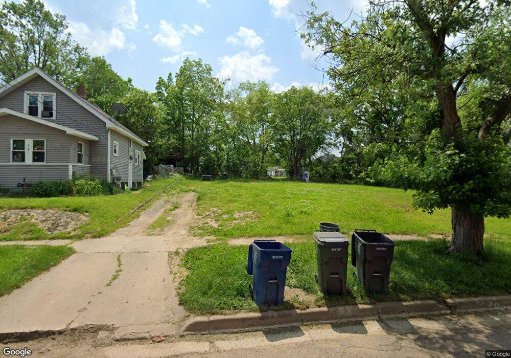
2225 Reid St Flint, MI 48503
Southwest Flint NeighborhoodEstimated Value: $20,276 - $90,000
3
Beds
1
Bath
1,174
Sq Ft
$44/Sq Ft
Est. Value
About This Home
This home is located at 2225 Reid St, Flint, MI 48503 and is currently estimated at $52,092, approximately $44 per square foot. 2225 Reid St is a home located in Genesee County with nearby schools including Eisenhower School, St. Paul Lutheran School, and St John Vianney Catholic School.
Ownership History
Date
Name
Owned For
Owner Type
Purchase Details
Closed on
Dec 20, 2016
Sold by
Cherry Deborah L
Bought by
Genesee County Land Bank
Current Estimated Value
Purchase Details
Closed on
Jan 22, 2016
Sold by
Harbour Portfolio Viii Lp
Bought by
Dmp Holdings Llc
Purchase Details
Closed on
Oct 2, 2013
Sold by
Fannie Mae
Bought by
Harbour Portfolio Viii Lp
Purchase Details
Closed on
Apr 3, 2013
Sold by
Larkin James Harold and Larkin Melody R
Bought by
Green Tree Servicing Llc
Create a Home Valuation Report for This Property
The Home Valuation Report is an in-depth analysis detailing your home's value as well as a comparison with similar homes in the area
Home Values in the Area
Average Home Value in this Area
Purchase History
| Date | Buyer | Sale Price | Title Company |
|---|---|---|---|
| Genesee County Land Bank | -- | None Available | |
| Dmp Holdings Llc | -- | None Available | |
| Harbour Portfolio Viii Lp | $1,930 | Servicelink | |
| Green Tree Servicing Llc | $44,116 | None Available |
Source: Public Records
Tax History Compared to Growth
Tax History
| Year | Tax Paid | Tax Assessment Tax Assessment Total Assessment is a certain percentage of the fair market value that is determined by local assessors to be the total taxable value of land and additions on the property. | Land | Improvement |
|---|---|---|---|---|
| 2025 | -- | $0 | $0 | $0 |
| 2024 | -- | $0 | $0 | $0 |
| 2023 | -- | $0 | $0 | $0 |
| 2022 | $0 | $0 | $0 | $0 |
| 2021 | $0 | $0 | $0 | $0 |
| 2020 | $0 | $0 | $0 | $0 |
| 2019 | $825 | $0 | $0 | $0 |
| 2018 | $221 | $0 | $0 | $0 |
| 2017 | $221 | $0 | $0 | $0 |
| 2016 | $825 | $0 | $0 | $0 |
| 2015 | $0 | $0 | $0 | $0 |
| 2014 | -- | $0 | $0 | $0 |
| 2012 | -- | $11,800 | $0 | $0 |
Source: Public Records
Map
Nearby Homes
- 2124 Swayze St
- 2437 Zimmerman St
- 1402 Woodcroft Ave
- 2429 Brown St
- 2464 Gibson St
- 2509 Corunna Rd
- 2433 Brown St
- 1412 Durand St
- 1926 W Court St
- 2537 Swayze St
- 1505 Downey St
- 1506 Downey St
- 1202 Pershing St
- 2618 Brown St
- 2608 Cumings Ave
- 1006 Hammond Ave
- 1516 Gainey Ave
- 2710 Reynolds St
- 2663 W Court St
- 1725 Lincoln Dr