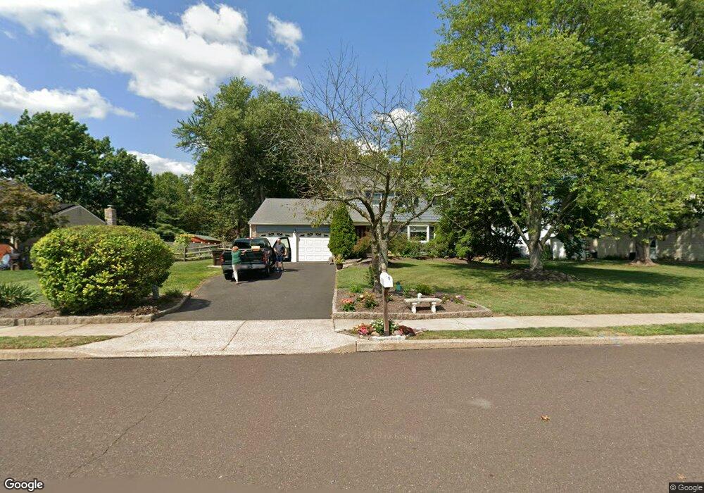
2226 Briar Patch Ln Hatfield, PA 19440
Estimated Value: $540,000 - $631,000
4
Beds
3
Baths
2,188
Sq Ft
$260/Sq Ft
Est. Value
About This Home
This home is located at 2226 Briar Patch Ln, Hatfield, PA 19440 and is currently estimated at $568,692, approximately $259 per square foot. 2226 Briar Patch Ln is a home located in Montgomery County with nearby schools including A. M. Kulp Elementary School, Pennfield Middle School, and North Penn Senior High School.
Ownership History
Date
Name
Owned For
Owner Type
Purchase Details
Closed on
Apr 22, 2024
Sold by
Ushler Robert T and Ushler Cynthia N
Bought by
Carnahan James T
Current Estimated Value
Home Financials for this Owner
Home Financials are based on the most recent Mortgage that was taken out on this home.
Original Mortgage
$538,257
Outstanding Balance
$530,199
Interest Rate
6.87%
Mortgage Type
FHA
Estimated Equity
$38,493
Purchase Details
Closed on
Jun 24, 1983
Bought by
Ushler Robert T and Ushler Cynthia N
Create a Home Valuation Report for This Property
The Home Valuation Report is an in-depth analysis detailing your home's value as well as a comparison with similar homes in the area
Home Values in the Area
Average Home Value in this Area
Purchase History
| Date | Buyer | Sale Price | Title Company |
|---|---|---|---|
| Carnahan James T | $550,000 | None Listed On Document | |
| Ushler Robert T | $87,000 | -- |
Source: Public Records
Mortgage History
| Date | Status | Borrower | Loan Amount |
|---|---|---|---|
| Open | Carnahan James T | $538,257 |
Source: Public Records
Tax History
| Year | Tax Paid | Tax Assessment Tax Assessment Total Assessment is a certain percentage of the fair market value that is determined by local assessors to be the total taxable value of land and additions on the property. | Land | Improvement |
|---|---|---|---|---|
| 2025 | $6,143 | $153,440 | $53,010 | $100,430 |
| 2024 | $6,143 | $153,440 | $53,010 | $100,430 |
| 2023 | $5,880 | $153,440 | $53,010 | $100,430 |
| 2022 | $5,688 | $153,440 | $53,010 | $100,430 |
| 2021 | $5,526 | $153,440 | $53,010 | $100,430 |
| 2020 | $5,396 | $153,440 | $53,010 | $100,430 |
| 2019 | $5,306 | $153,440 | $53,010 | $100,430 |
Source: Public Records
Map
Nearby Homes
- 1943 Linden Ln
- 2296 Bramble Gate Dr
- 2092 Hawthorne Ln
- 1695 Latch String Ln
- 0 Fairmount St
- 1309 W Orvilla Rd
- 2732 Valley Woods Rd
- 105 S Main St
- 36 N Maple Ave
- 1173 Independence Way
- 1315 Deer Run Rd
- 1148 Independence Way
- 2331 Cambridge Cir
- 369 Wheatfield Cir
- 109 Hickory Dr
- 113 Hickory Dr
- 15 Maple Ave
- 9 Fortuna Dr
- 8 Fortuna Dr
- 5 Fortuna Dr
- 2218 Briar Patch Ln
- 2234 Briar Patch Ln
- 1526 Brush Hollow Rd
- 2210 Briar Patch Ln
- 2235 Hedgewood Rd
- 2235 Briar Patch Ln
- 2217 Hedgewood Rd
- 2217 Briar Patch Ln
- 2243 Hedgewood Rd
- 2243 Briar Patch Ln
- 2209 Hedgewood Rd
- 2209 Briar Patch Ln
- 1543 Brush Hollow Rd
- 1535 Brush Hollow Rd
- 1551 Brush Hollow Rd
- 1407 Maple Ave
- 1433 Maple Ave
- 1517 Brush Hollow Rd
- 2240 E Orvilla Rd
- 1443 Maple Ave
Your Personal Tour Guide
Ask me questions while you tour the home.