22266 Pheasant Ct Hutchinson, MN 55350
Estimated Value: $369,000 - $477,351
3
Beds
3
Baths
3,304
Sq Ft
$131/Sq Ft
Est. Value
About This Home
This home is located at 22266 Pheasant Ct, Hutchinson, MN 55350 and is currently estimated at $434,088, approximately $131 per square foot. 22266 Pheasant Ct is a home located in McLeod County with nearby schools including Hutchinson West Elementary School, Hutchinson Park Elementary School, and Hutchinson Middle School.
Ownership History
Date
Name
Owned For
Owner Type
Purchase Details
Closed on
Oct 22, 2021
Sold by
Mraz Daniel J and Mraz Kimberly M
Bought by
Markgraf Tiffanni L and Markgraf Nicholas J
Current Estimated Value
Home Financials for this Owner
Home Financials are based on the most recent Mortgage that was taken out on this home.
Original Mortgage
$388,637
Outstanding Balance
$354,811
Interest Rate
2.88%
Mortgage Type
VA
Estimated Equity
$79,277
Create a Home Valuation Report for This Property
The Home Valuation Report is an in-depth analysis detailing your home's value as well as a comparison with similar homes in the area
Home Values in the Area
Average Home Value in this Area
Purchase History
| Date | Buyer | Sale Price | Title Company |
|---|---|---|---|
| Markgraf Tiffanni L | $270,870 | Mcleod Abstract & Title |
Source: Public Records
Mortgage History
| Date | Status | Borrower | Loan Amount |
|---|---|---|---|
| Open | Markgraf Tiffanni L | $388,637 |
Source: Public Records
Tax History Compared to Growth
Tax History
| Year | Tax Paid | Tax Assessment Tax Assessment Total Assessment is a certain percentage of the fair market value that is determined by local assessors to be the total taxable value of land and additions on the property. | Land | Improvement |
|---|---|---|---|---|
| 2024 | $4,184 | $443,300 | $116,000 | $327,300 |
| 2023 | $3,908 | $414,600 | $110,700 | $303,900 |
| 2022 | $2,828 | $363,100 | $100,200 | $262,900 |
| 2021 | $3,090 | $259,300 | $65,000 | $194,300 |
| 2020 | $3,082 | $259,300 | $65,000 | $194,300 |
| 2019 | $2,650 | $254,900 | $65,000 | $189,900 |
| 2018 | $2,356 | $0 | $0 | $0 |
| 2017 | $2,210 | $0 | $0 | $0 |
| 2016 | $2,196 | $0 | $0 | $0 |
| 2015 | $1,986 | $0 | $0 | $0 |
| 2014 | -- | $0 | $0 | $0 |
Source: Public Records
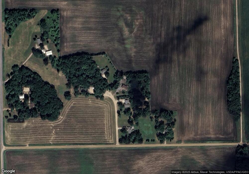
Map
Nearby Homes
- 22242 Pheasant Ct
- 16869 220th St
- 16796 220th St
- 17634 240th St
- 555 N High Dr NE
- 19044 Judson Ct
- 225 10th Ave NE
- 245 10th Ave NE
- 255 10th Ave NE
- 216 10th Ave NE
- 236 10th Ave NE
- 215 10th Ave NE
- 205 10th Ave NE
- 1534 9th Ave SW
- 725 Maple St NE
- 727 Ash St NE
- 648 Bluff St NE
- 635 Hillcrest Rd NE
- 132 College Ave NE
- 584 Bluff St NE
- 22274 Pheasant Ct
- 22238 Pheasant Ct
- 22253 Pheasant Ct
- 17172 220th St
- 22162 Lake Hook Rd
- 22112 Lake Hook Rd
- 22112 Lake Hook Rd
- XXX 220th St
- 22213 Lake Hook Rd
- 22213 Lake Hook Rd
- 16994 220th St
- 22215 Lake Hook Rd
- 16876 220th St
- 16817 220th St
- 22454 Lake Hook Rd
- 21791 Lake Hook Rd
- 21949 Lake Hook Rd
- 16842 220th St
- 16842 220th St
- 16874 220th St