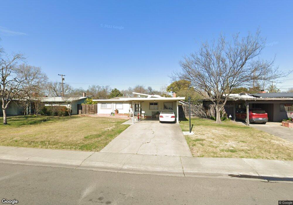
2227 Polk Way Unit 18 Stockton, CA 95207
Lincoln Village NeighborhoodEstimated Value: $289,000 - $405,000
3
Beds
1
Bath
1,254
Sq Ft
$291/Sq Ft
Est. Value
About This Home
This home is located at 2227 Polk Way Unit 18, Stockton, CA 95207 and is currently estimated at $365,124, approximately $291 per square foot. 2227 Polk Way Unit 18 is a home located in San Joaquin County with nearby schools including Tully C. Knoles School, Sierra Middle School, and Lincoln High School.
Ownership History
Date
Name
Owned For
Owner Type
Purchase Details
Closed on
Oct 25, 1996
Sold by
Sharp Scot
Bought by
Rau Timothy L and Rau Sandra L
Current Estimated Value
Home Financials for this Owner
Home Financials are based on the most recent Mortgage that was taken out on this home.
Original Mortgage
$87,377
Outstanding Balance
$8,626
Interest Rate
8.11%
Mortgage Type
FHA
Estimated Equity
$356,498
Purchase Details
Closed on
Apr 12, 1996
Sold by
Sharp Leland D
Bought by
Sharp Scot
Create a Home Valuation Report for This Property
The Home Valuation Report is an in-depth analysis detailing your home's value as well as a comparison with similar homes in the area
Home Values in the Area
Average Home Value in this Area
Purchase History
| Date | Buyer | Sale Price | Title Company |
|---|---|---|---|
| Rau Timothy L | $87,500 | Fidelity National Title Co | |
| Sharp Scot | -- | -- |
Source: Public Records
Mortgage History
| Date | Status | Borrower | Loan Amount |
|---|---|---|---|
| Open | Rau Timothy L | $87,377 |
Source: Public Records
Tax History Compared to Growth
Tax History
| Year | Tax Paid | Tax Assessment Tax Assessment Total Assessment is a certain percentage of the fair market value that is determined by local assessors to be the total taxable value of land and additions on the property. | Land | Improvement |
|---|---|---|---|---|
| 2025 | $3,706 | $142,494 | $65,140 | $77,354 |
| 2024 | $3,584 | $139,701 | $63,863 | $75,838 |
| 2023 | $3,493 | $136,962 | $62,611 | $74,351 |
| 2022 | $3,340 | $134,278 | $61,384 | $72,894 |
| 2021 | $3,279 | $131,646 | $60,181 | $71,465 |
| 2020 | $3,244 | $130,297 | $59,564 | $70,733 |
| 2019 | $3,219 | $127,744 | $58,397 | $69,347 |
| 2018 | $3,141 | $125,240 | $57,252 | $67,988 |
| 2017 | $3,111 | $122,785 | $56,130 | $66,655 |
| 2016 | $2,893 | $120,378 | $55,030 | $65,348 |
| 2014 | $2,910 | $116,248 | $53,142 | $63,106 |
Source: Public Records
Map
Nearby Homes
- 2252 W Benjamin Holt Dr
- 2447 Calhoun Way
- 2014 Douglas Rd
- 2039 W Benjamin Holt Dr
- 1864 Polk Way
- 1860 Douglas Rd
- 1929 W Swain Rd
- 2252 Canyon Creek Dr
- 1703 Polk Way
- 1707 W Swain Rd Unit 5
- 2128 Canyon Creek Dr
- 2009 Cedar Ridge Dr
- 2005 Cedar Ridge Dr
- 1633 Porter Way
- 1629 Porter Way
- 1545 Douglas Rd
- 1720 Mcclellan Way
- 1581 W Swain Rd
- 1583 W Swain Rd
- 2421 Meadow Lake Dr
- 2237 Polk Way
- 2217 Polk Way
- 2232 Calhoun Way
- 2220 Calhoun Way
- 2247 Polk Way
- 2247 W Polk Way
- 2205 Polk Way Unit 18
- 2244 Calhoun Way Unit 18
- 2228 Polk Way Unit 18
- 6421 Alexandria Place
- 2238 Polk Way
- 2218 Polk Way
- 2246 W Polk Way
- 2218 W Polk Way
- 2257 Polk Way
- 2246 Polk Way
- 2256 Calhoun Way
- 2206 Polk Way
- 2267 Polk Way
- 2256 Polk Way