2228 W State Route 350 Wilmington, OH 45177
Estimated Value: $357,000 - $523,000
3
Beds
2
Baths
1,816
Sq Ft
$232/Sq Ft
Est. Value
About This Home
This home is located at 2228 W State Route 350, Wilmington, OH 45177 and is currently estimated at $421,349, approximately $232 per square foot. 2228 W State Route 350 is a home located in Clinton County with nearby schools including Clinton-Massie Elementary School, Clinton-Massie Middle School, and Clinton-Massie High School.
Ownership History
Date
Name
Owned For
Owner Type
Purchase Details
Closed on
Aug 9, 2016
Sold by
Thompson Michael A and Thompson Robin D
Bought by
Shaw Gary M and Shaw Beverly M
Current Estimated Value
Home Financials for this Owner
Home Financials are based on the most recent Mortgage that was taken out on this home.
Original Mortgage
$192,900
Outstanding Balance
$153,613
Interest Rate
3.42%
Mortgage Type
New Conventional
Estimated Equity
$267,736
Create a Home Valuation Report for This Property
The Home Valuation Report is an in-depth analysis detailing your home's value as well as a comparison with similar homes in the area
Home Values in the Area
Average Home Value in this Area
Purchase History
| Date | Buyer | Sale Price | Title Company |
|---|---|---|---|
| Shaw Gary M | $192,900 | Attorney |
Source: Public Records
Mortgage History
| Date | Status | Borrower | Loan Amount |
|---|---|---|---|
| Open | Shaw Gary M | $192,900 |
Source: Public Records
Tax History Compared to Growth
Tax History
| Year | Tax Paid | Tax Assessment Tax Assessment Total Assessment is a certain percentage of the fair market value that is determined by local assessors to be the total taxable value of land and additions on the property. | Land | Improvement |
|---|---|---|---|---|
| 2024 | $3,567 | $105,250 | $23,350 | $81,900 |
| 2023 | $3,567 | $105,250 | $23,350 | $81,900 |
| 2022 | $3,066 | $83,620 | $10,280 | $73,340 |
| 2021 | $3,068 | $83,620 | $10,280 | $73,340 |
| 2020 | $3,013 | $83,620 | $10,280 | $73,340 |
| 2019 | $2,410 | $68,070 | $11,900 | $56,170 |
| 2018 | $2,437 | $68,070 | $11,900 | $56,170 |
| 2017 | $1,187 | $68,070 | $11,900 | $56,170 |
| 2016 | $1,955 | $55,810 | $13,250 | $42,560 |
| 2015 | $1,954 | $55,810 | $13,250 | $42,560 |
| 2013 | $2,008 | $55,110 | $13,250 | $41,860 |
Source: Public Records
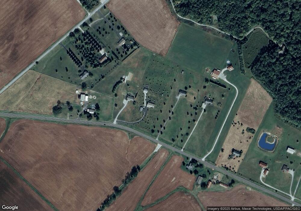
Map
Nearby Homes
- 21 Kimlor Ln
- 279 Frances Dr
- 1211 Pratt Rd
- 6182 Ohio 730
- 963 Pratt Rd
- 6182 State Route 730
- 4347 Ohio 350
- 0 Old State Rd Unit 1849352
- 1623 Reeder Rd
- 9132 St Rt 730
- 9132 State Route 730
- 50 & 62 E State Route 350
- 2211 Reeder Rd
- 1896 Reeder Rd
- 1056 Halpin Rd
- 1903 Ogden Rd
- 450 Pansy Rd
- 216 Pansy Rd
- 945 Lazenby Rd
- 1957 Ohio 730
- 2234 Ohio 350
- 2228 St Rt 350
- 2270 W State Route 350
- 2182 W State Route 350
- 2182 W State Route 350
- 2126 W State Route 350
- 2366 Ohio 350
- 1313 Yankee Rd
- 2078 St Rt 350
- 1277 Yankee Rd
- 2078 Ohio 350
- 2078 W State Route 350
- 1339 Yankee Rd
- 2054 W State Route 350
- 1980 W State Route 350
- 1153 Yankee Rd
- 1924 W State Route 350
- 2586 W State Route 350
- 1816 W State Route 350
- 433 Yankee Rd