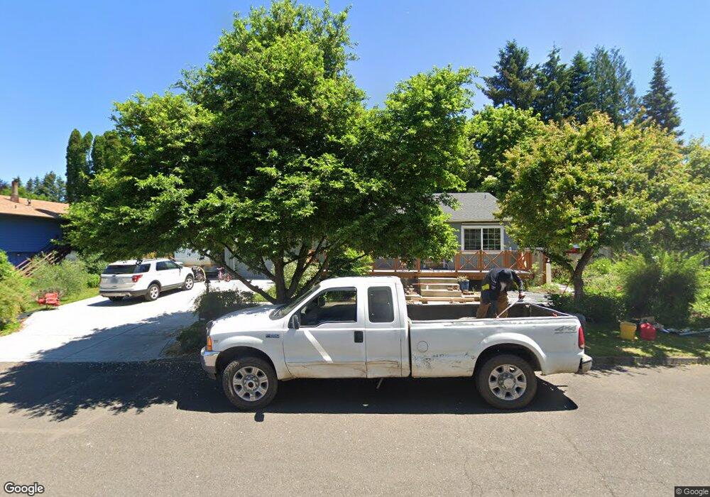
2229 Michael Dr West Linn, OR 97068
Willamette NeighborhoodEstimated Value: $565,610 - $632,000
3
Beds
2
Baths
1,616
Sq Ft
$366/Sq Ft
Est. Value
About This Home
This home is located at 2229 Michael Dr, West Linn, OR 97068 and is currently estimated at $591,653, approximately $366 per square foot. 2229 Michael Dr is a home located in Clackamas County with nearby schools including Willamette Primary School, Athey Creek Middle School, and West Linn High School.
Ownership History
Date
Name
Owned For
Owner Type
Purchase Details
Closed on
Jul 28, 2014
Sold by
Weinberg Michael W and Weinberg Mary E
Bought by
Carter Drew
Current Estimated Value
Home Financials for this Owner
Home Financials are based on the most recent Mortgage that was taken out on this home.
Original Mortgage
$271,579
Outstanding Balance
$206,023
Interest Rate
4.13%
Mortgage Type
New Conventional
Estimated Equity
$385,630
Purchase Details
Closed on
Mar 1, 2011
Sold by
Weinberg Michael W and Weinberg Mary E
Bought by
Weinberg Michael W and Weinberg Mary E
Purchase Details
Closed on
Aug 19, 1997
Sold by
Kaufman Rex D and Kaufman Marcia J
Bought by
Weinberg Michael W and Weinberg Mary E
Home Financials for this Owner
Home Financials are based on the most recent Mortgage that was taken out on this home.
Original Mortgage
$100,000
Interest Rate
7.45%
Create a Home Valuation Report for This Property
The Home Valuation Report is an in-depth analysis detailing your home's value as well as a comparison with similar homes in the area
Home Values in the Area
Average Home Value in this Area
Purchase History
| Date | Buyer | Sale Price | Title Company |
|---|---|---|---|
| Carter Drew | $295,000 | Chicago Title Company | |
| Weinberg Michael W | -- | None Available | |
| Weinberg Michael W | $143,000 | Fidelity National Title Co |
Source: Public Records
Mortgage History
| Date | Status | Borrower | Loan Amount |
|---|---|---|---|
| Open | Carter Drew | $271,579 | |
| Previous Owner | Weinberg Michael W | $100,000 |
Source: Public Records
Tax History Compared to Growth
Tax History
| Year | Tax Paid | Tax Assessment Tax Assessment Total Assessment is a certain percentage of the fair market value that is determined by local assessors to be the total taxable value of land and additions on the property. | Land | Improvement |
|---|---|---|---|---|
| 2025 | $4,504 | $233,718 | -- | -- |
| 2024 | $4,336 | $226,911 | -- | -- |
| 2023 | $4,336 | $220,302 | $0 | $0 |
| 2022 | $4,092 | $213,886 | $0 | $0 |
| 2021 | $3,885 | $207,657 | $0 | $0 |
| 2020 | $3,911 | $201,609 | $0 | $0 |
| 2019 | $3,453 | $181,226 | $0 | $0 |
| 2018 | $3,299 | $175,948 | $0 | $0 |
| 2017 | $3,171 | $170,823 | $0 | $0 |
| 2016 | $3,089 | $165,848 | $0 | $0 |
| 2015 | $2,932 | $161,017 | $0 | $0 |
| 2014 | $2,795 | $156,327 | $0 | $0 |
Source: Public Records
Map
Nearby Homes
- 812 Wendy Ct
- 1160 Blankenship Rd
- 1075 Epperly Way
- 1101 Ryan Ct
- 2250 River Heights Cir
- 1765 Ostman Rd
- 1925 Hillhouse Dr
- 2420 Margery St
- 975 Springtree Ln
- 640 Springtree Ln
- 1733 Jamie Cir
- 880 Springtree Ln Unit 880
- 800 Springtree Ln
- 850 Springtree Ln Unit 850
- 2026 Virginia Ln
- 1618 Village Park Place
- 25540 Cheryl Dr
- 1721 Dollar St Unit 1721
- 1791 Blankenship Rd
- 1694 16th St
- 2245 Michael Dr
- 2211 Michael Dr
- 2220 Ostman Rd
- 2250 Ostman Rd
- 2190 Ostman Rd
- 2265 Michael Dr
- 2222 Michael Dr
- 2208 Michael Dr
- 2240 Michael Dr
- 2260 Ostman Rd
- 2202 Michael Dr
- 2204 Michael Dr
- 2207 Michael Dr
- 2264 Michael Dr
- 2279 Michael Dr
- 0 Nda Required Rd Unit 20409284
- 2160 Ostman Rd
- 2270 Ostman Rd
- 2205 Michael Dr
- 826 Alicia Ct